
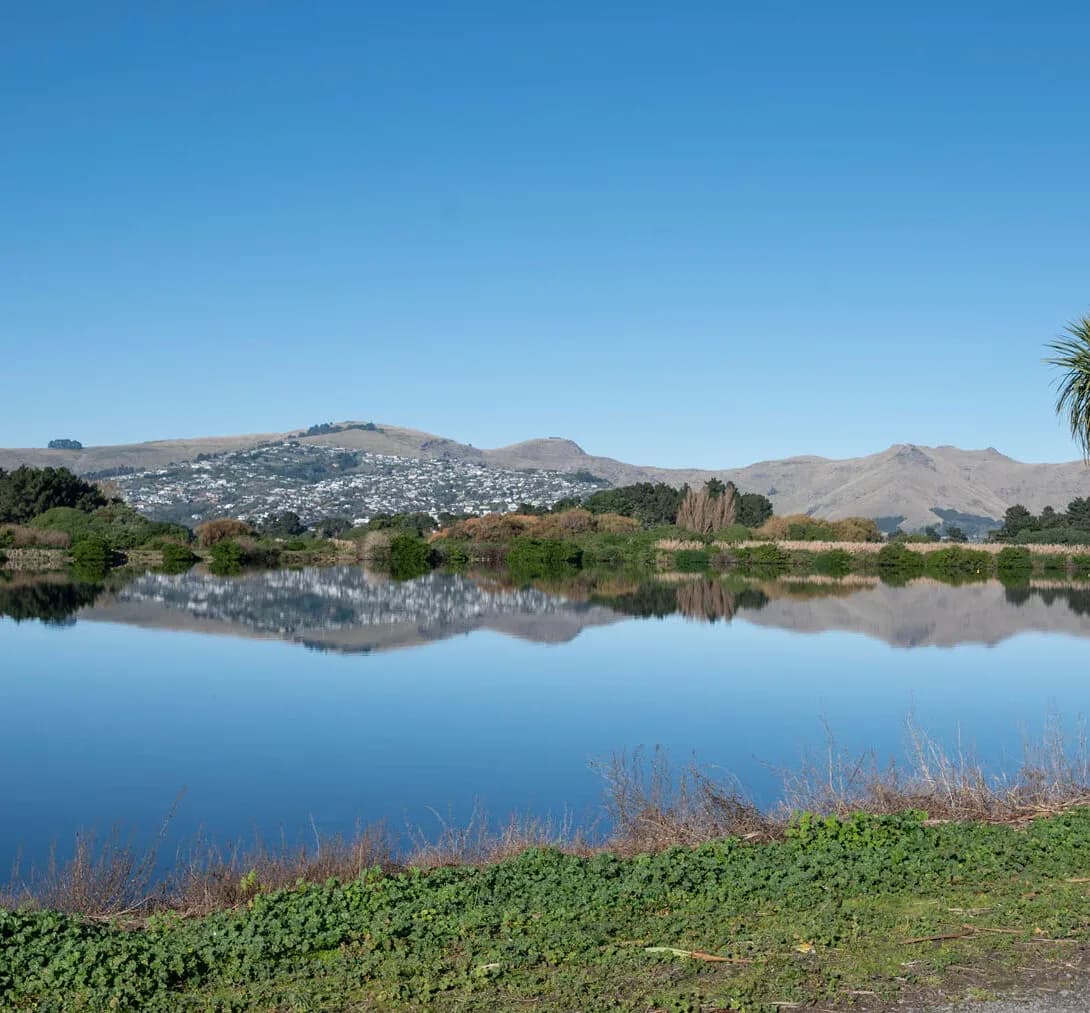
Integrated Catchment Management in Warkworth
Few places show the link between land-use change and catchment health as clearly as Warkworth. The Mahurangi River drains the growing town and its rural surrounds into the Mahurangi Harbour, an estuary already sensitive to sediment, and the Pūhoi-to-Warkworth motorway has accelerated greenfield growth across the catchment. As rolling farmland becomes subdivision, runoff, sediment and stream flow all shift, and the receiving harbour feels the result.
Because Warkworth sits inside Auckland Council’s unitary jurisdiction, catchment and freshwater planning happen under the Auckland Unitary Plan. LDE brings an integrated catchment view to this growth front, combining surface-water modelling, flood and stormwater catchment planning, and land-use and water-quality assessment within the freshwater policy framework. We help developers and the council understand how the Mahurangi catchment responds to growth, and plan land use and stormwater so the harbour is protected.
For Warkworth, that means catchment management matched to one of the region’s busiest greenfield areas.
How our Warkworth team delivers integrated catchment management
In a growth catchment like the Mahurangi, the central question is how land-use change reshapes the way water and sediment move. Our team models the catchment as it develops, mapping how new impervious area changes runoff and flooding, and how rural-to-urban change alters the sediment and contaminant load reaching the harbour. That lets growth be planned around the catchment rather than catching up with its effects later.
Bringing the surface-water, flood and land-use picture together is the core of the work, drawing on our wider integrated catchment management capability and our water experience across the northern growth corridor.
- Catchment modelling of land-use change from rural to urban
- Flood-hazard mapping and catchment stormwater planning
- Sediment and contaminant load assessment for the Mahurangi Harbour
- Low-impact and water-sensitive design strategy at catchment scale
Freshwater planning in the Mahurangi and wider Auckland region
Although Warkworth sits in the Rodney area, freshwater and catchment planning fall under Auckland Council as a unitary authority, so catchment work aligns with the Auckland Unitary Plan and the region’s freshwater management units. National freshwater direction shapes that framework, so we ground our modelling and assessment in the relevant policy and good practice.
- Ministry for the Environment and the National Policy Statement for Freshwater Management
- Water New Zealand good-practice guidance for catchment and stormwater management
LDE catchment management in the Mahurangi catchment
LDE applies integrated catchment thinking across the Warkworth growth area and the wider Mahurangi catchment, modelling how greenfield development changes runoff, flooding and the sediment load reaching the harbour. As the motorway drives rapid urban development, much of our work is about shaping land-use and stormwater decisions so the catchment and its estuary can absorb the growth. You can see more of our regional water delivery on the projects page.
Common questions about integrated catchment management in the Mahurangi
Why does Warkworth’s growth need a catchment-scale approach?
Because the Mahurangi catchment is changing quickly from rural to urban, and that shift affects runoff, flooding and the sediment reaching a sensitive harbour. A catchment view lets growth be planned so those effects are managed across the whole system, not just lot by lot.
How is this different from the stormwater design for a subdivision?
Subdivision stormwater design handles one development. Catchment management models the whole Mahurangi and sets the targets and land-use picture that individual developments then have to meet, so the cumulative effect of many subdivisions stays within what the catchment can take.
Who carries out LDE’s Warkworth catchment work?
Chartered Professional Engineers and freshwater specialists from our team, supported by LDE modelling and planning specialists across the region.
How do you protect the Mahurangi Harbour as the catchment grows?
The harbour is sensitive to sediment, so we model how development and earthworks change the load it receives and use that to shape erosion control, stormwater treatment and land-use decisions across the catchment. Managing the cumulative effect at catchment scale is what keeps the estuary healthy as Warkworth expands.