Experience
Foundation Assessment and Design
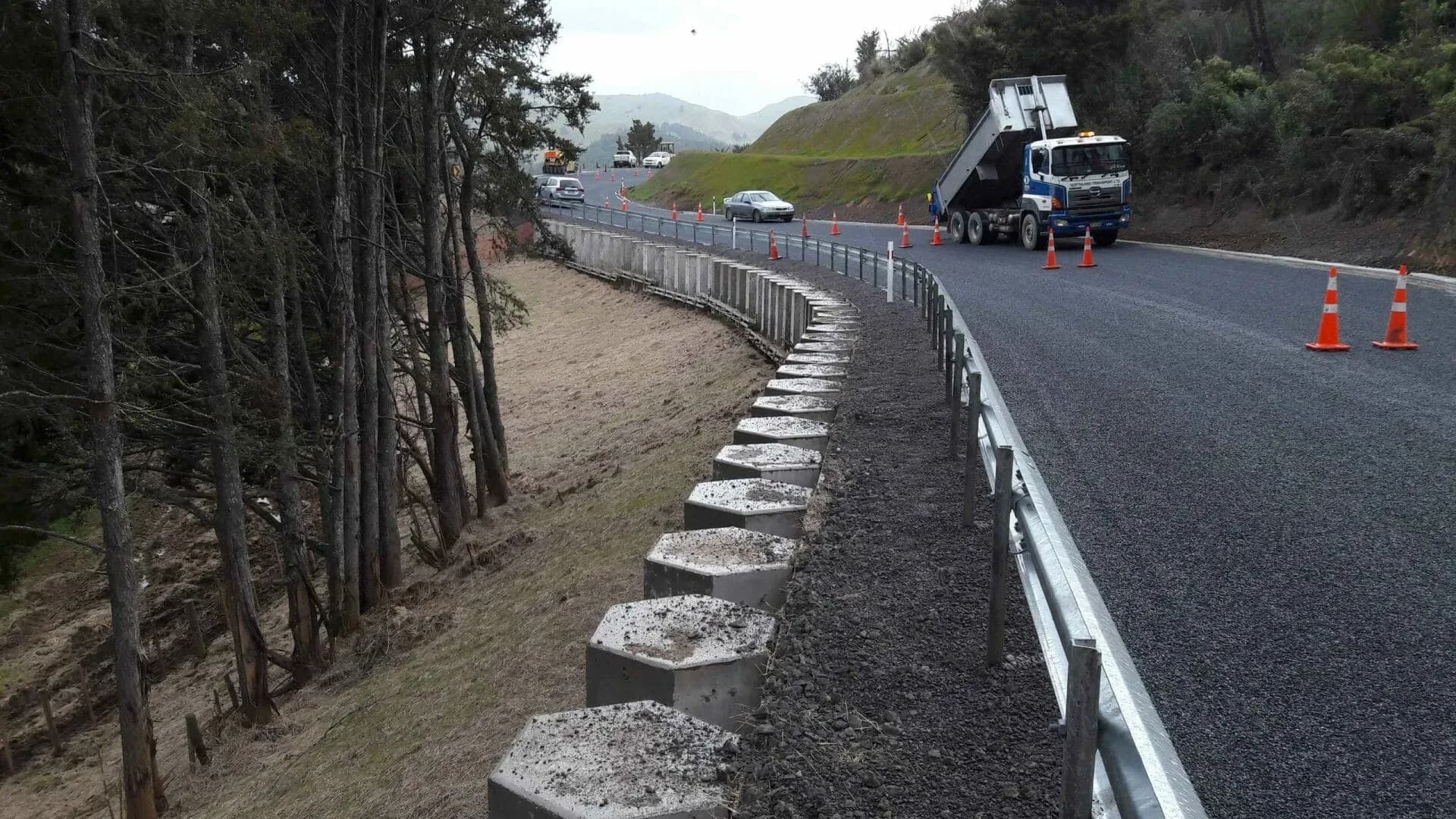
Ensures structures are built on stable ground for long-term load support. Engineers conduct site investigations, analyse bearing capacity, select appropriate foundation types, and design for special conditions like expansive soils and liquefaction potential.
Site Investigation - soil/rock characterisation, groundwater analysis
Load-Bearing Capacity Analysis - bearing capacity calculation, settlement analysis
Foundation Type Selection - shallow/deep foundations
Special Conditions Design - expansive soils, liquefaction potential
Mitigating Ground Movements - slope stability, underground construction
Ground Improvement Techniques - soil stabilisation, grouting/deep mixing
Structural Interaction - load transfer, foundation flexibility
Monitoring and Quality Control - construction oversight, testing
Health and Safety Compliance - hazard management, regulatory compliance
Communication and Reporting - technical documentation, stakeholder collaboration
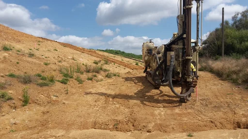
Ground investigation, drilling and engineering geology
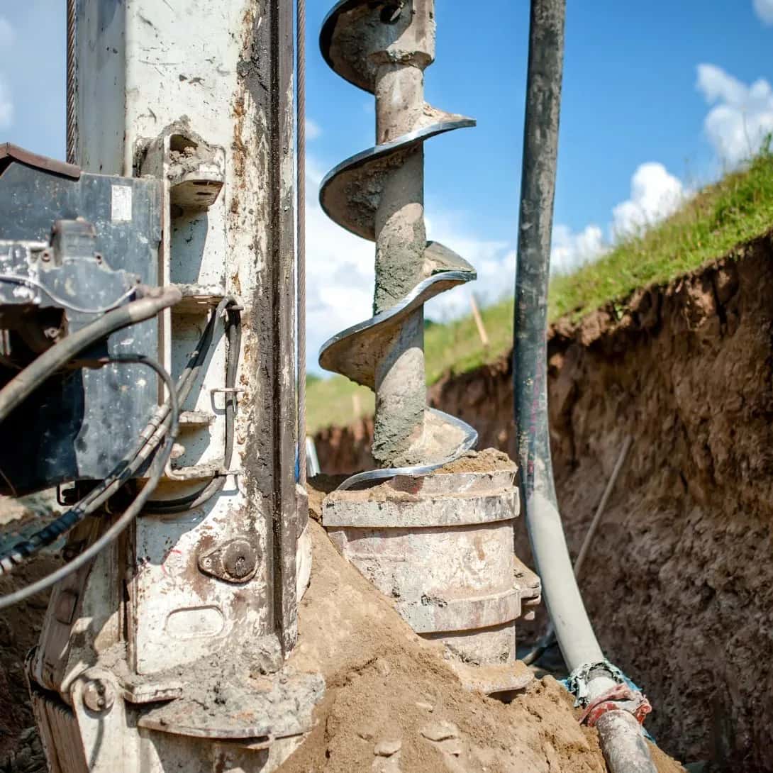
Every geotechnical assessment starts with knowing what is actually in the ground. LDE runs that work with specialist teams in drilling services and engineering geology, alongside our Explore ground investigation, service location and CPT drilling capability, so the people who scope an investigation are the people who interpret it.
Desk studies, site inspection and engineering geological assessment
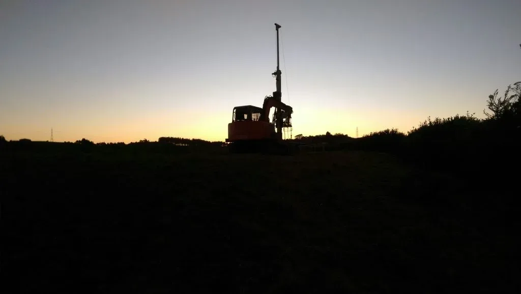
Borehole and hand-auger sampling, and cone penetration testing (CPT)
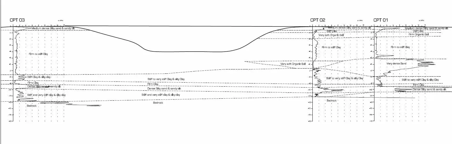
CPT and borehole logging, with results delivered as GIS-ready layers
RTK GPS survey control over investigation locations
Foundation-suitability assessment written to MBIE Building Code requirements
Reporting accepted by territorial authorities for building consent
Scope is set against the question the project has to answer, and pairs with the non-intrusive methods below on sites where digging is the problem rather than the answer.
Geophysics and Non-Intrusive Investigation
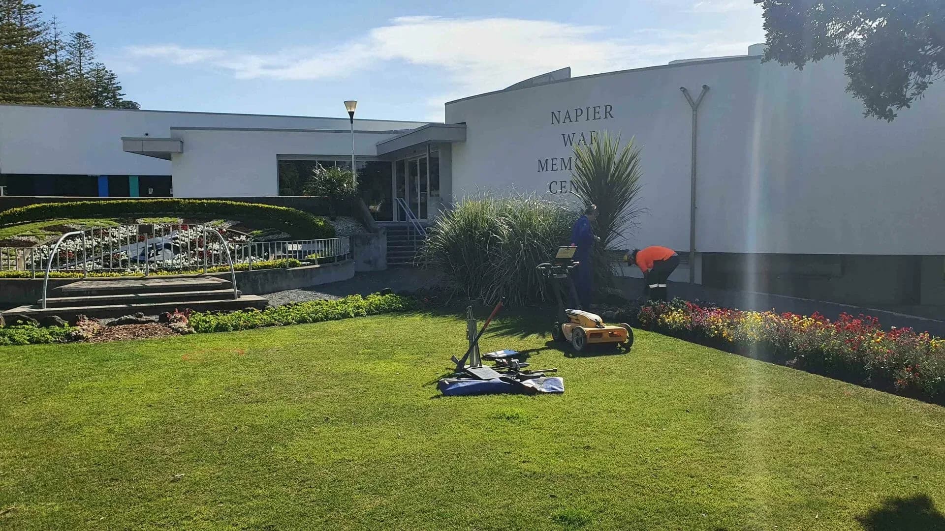
Geophysics lets us see into the ground without digging it up, which matters most on the sites where digging is the problem: live services under a road reserve, a heritage setting, a site where the thing being looked for must not be disturbed. It is a growing capability at LDE and it sits alongside conventional intrusive investigation rather than replacing it, because the two answer different questions and the combination is usually cheaper than either alone.
We have used ground penetrating radar to define the extent of a cemetery affected by flooding, identifying both marked and unmarked graves so that the area needing protection could be established before any intrusive work was scoped. On a proposed building development at Dent Street in Whangārei we combined ground penetrating radar with electromagnetic induction and other geophysical equipment to complete a full underground service location, mapping known and unknown services through the berm, footpath and road reserve and surveying the results into CAD for the design team.
Alongside radar, we run seismic surveying and wireline logging. Seismic refraction and MASW give shear-wave velocity and site subsoil class without a rig on every point; wireline geophysics logs the borehole itself, so a surface survey over a wide area can be calibrated against known strata rather than assumed against them. The pairing is what makes a geophysical survey defensible in a design report.
Ground penetrating radar surveys
Electromagnetic induction and underground service location
Non-intrusive mapping of buried structures and features
Survey-referenced output delivered as CAD for design use
Targeting and scoping of subsequent intrusive investigation
Investigation in heritage, culturally sensitive and service-congested sites
Seismic refraction and MASW surface-wave surveying for shear-wave velocity and site subsoil class
Wireline (borehole) geophysics: downhole logging to tie surface survey results to real strata
Electrical resistivity imaging for groundwater, contamination and buried structure
Magnetometry and EM surveys for buried metal, tanks and archaeology
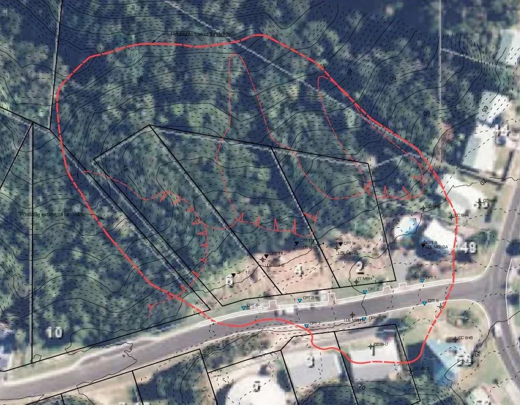
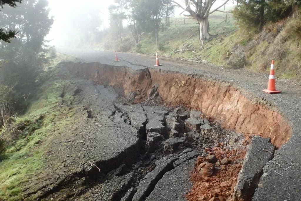
Landslide Remediation
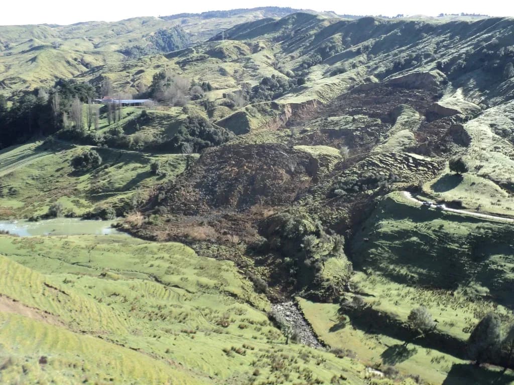
Assesses landslide risk, designs stabilisation solutions, and implements strategies to protect infrastructure and lives.
Site Investigation and Landslide Assessment - geological mapping, subsurface exploration, stability analysis
Design of Remediation Solutions - drainage improvement, slope reinforcement, terracing
Ground Improvement Techniques - grouting, vegetation/erosion control
Monitoring and Instrumentation - landslide monitoring systems, real-time tracking
Environmental and Regulatory Compliance - impact assessment, permitting
Health and Safety Considerations - risk assessment, safe work practices
Collaboration and Communication - multidisciplinary coordination, stakeholder engagement
Long-Term Maintenance and Monitoring - ongoing monitoring, maintenance plans
Documentation and Reporting - technical reporting, post-remediation evaluation
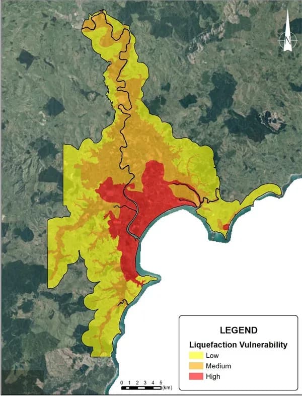
Liquefaction and Lateral Spreading Assessments
Identifies seismic risks in saturated soils and designs mitigation to protect structures during earthquakes.
Site Investigation and Data Collection - soil characterisation, groundwater monitoring, seismic hazard assessment
Liquefaction Potential Analysis - triggering assessment, safety factors, post-liquefaction settlement
Lateral Spreading Analysis - mechanisms assessment, displacement predictions, structural impact
Mitigation Strategies - ground improvement, drainage systems, foundation design adjustments, retaining structures
Monitoring and Early Warning Systems - seismic monitoring, post-earthquake assessment
Environmental and Regulatory Compliance - risk assessment, design code compliance
Collaboration and Communication - multidisciplinary coordination, stakeholder communication
Long-Term Monitoring and Maintenance - ongoing monitoring, mitigation system maintenance
Documentation and Lessons Learned - technical documentation, post-event analysis
Consolidation Settlement Assessments and Solutions
Predicts and manages soil settlement under applied loads, particularly in soft soils, preventing structural damage.
Site Investigation and Soil Characterisation - soil sampling/testing, stratigraphy, groundwater assessment
Settlement Prediction and Analysis - immediate vs. consolidation settlement, calculation, time rate
Assessment of Settlement Impact - differential settlement, structural effects
Mitigation Strategies - preloading, vertical drains, soil stabilisation, compensated foundations, ground improvement
Monitoring and Verification - settlement tracking, performance verification
Foundation Design Considerations - rigid vs. flexible foundations, pile use
Long-Term Maintenance and Monitoring - ongoing monitoring, maintenance plans
Environmental and Regulatory Compliance - environmental impact, permitting
Communication and Stakeholder Engagement - client communication, team coordination
Documentation and Lessons Learned - project documentation, post-construction analysis
Construction Monitoring and Verification
Performs final inspections to confirm work meets design specifications following construction completion.
Performance Evaluation - assessment against safety/performance standards, proof load tests
Long-Term Monitoring and Maintenance - monitoring plans, maintenance recommendations
Environmental Compliance and Safety - environmental monitoring, health/safety oversight
Earthworks Certification
Ensures earthworks meet design specifications, safety standards, and regulatory requirements.
Pre-Construction Planning - design review, certification criteria establishment
Site Preparation Oversight - initial inspection, clearing/grubbing
Monitoring of Earthworks Operations - excavation/fill oversight, compaction monitoring, material quality control
Slope Stability and Erosion Control - slope construction verification, erosion control oversight
Drainage and Groundwater Management - drainage installation, groundwater control
Verification Testing and Inspection - field testing, compliance inspections
Documentation and Reporting - daily logs, final certification report
Post-Construction Monitoring and Maintenance - ongoing monitoring, maintenance recommendations
Environmental Compliance - environmental impact assessment, sustainable practices
Communication and Stakeholder Coordination - contractor coordination, client/regulatory communication
Risk Management and Safety - hazard identification, health/safety compliance
Final Certification and Handover - certification approval, site transfer
Documentation and Lessons Learned - record keeping, post-project review
Seismic Displacements Assessment and Design
Focuses on anticipated movements during seismic events and designs structures to accommodate them safely.
Seismic Hazard Assessment - risk analysis, ground motion analysis
Characterisation of Soil and Ground Conditions - soil profile/properties, liquefaction potential, slope stability
Assessment of Seismic Displacements - ground deformation modelling, nonlinear site response analysis, foundation displacement
Displacement-Based Design Approach - design displacement targets, capacity design, performance-based design
Mitigation and Design Solutions - foundation design, ground improvement, slope stabilisation
Seismic Displacement Monitoring and Instrumentation - monitoring systems, post-event assessment
Communication and Collaboration - interdisciplinary coordination, stakeholder communication
Regulatory Compliance and Documentation - design code compliance, technical documentation
Long-Term Monitoring and Maintenance - ongoing monitoring plans, maintenance strategies
Post-Event Evaluation and Learning - performance evaluation, lessons learned documentation
Tsunami Resilient Foundation and Building Design
Ensures structures withstand tsunami forces while maintaining integrity and reducing damage.
Tsunami Hazard Assessment - site-specific risk analysis, inundation mapping
Site Characterisation and Soil Assessment - soil stability analysis, groundwater/saturation assessment
Foundation Design for Tsunami Resilience - elevated foundations, deep foundations, scour/erosion resistance
Structural Design Considerations - open ground floors, hydrodynamic load resistance, anchoring/uplift resistance
Design for Debris Impact - debris load analysis, deflection structures
Erosion and Scour Protection - scour protection, erosion control
Tsunami-Resilient Infrastructure Design - lifeline protection, utility protection
Monitoring and Early Warning Systems - instrumentation, early warning integration
Regulatory Compliance and Design Standards - building code compliance, documentation
Post-Tsunami Evaluation and Recovery - structural assessment, design improvements
Community and Stakeholder Engagement - risk communication, urban planner collaboration
Long-Term Monitoring and Maintenance - regular inspections, coastal change monitoring
Cut and Fill Design and Specifications
Ensures earth structures are stable, safe, and suitable for their intended purpose.
Site Investigation - soil/rock analysis, subsurface condition assessment
Designing Stable Slopes - slope stability analysis, erosion control
Material Suitability - fill material evaluation, compaction requirements
Foundation Design - bearing capacity assessment, differential settlement mitigation
Drainage Design - groundwater control, surface water management
Risk Management and Safety - hazard identification, monitoring/quality control
Environmental and Regulatory Compliance - erosion/sediment control, sustainable practices
Consultation and Collaboration - engineer coordination, client communication
Slope Stabilisation and Retaining Structures
Prevents landslides, erosion, and structural failures through slope stabilisation and retaining structure design.
Site Investigation and Soil Characterisation - geotechnical assessment, slope stability analysis
Identification of Slope Instability Issues - erosion/weathering, seismic loading, water infiltration
Slope Stabilisation Techniques - grading/reshaping, soil reinforcement/vegetation, retaining walls
Retaining Structure Design - gravity/cantilever walls, anchored/MSE walls, sheet pile walls
Drainage and Water Management - surface/subsurface drainage, weep holes/drainage layers
Monitoring and Instrumentation - slope monitoring systems, retaining wall monitoring
Construction Oversight and Quality Control - construction supervision, quality control testing
Environmental Considerations - environmental impact minimisation, erosion/sediment control
Post-Construction Monitoring and Maintenance - ongoing monitoring, maintenance recommendations
Regulatory Compliance and Documentation - building code compliance, technical reporting
Emergency Response and Remediation - landslide response, remediation design
Community and Stakeholder Engagement - risk communication, interdisciplinary collaboration
Palisade/Soldier Pile Wall Design
Ensures retaining structures support soil and resist lateral pressures in deep excavations or limited spaces.
Site Investigation and Soil Characterisation - subsurface investigation, soil profile analysis
Determination of Design Loads - lateral earth pressure calculation, surcharge load accounting
Structural Design of Soldier Piles - pile material/spacing selection, embedment depth calculation
Lagging Design and Installation - material selection, staged installation
Anchoring and Tiebacks - anchor design/capacity, installation verification
Water Management and Drainage - groundwater control, seepage control
Slope and Global Stability Analysis - global stability checking
Construction Monitoring and Quality Control - construction supervision, quality assurance testing
Environmental and Aesthetic Considerations - impact minimisation, aesthetic design
Post-Construction Monitoring and Maintenance - long-term monitoring, maintenance plans
Documentation and Regulatory Compliance - design documentation, code compliance
Emergency Response and Remediation - distress response, wall improvement
Collaboration with Other Disciplines - interdisciplinary coordination
Ground Improvement Design
Enhances soil properties to support construction when natural soil is insufficient.
Site Investigation and Soil Characterisation - subsurface investigation, soil property evaluation
Assessment of Soil Deficiencies - load-bearing capacity, settlement/liquefaction risk
Selection of Ground Improvement Techniques - vibro-compaction, stone columns, dynamic compaction, preloading, soil mixing/grouting, geosynthetics
Design and Analysis - load distribution/stress analysis, settlement prediction, slope stability
Construction Monitoring and Quality Control - improvement monitoring, quality control testing
Environmental and Sustainability Considerations - environmental impact minimisation, sustainable practices
Drainage and Groundwater Management - drainage design, groundwater monitoring
Regulatory Compliance and Documentation - design documentation, code compliance
Long-Term Performance Monitoring and Maintenance - post-improvement monitoring, maintenance recommendations
Risk Management and Contingency Planning - risk assessment, contingency plan development
Community and Stakeholder Engagement - stakeholder communication, public consultation
Innovation and Research - technology adoption, research/development
Earthquake Damage Assessments
Evaluates seismic event impacts on structures and infrastructure to understand damage, identify causes, and suggest repairs.
Initial Damage Survey - site inspection, damage documentation
Assessment of Ground Conditions - liquefaction evaluation, landslide/deformation assessment
Structural Damage Assessment - foundation/retaining structure inspection, infrastructure integrity
Damage Classification and Mapping - damage classification, geotechnical hazard mapping
Instrumentation and Monitoring - post-earthquake monitoring, data analysis
Detailed Engineering Analysis - seismic response reassessment, liquefaction reassessment
Cause Determination and Failure Analysis - root cause analysis, failure mechanism investigation
Risk Assessment and Safety Evaluation - safety determination, seismic vulnerability reassessment
Remediation and Mitigation Recommendations - repair recommendations, rebuilding guidance
Reporting and Documentation - damage reports, insurance documentation
Community and Stakeholder Engagement - stakeholder communication, public education
Regulatory Compliance and Policy Recommendations - code review, policy advice
Long-Term Recovery and Resilience Planning - recovery plan contribution, resilience strategies
Working with a geotechnical consultant
Anyone comparing geotechnical engineering companies is really asking one question: will this report answer what I need, or will it raise three more problems and leave me to solve them. Geotechnics sits between the ground and the structure, so we keep the two together. The engineer who interprets the borehole logs is the engineer who signs the foundation recommendations.
Our team pairs chartered geotechnical engineers with engineering geologists. The geologist builds the ground model from the field data and the engineer designs against it, which keeps interpretation and design in one conversation instead of two. Where a site needs civil, structural or environmental input as well, that sits in the same building.
Worth asking any of the geotechnical consultants or engineering firms you approach:
Who writes the report, and are they chartered?
Does an engineering geologist review the ground model before design starts?
Will the recommendations satisfy your council at building consent?
Who picks up the phone when the contractor hits something unexpected?
Common questions about investigation and reports
Which investigation method does my site need?
It depends on the ground and on the decision the work has to support. A cone gives a continuous profile and suits soft, layered ground; drilling recovers material and gets through gravel or rock; a test pit shows the ground in section for shallow work. Most sites use more than one. Geotechnical investigation sets out what each method measures and when it is the right choice.
What does a geotechnical report cost?
Access and the amount of uncertainty the project can carry drive the fee more than the size of the building does. LDE quotes per site rather than from a rate sheet, because the same house on two sections a few hundred metres apart can need materially different work. Geotechnical reports and what drives the cost explains what is in a report and what moves the price.
Can you investigate without disturbing the site?
Partly. A cone leaves no spoil and has a small footprint, and non-intrusive methods cover ground that cannot be broken open at all. See geophysics for those, and note that they complement intrusive work rather than replacing it.
.webp&w=2048&q=75)
.webp&w=2048&q=75)