
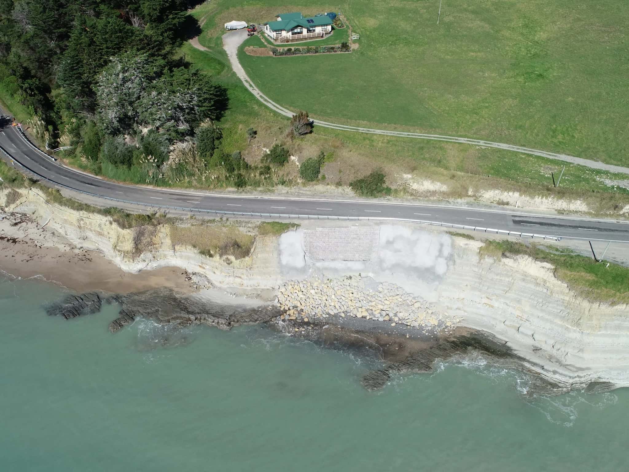
Geotechnical Engineering in Napier
Napier sits on some of the most demanding ground in the country. The 1931 Hawke’s Bay earthquake reshaped the city and lifted the Ahuriri area, and the reclaimed flats around the port stay liquefaction-prone today.
LDE’s Napier geotechnical engineers work with these conditions every day, combining site investigation, liquefaction assessment and foundation design to keep homes, commercial buildings and infrastructure safe on Heretaunga Plains alluvium and coastal land. Our Chartered Professional Engineers pair local ground knowledge with the wider LDE network, so Hawke’s Bay clients get practical, cost-effective advice that meets the New Zealand Building Code.
Whether you are planning a new build in Ahuriri, strengthening an existing structure, or weighing flood and seismic risk on the plains, we turn complex ground into clear, buildable design.
Send a Message
Enquire about your Napier project
How our Napier team delivers geotechnical engineering
Hawke’s Bay combines high seismic hazard with soft, water-rich ground, so getting the geotechnical model right is the difference between a straightforward consent and an expensive redesign. Our Napier engineers start with targeted site investigation, then build foundation and ground-improvement solutions that suit the plains, the hill suburbs and the reclaimed land around Ahuriri.
The work sits alongside our geotechnical engineering capability nationally and our water and flood-protection experience across the region, which matters on a coastline shaped by stopbanks and drainage.
Investigation on the plains usually means machine boreholes, and we scope the drilling to the question rather than to a standard depth, because a shallow hole on deep alluvium answers nothing.
- Liquefaction and lateral-spreading assessment on coastal and reclaimed ground
- Foundation investigation and design for residential, commercial and industrial builds
- Seismic displacement assessment and ground improvement for soft soils
- Slope stability and retaining design in the hill suburbs
Ground conditions and consenting in Hawke’s Bay
Development on the Heretaunga Plains is shaped by flood management and seismic design as much as by the ground itself. We align investigations and reporting with Hawke's Bay Regional Council hazard information and Napier City Council consent requirements, and design to recognised national guidance.
- MBIE geotechnical guidance under Building Code clause B1
- New Zealand Geotechnical Society practice guidance
- Natural Hazards Commission Toka Tū Ake research on liquefaction and land damage
Seismic surveying and wireline geophysics in Hawke’s Bay
Site subsoil class drives the seismic design of almost every building in Hawke’s Bay, and on the Heretaunga Plains it cannot be assumed from a map. A shear-wave velocity profile measured on the site is the defensible way to establish it.
- MASW and seismic refraction surveys to establish site subsoil class to NZS 1170.5
- Wireline (downhole) geophysics tying velocity profiles to logged borehole strata
- Gravel, silt and liquefiable layer mapping across a site footprint
- Electrical resistivity imaging for groundwater and buried features
- Ground penetrating radar for services, voids and heritage-sensitive ground
The survey is scoped against what the consent and the structural design actually need, and is interpreted alongside the CPT and borehole record rather than in isolation.
Seismic surveying and wireline work in Hawke's Bay is delivered by the same team. Full method detail (seismic refraction, MASW, downhole logging, resistivity and radar) is on our geophysics page.
Recent geotechnical work across Hawke’s Bay
Our Hawke’s Bay portfolio spans heritage, energy and flood resilience, including the Napier War Memorial restoration, geotechnical assessments for the Harapaki Wind Farm, and stopbank and flood-protection work on the plains. We also deliver contaminated-land investigations, such as our assessments at a Hastings site.
Geotechnical consultants in Hawke’s Bay
Hawke’s Bay ground is not uniform. The Heretaunga Plains bring deep alluvium and a shallow water table, the Napier hill suburbs bring cut batters and fill of uncertain age, and Ahuriri sits on reclaimed land. Which of those you are building on changes the investigation before it changes the design.
Our Napier team works as geotechnical consultants across all three. An engineering geologist logs the ground and builds the model, a chartered engineer designs against it, and any retaining wall or foundation recommendation comes out of that same conversation. Geotechnics is why a straightforward-looking site sometimes needs a second round of boreholes, and we would rather raise that at scoping than at consent.
If you are ringing round geotechnical engineering companies or engineering firms for a site here, the question worth asking is who will actually be on the ground, and whether the person writing the report is the consultant who visited.
Common questions about geotechnical engineering in Hawke’s Bay
Do I need a geotechnical report to build in Napier?
Most new builds and subdivisions in Napier need a geotechnical assessment to satisfy the New Zealand Building Code and Napier City Council, particularly on the liquefaction-prone flats around Ahuriri and the port. We scope the investigation to your site and the proposed structure.
How does liquefaction risk affect foundations on the Heretaunga Plains?
On the saturated alluvium of the plains and reclaimed coastal land, liquefaction and lateral spreading can damage shallow foundations during an earthquake. We quantify the risk and design foundations or ground improvement to manage it.
Who carries out LDE’s geotechnical work in Napier?
Our Napier projects are led by Chartered Professional Engineers from our team, backed by the wider LDE geotechnical network across New Zealand and Australia.
How long does a geotechnical investigation take in Napier?
It depends on the site and the testing required, but a typical residential investigation in Napier runs over two to four weeks: a site visit, boreholes or test pits, laboratory testing and a report. We set a clear scope and programme up front so the geotechnical stage does not hold up your consent or construction.


Hawke's Bay
Recent projects in Hawke's Bay
.webp&w=2048&q=60)
Mix'd Cocktail Bar Alterations
Simkin Construction Ltd
Napier
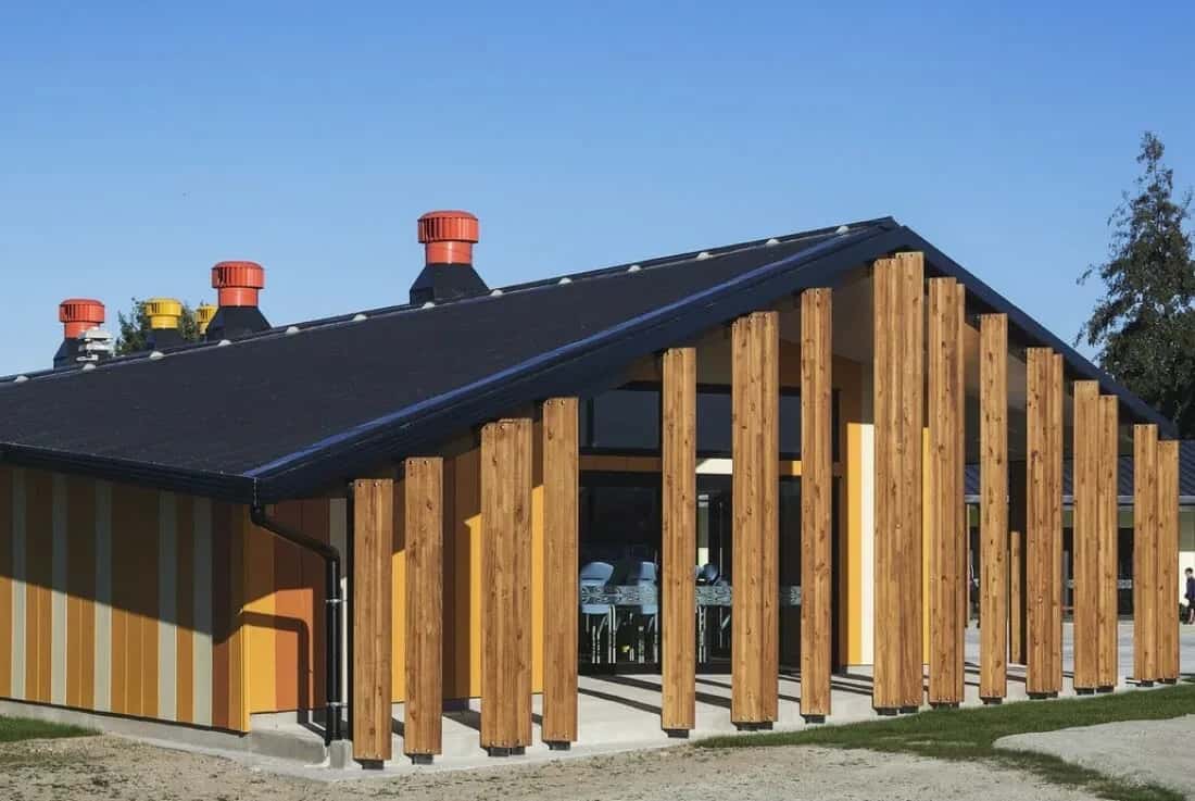
TKKM o Ngati Kahungunu School

Napier Heritage Building Seismic Strengthening and Restoration
Napier
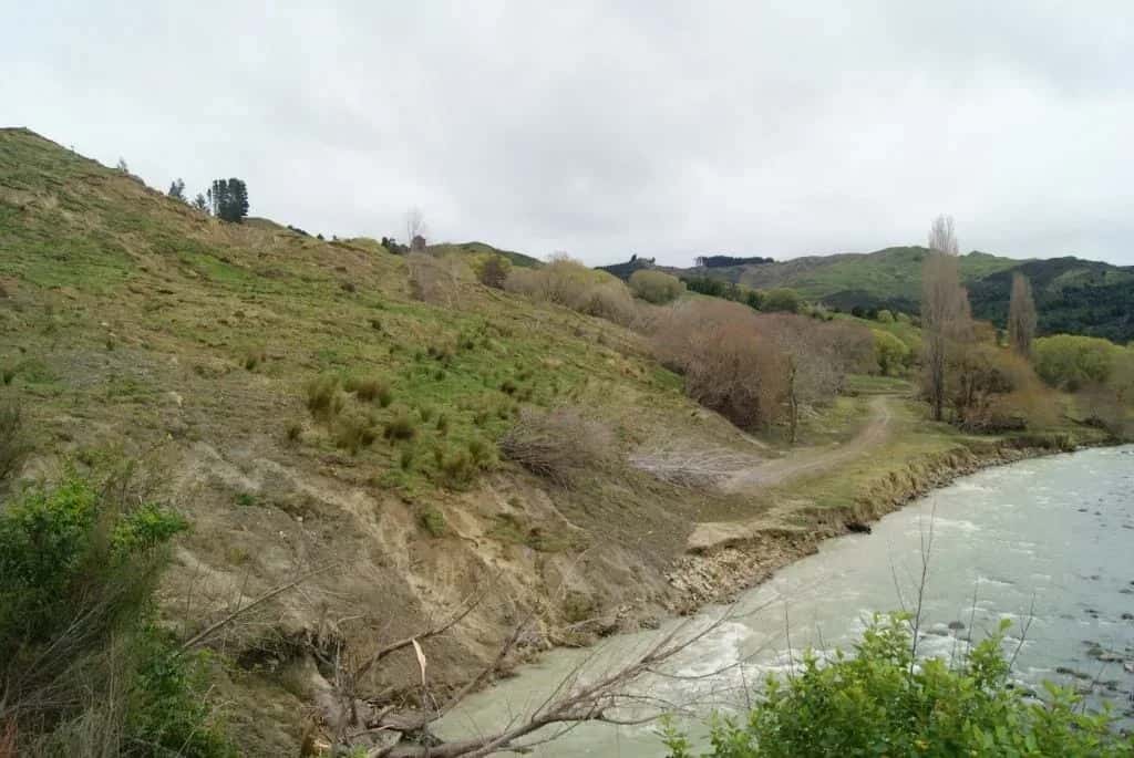
Nuhaka River Road Landslide
Nuhaka
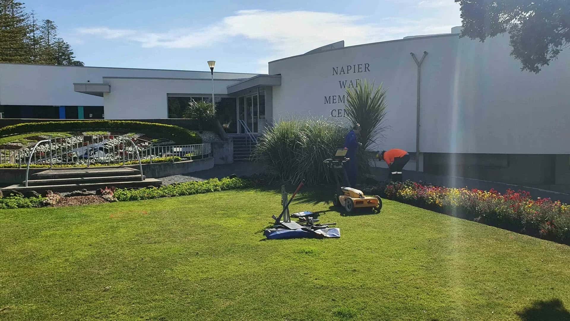
Napier War Memorial Restoration
Napier City Council c/- Designgroup Stapleton Elliot
Marine Parade, Napier
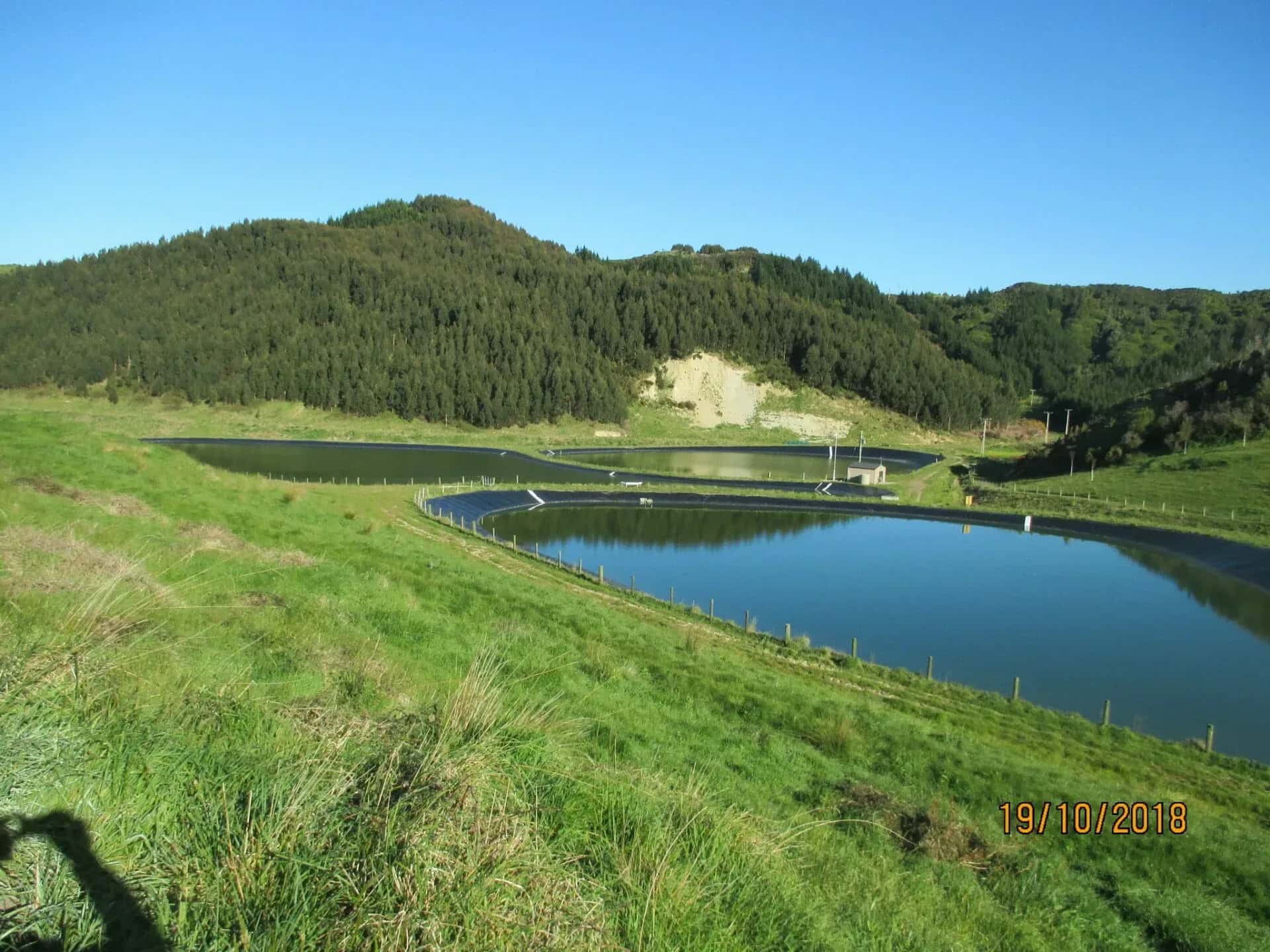
Mahia Wastewater Treatment Ponds
Mahia