
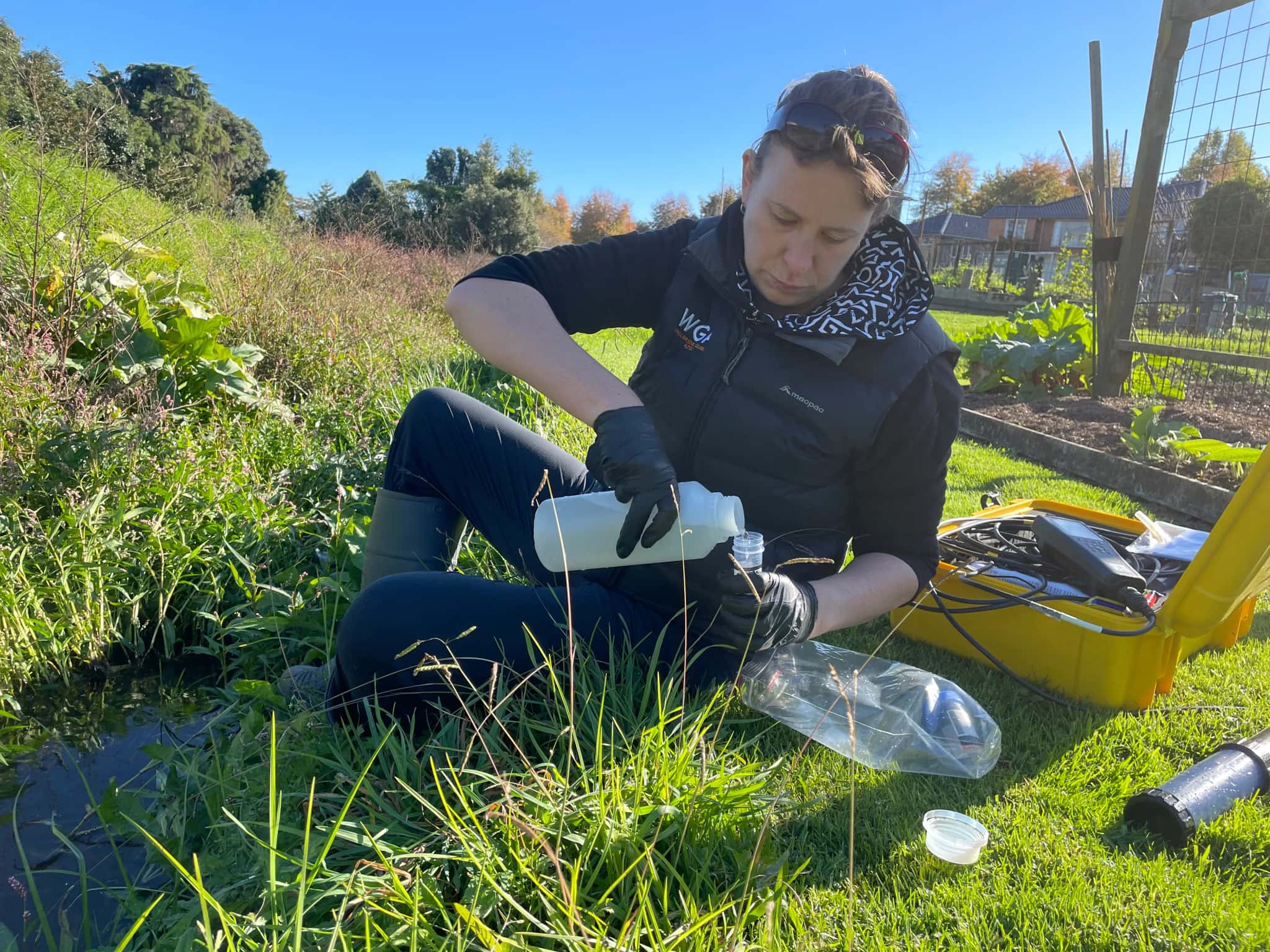
Hydrogeology in Napier
The Heretaunga aquifer system is one of the most important groundwater resources in New Zealand, supplying Napier and Hastings, irrigating the Hawke’s Bay plains and sustaining the rivers and springs that depend on it. Hydrogeology is the science of understanding that system: how the Ngaruroro and other rivers recharge it, how water moves through the layered gravels, and how heavy demand and climate variability affect its security.
LDE provides hydrogeology across Hawke’s Bay, characterising the Heretaunga aquifer, building conceptual and numerical groundwater models, and assessing recharge, sustainable yield and the technical questions around water security and managed aquifer recharge. We design and interpret aquifer tests, study groundwater quality and saline intrusion near the coast, and give the council, growers and communities the understanding they need to manage a system under pressure.
This is groundwater investigation and assessment, distinct from abstraction or reticulation engineering, and it supports the careful stewardship the Heretaunga system demands. Talk to our Napier team about your next project.
Send a Message
Enquire about your Napier project
How our Napier team delivers hydrogeology
The Heretaunga aquifer is a large, layered gravel system recharged by the rivers and drawn on across Hawke’s Bay, so understanding recharge, flow and the connection to surface water is the heart of the work. Our team characterises the aquifer, builds conceptual and numerical models, and assesses sustainable yield and the security of supply through dry years. We also look at the technical side of managed aquifer recharge and at saline intrusion near the coast, so the wider water-security conversation rests on sound groundwater science.
The work sits alongside our national hydrogeology capability and our water and natural resources experience across a region where groundwater underpins the economy.
- Characterisation of the layered Heretaunga aquifer system
- Conceptual and numerical groundwater flow models
- Recharge, sustainable-yield and water-security assessment
- Technical support for managed aquifer recharge and saline-intrusion studies
Aquifers and water management in Hawke’s Bay
Groundwater allocation, monitoring and the surface-water connection across the Heretaunga system are managed under Hawke's Bay Regional Council regional plans, which set limits and standards for the aquifer. We frame our investigations, models and reporting to suit that framework and national freshwater direction.
- Ministry for the Environment national direction on freshwater management
- Water New Zealand good-practice guidance for groundwater resources
LDE hydrogeology in Hawke’s Bay
LDE provides hydrogeology across Hawke’s Bay, from characterisation and modelling of the Heretaunga aquifer to recharge, yield and water-security assessment for the region. With the aquifer under real pressure from demand and climate variability, much of our work is about quantifying what the system can sustain and supporting the technical questions around managed aquifer recharge and security of supply. You can see more of our regional water delivery on the projects page.
Common questions about hydrogeology in Hawke’s Bay
Why is the Heretaunga aquifer system so significant?
It supplies Napier and Hastings, irrigates the plains, and feeds rivers and springs, all from a layered gravel aquifer recharged by the rivers. Because so much depends on it and demand is high, understanding its recharge, sustainable yield and security is one of the most important groundwater questions in the country.
What does hydrogeology contribute to water security here?
Water security rests on knowing what the aquifer can reliably provide and how it behaves in dry years. We characterise and model the Heretaunga system and assess sustainable yield, which gives the technical foundation for water-security planning and for options such as managed aquifer recharge.
Who carries out LDE’s hydrogeology in Napier?
Our Hawke’s Bay groundwater work is led by hydrogeologists and Chartered Professional Engineers from our team, backed by the wider LDE network across New Zealand and Australia.
Can LDE provide the groundwater science behind managed aquifer recharge?
Yes. Managed aquifer recharge relies on understanding how the aquifer stores and moves water, so we characterise and model the Heretaunga system and assess how recharge would behave. We provide that technical groundwater science to inform a managed aquifer recharge proposal, rather than delivering the recharge scheme itself.


Hawke's Bay
Recent projects in Hawke's Bay
.webp&w=2048&q=60)
Mix'd Cocktail Bar Alterations
Simkin Construction Ltd
Napier
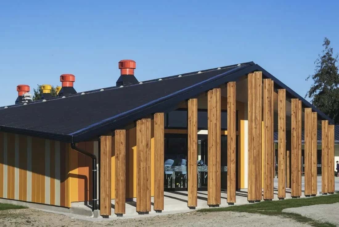
TKKM o Ngati Kahungunu School

Napier Heritage Building Seismic Strengthening and Restoration
Napier
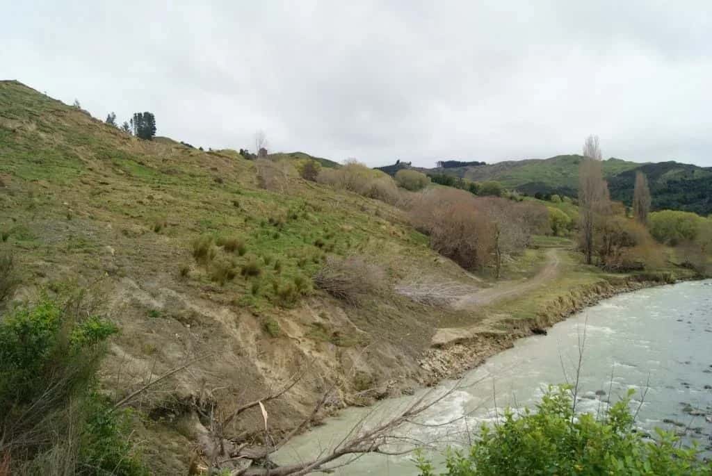
Nuhaka River Road Landslide
Nuhaka
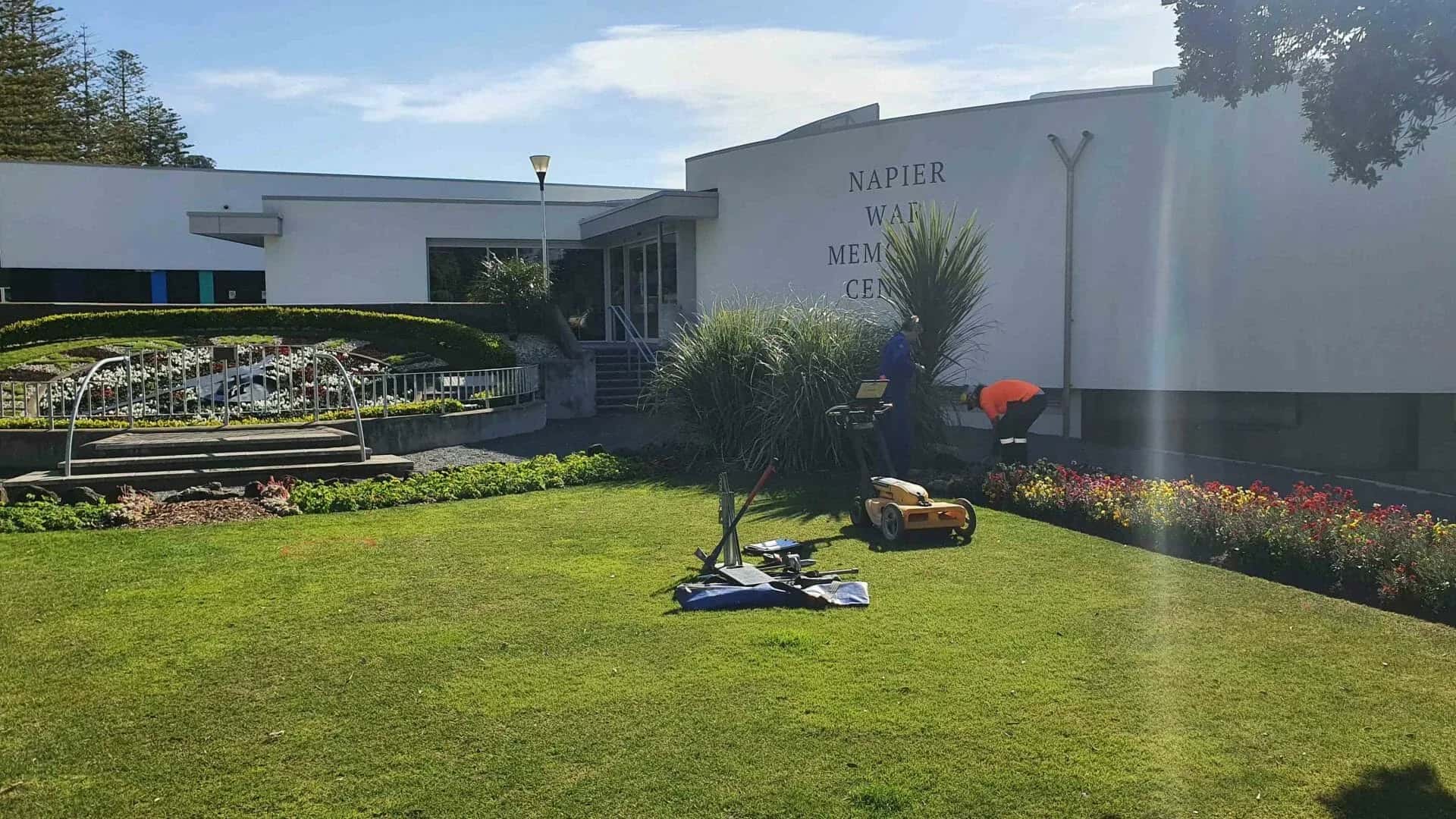
Napier War Memorial Restoration
Napier City Council c/- Designgroup Stapleton Elliot
Marine Parade, Napier
Mahia Wastewater Treatment Ponds
Mahia