Experience
Hazard identification and assessment
Effective hazard management starts with understanding what could affect a site and how significant it might be. LDE identifies the natural hazards relevant to a location and assesses their likelihood and potential consequences, drawing on site investigations, available data and established assessment methods. We tailor the level of assessment to the stage and scale of the project, from high-level screening for early feasibility through to detailed technical assessment for design and consenting.
Desktop review of hazard information and historical records
Site investigation and field assessment
Screening and scoping of the natural hazards relevant to a site
Detailed hazard assessment to support design and consenting
Hazard assessment reporting for councils and stakeholders
Flood and coastal hazards
Water-related hazards are among the most common constraints on land development. LDE assesses flooding and coastal processes and their implications for how a site can be used, designed and protected, considering both present-day conditions and the effects of a changing climate.
River, surface water and stormwater flood assessment
Floodplain and flood hazard mapping
Coastal inundation, erosion and shoreline processes
Assessment of climate change and sea level rise effects
Advice on freeboard, setbacks and flood mitigation measures
Seismic and geotechnical hazards
Ground conditions and seismic activity can present significant hazards for buildings, earthworks and infrastructure. LDE assesses the geotechnical and seismic hazards affecting a site and advises on how they can be managed through appropriate siting, design and construction.
Assessment of ground shaking and seismic hazard
Liquefaction and lateral spreading assessment
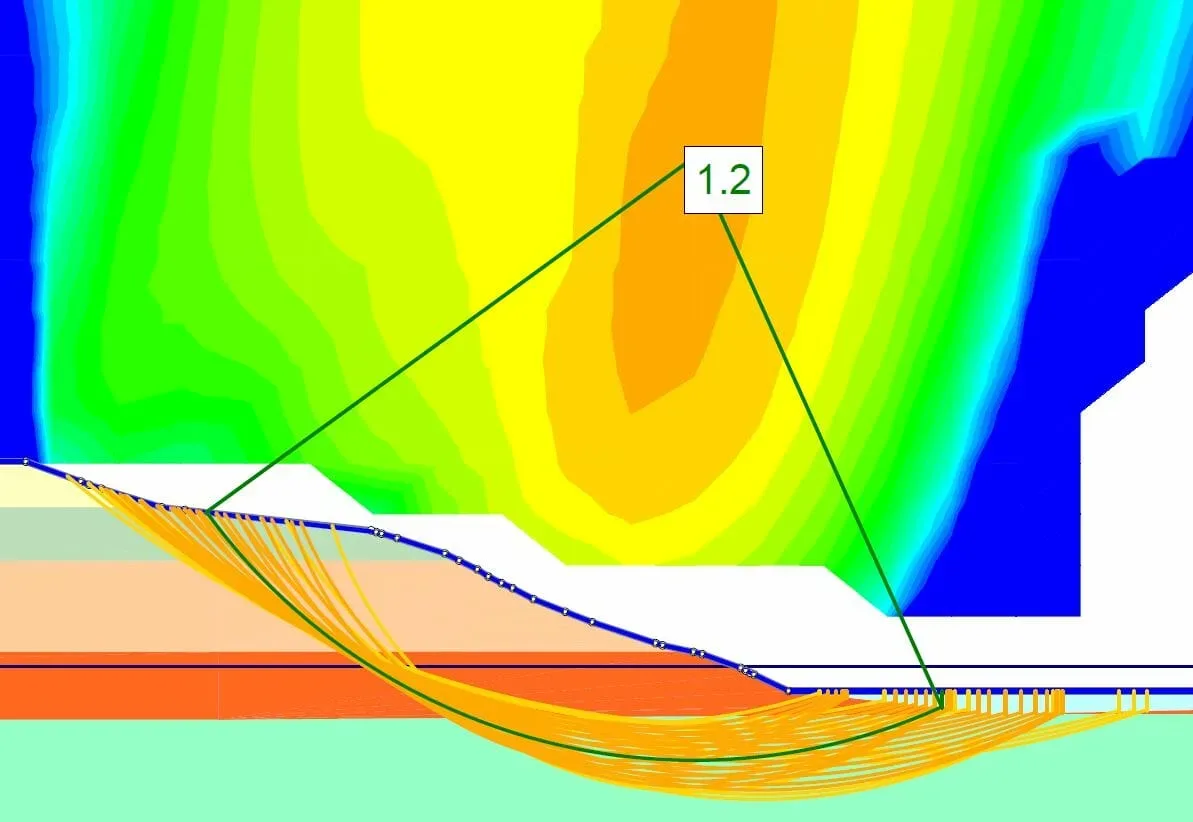
Slope stability and land instability assessment
Fault avoidance and ground deformation considerations
Geotechnical advice for earthworks, foundations and infrastructure
Risk assessment and mitigation advice
Identifying a hazard is only part of the picture. LDE assesses the level of risk that hazards pose to people, property and infrastructure, and works with clients to develop practical, proportionate ways to avoid, reduce or manage that risk over the life of a development.
Assessment of risk to people, property and infrastructure
Options for avoiding, reducing or managing hazard risk
Integration of hazard management into site layout and design
Support for resource consent applications and hazard reporting
Advice on monitoring, maintenance and long-term resilience
Experience across New Zealand
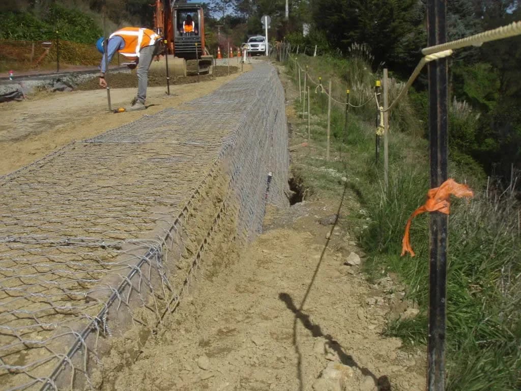
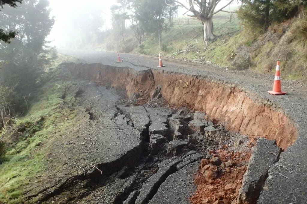
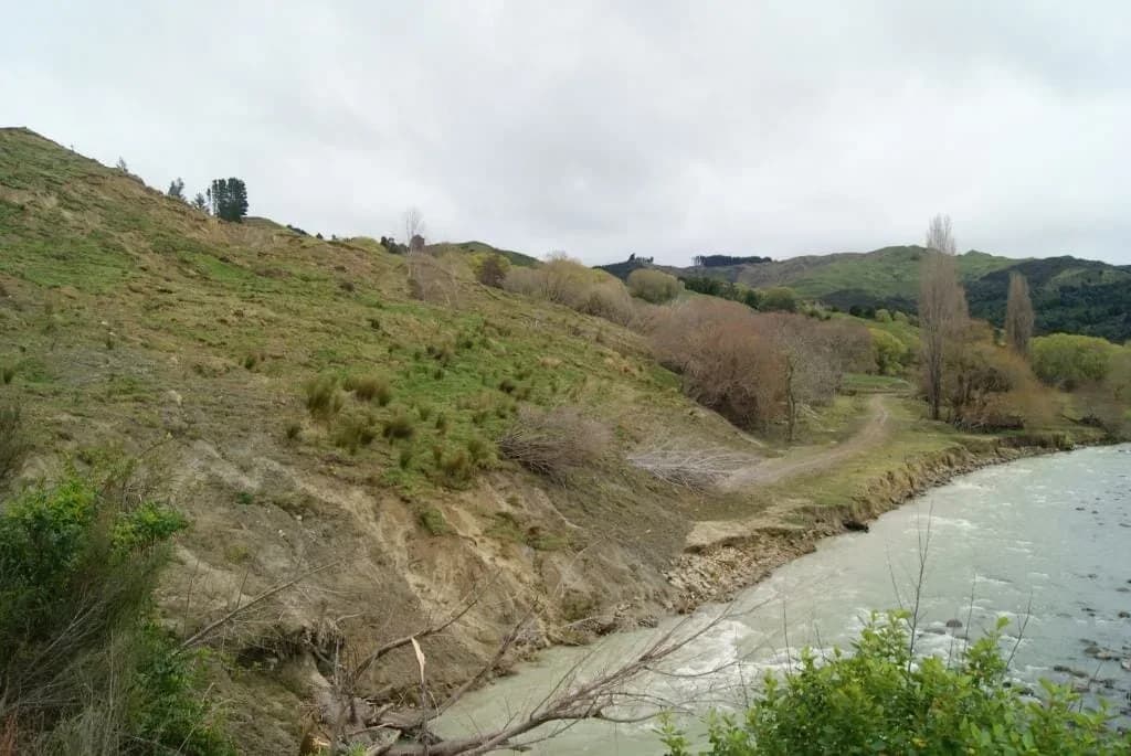
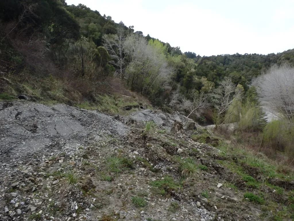
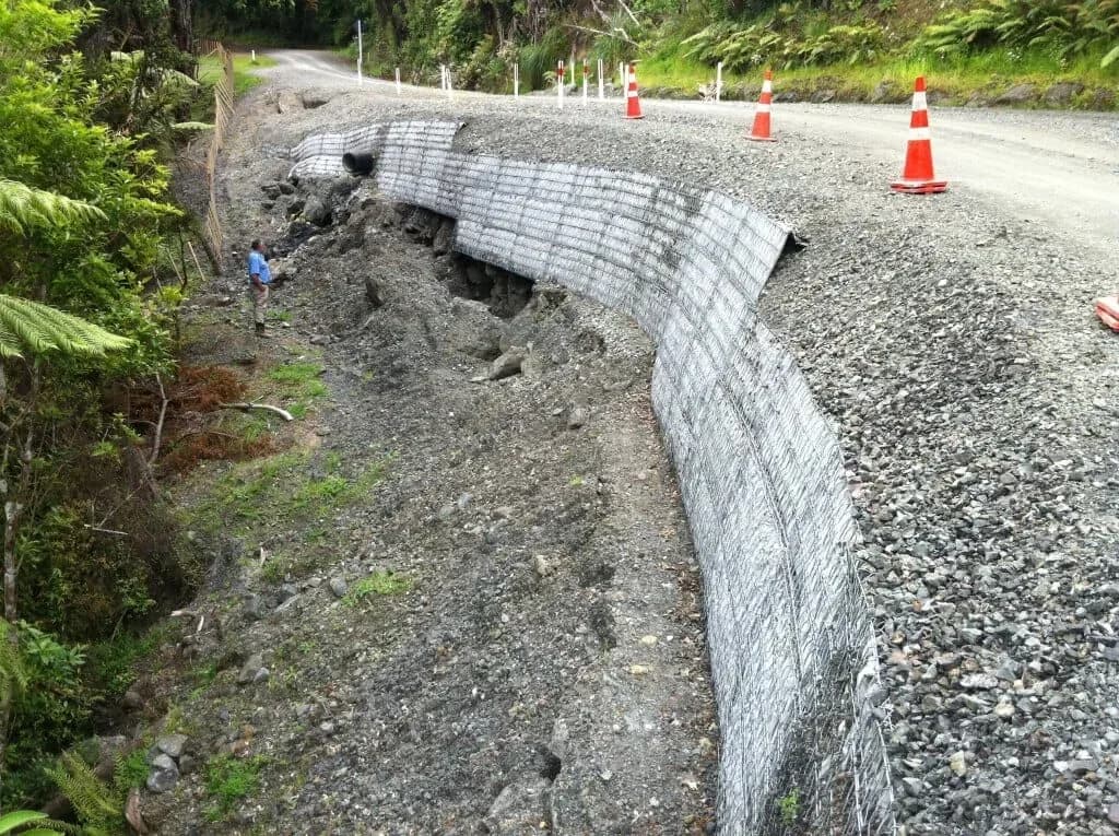
This is work our teams have done in the field, often in the weeks immediately after an event. Following Cyclone Gabrielle in February 2023 we moved from voluntary emergency response into urgent technical support alongside Hawke’s Bay Regional Council, remediating two stopbank breaches at Maraenui on the Heretaunga Plains within a month and reinstating flood protection to a one-in-one-hundred-year standard. In Northland, a team of eight assessed 380 landslides across the Far North District Council roading network after a major rainfall event, investigating more than 100 in detail and providing remedial designs.
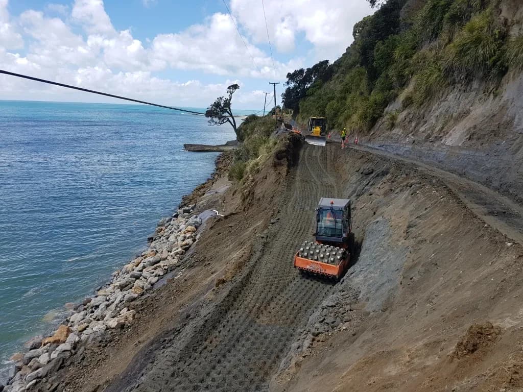
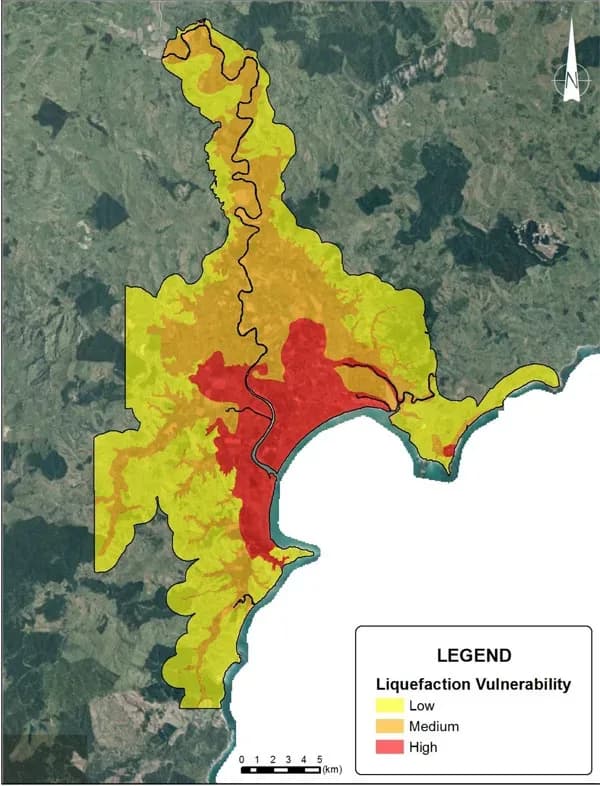
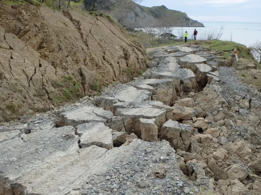
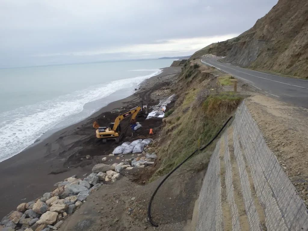
Our hazard mapping work sits alongside the response work. We provided the technical input for the liquefaction potential map covering Gisborne and the Poverty Bay Flats, which councils use to set the level of geotechnical assessment a site requires, and we carried out lateral spread mapping and geological modelling across Christchurch and Kaiapoi after the 2011 earthquakes. On the coast, we designed erosion protection at Blacks Beach in Hawke’s Bay and the revetment sections along East Cape Road at Te Araroa for Tairāwhiti Roads.
Emergency stopbank remediation after Cyclone Gabrielle, Heretaunga Plains
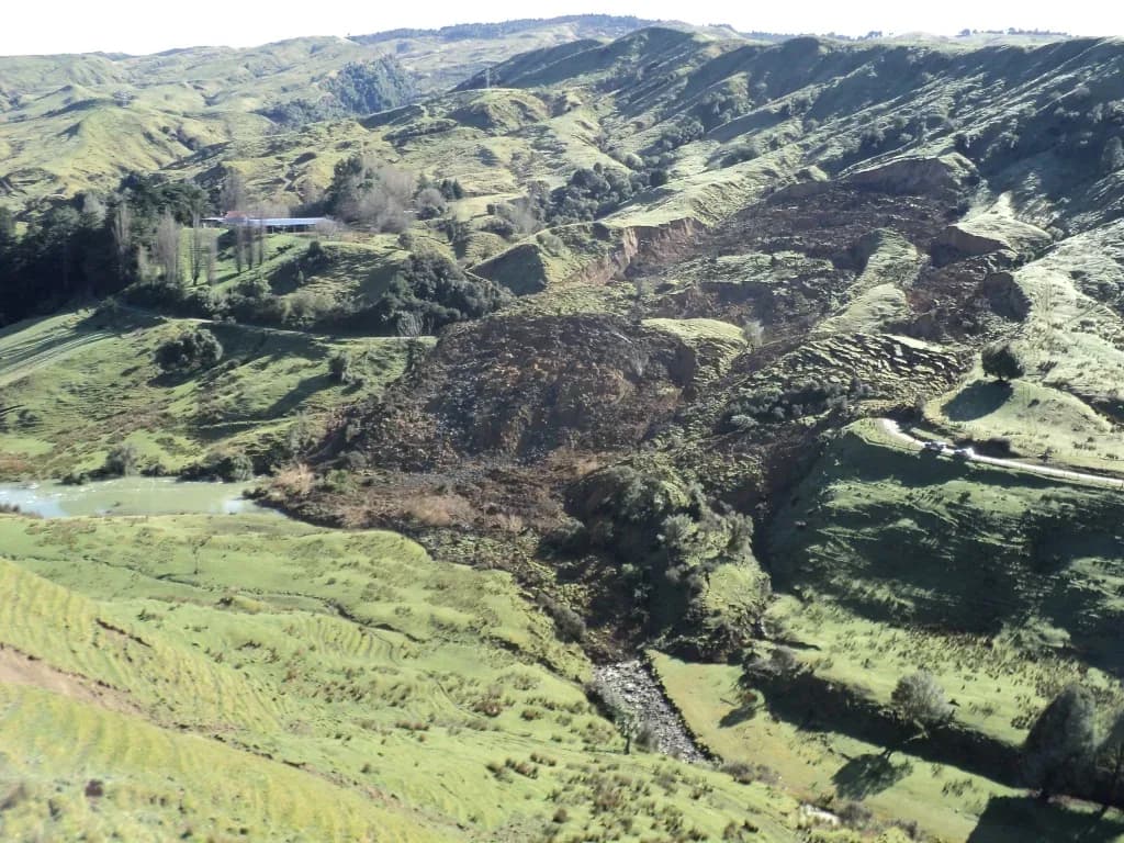
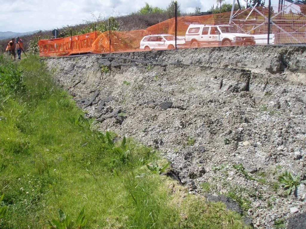
380 landslide assessments across the Far North roading network
Liquefaction potential mapping, Gisborne and the Poverty Bay Flats
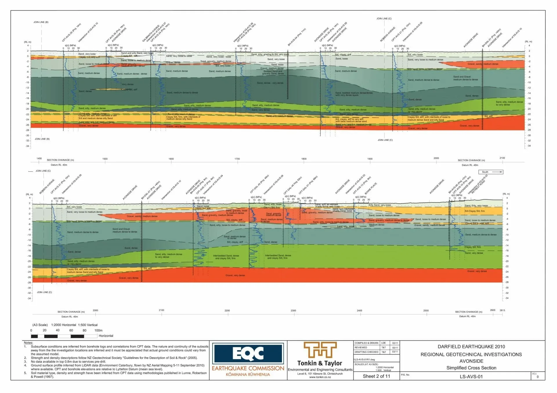
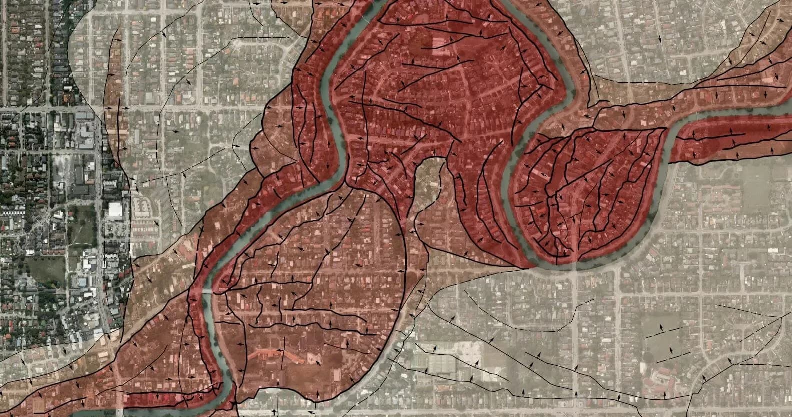
Lateral spread mapping and geological modelling, Christchurch and Kaiapoi
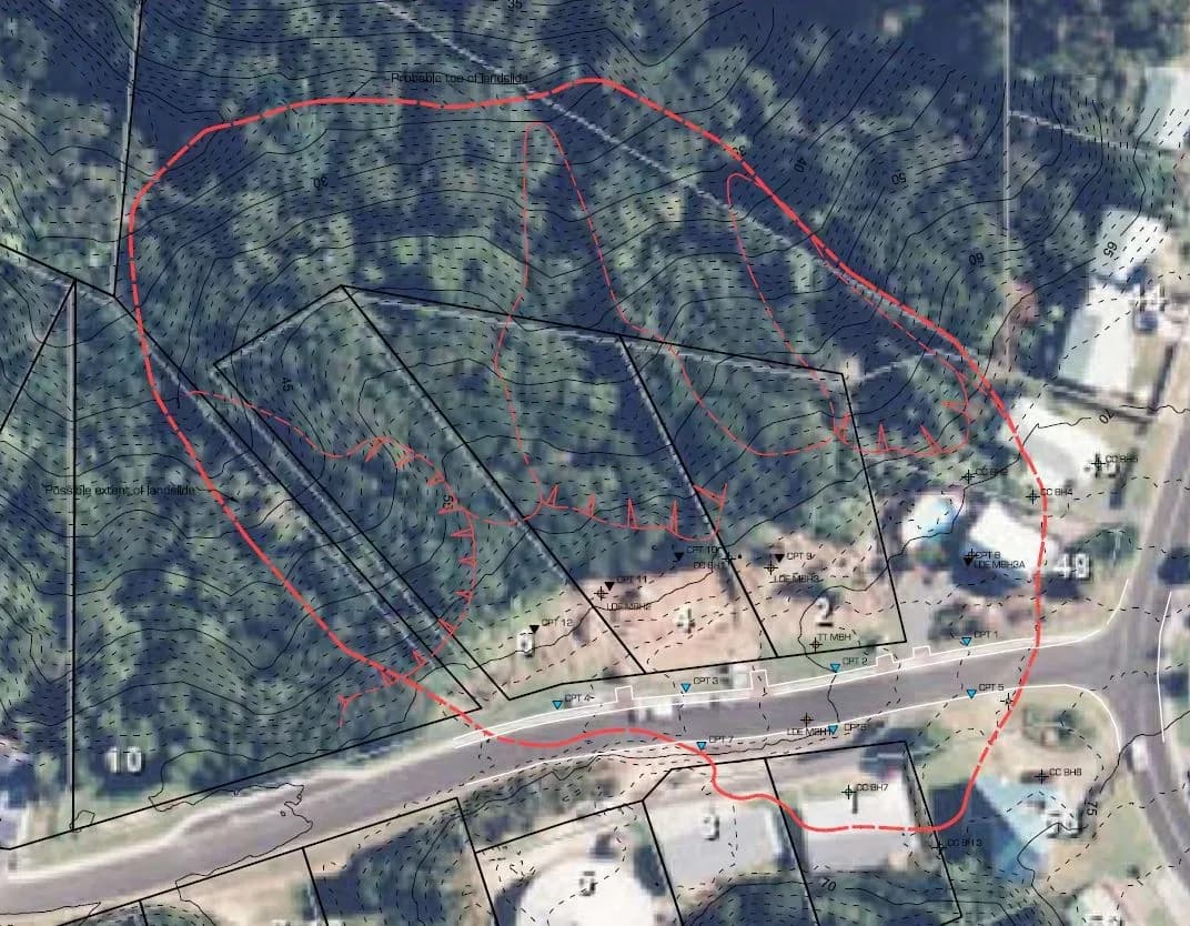
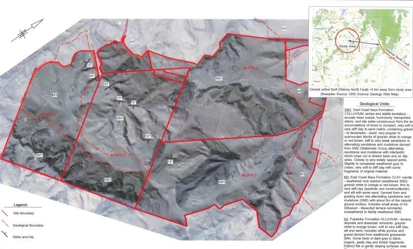
Deep-seated landslide investigation and stabilisation, Hīhītahi Rise
Geomorphic mapping in Auckland’s Southern Landslide Zone, Whitford
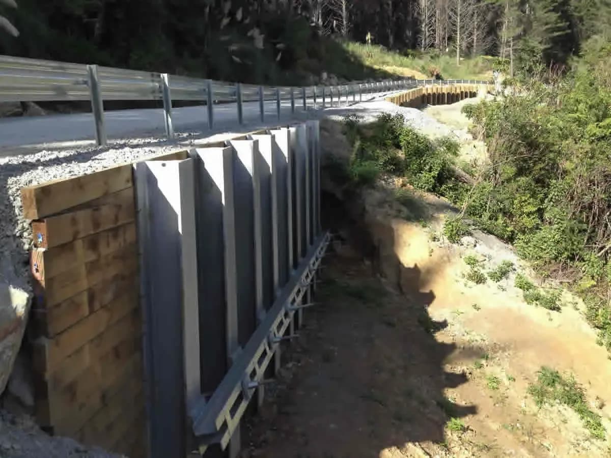
Coastal erosion protection, Blacks Beach and East Cape Road
Getting the level of assessment right
The most common failure in hazard work is not a wrong answer, it is the wrong depth of investigation. A screening-level review presented as a detailed assessment gives false comfort; a detailed assessment commissioned for a feasibility question burns budget that the project needs later. We scope the work to the decision in front of you and say clearly what each stage can and cannot conclude, so that a consent application is supported by evidence proportionate to the risk and a council reviewer can follow how we got there.
Common questions about natural hazards management
What does natural hazards management cover?
Natural hazards management covers identifying, assessing and managing the hazards that affect a site: flooding, coastal processes, seismic and ground shaking effects, land instability and other geotechnical hazards. We characterise the hazards present, assess the risk they pose to people, property and infrastructure, and advise on practical measures to avoid, reduce or manage that risk.
How detailed does a hazard assessment need to be?
It depends on the decision in front of you. The most common failure in hazard work is not a wrong answer, it is the wrong depth of investigation: a screening-level review presented as a detailed assessment gives false comfort, and a detailed assessment commissioned for a feasibility question burns budget the project needs later. We scope the work to the decision and say what each stage can conclude.
Do you assess flood and coastal hazards?
Yes. We assess river, surface water and stormwater flooding, map floodplains and flood hazard, and assess coastal inundation, erosion and shoreline processes, including the effects of climate change and sea level rise. That leads to advice on freeboard, setbacks and flood mitigation measures.
Can you assess liquefaction and slope stability?
Yes. We assess ground shaking and seismic hazard, liquefaction and lateral spreading, slope stability and land instability, and fault avoidance and ground deformation, then advise on earthworks, foundations and infrastructure. We provided the technical input for the liquefaction potential map covering Gisborne and the Poverty Bay Flats, which councils use to set the level of geotechnical assessment a site requires.
Do you work after an event as well as before one?
Yes. Following Cyclone Gabrielle we moved from voluntary emergency response into urgent technical support alongside Hawke’s Bay Regional Council, remediating two stopbank breaches at Maraenui on the Heretaunga Plains within a month. In Northland, a team of eight assessed landslides across the Far North District Council roading network after a major rainfall event and provided remedial designs.
Does the work support a resource consent application?
Yes. The work supports feasibility studies, resource consent applications, subdivision and infrastructure design, and long-term asset planning, and follows relevant New Zealand standards and guidance. Hazard assessment reporting is written for councils and stakeholders, so a reviewer can follow how we reached the conclusion. Wider hazard work sits under natural hazards and emergency management.