
Experience
Our experience
Our water team takes an integrated view of the water cycle, with significant involvement in the design and development of stormwater and wastewater reuse schemes. We work on projects from early feasibility through detailed design, construction and into operational monitoring. That long-view perspective helps us design schemes that are practical to run, not just to build.
Stormwater and wastewater
A substantial part of our workload sits in stormwater and wastewater, including community wastewater management systems and water-sensitive urban design. We bring together hydrology, hydraulics and civil engineering to produce schemes that manage water quality and quantity together.
Community wastewater management systems
Septic tank effluent disposal schemes
Stormwater harvesting and reuse
Water-sensitive urban design
Wetland design and modelling
Watercourse rehabilitation
Water resources and hydrogeology
On the supply side we cover potable water, irrigation and groundwater. Our hydrogeology capability means we can advise on managed aquifer recharge and aquifer storage and recovery as part of a wider water resource management plan, rather than treating groundwater as a separate silo.
Potable water supply and distribution
Pump stations and pipelines
Managed aquifer recharge and aquifer storage recovery
Hydrogeology and groundwater modelling
Integrated water management plans
Irrigation schemes
Modelling and asset management
We also support clients with flow and flood modelling and the asset management of existing water infrastructure. Our engineers are comfortable moving between design and assessment work, which is useful for utilities managing ageing portfolios.
Flow, quality, flood and groundwater modelling
Asset management and condition assessments
Construction superintendency
Feasibility studies and options analysis
What this work involves
Water rarely respects the boundary of the project that is paying for it. A stormwater device sized for one site changes what the next one downstream has to do, and a groundwater take assessed in isolation says nothing useful about the aquifer. Working across the whole cycle rather than one part of it is what makes the answers hold up.
Our water work spans stormwater and wastewater schemes, potable supply and distribution, hydrogeology and groundwater assessment, water-sensitive urban design and wetland design. We move between design and assessment: modelling flows, quality, flooding and groundwater; designing pump stations, pipelines and treatment; and assessing the condition and remaining life of infrastructure that is already in the ground.
Stormwater and wastewater scheme design, including community systems
Potable supply, distribution, pump stations and pipelines
Hydrogeology, groundwater modelling and water resource assessment
Water-sensitive urban design and wetland design
Flow, quality, flood and groundwater modelling
How we approach it
A scheme that is elegant to design and impractical to operate is a failure with a long tail, and the operator inherits it. We stay involved past commissioning where we can, and we design with the maintenance regime in mind: access that a crew can actually use, monitoring that produces data somebody will read, and treatment processes matched to the level of operator attention the asset will realistically get. For utilities managing an ageing portfolio the more valuable question is usually not what to build but what to renew first, and we are comfortable being asked that one.
Common questions about water engineering
What does an integrated view of the water cycle actually change?
It changes the boundary of the assessment. A stormwater device sized for one site changes what the next one downstream has to do, and a groundwater take assessed on its own says very little about the aquifer it draws from.
Because water services, hydrogeology and rivers, streams and wetlands sit in the same practice, the catchment can be assessed once rather than three times to three different boundaries.
Do you work on potable supply as well as stormwater and wastewater?
Yes, on all three. Our scheme work covers stormwater and wastewater, including community systems, and potable supply, distribution, pump stations and pipelines. We have worked on the Ruapehu District Council town water supply and on water permits for kiwifruit orchards, and we assess the condition and remaining life of infrastructure already in the ground.
Can you support a resource consent for taking or discharging water?
Yes. That is a large part of the groundwater workload: quantifying what an aquifer can sustain, modelling the effect of a take or a discharge, and preparing the assessment a regional council needs. Examples include the Tāpora Flats groundwater model, the Ōmokaroa geothermal take and discharge, and the Hinds/Hekeao groundwater replenishment programme.
Do you do flood modelling?
Yes. We model flows, water quality, flooding and groundwater, and the same models support both design and assessment of effects. On the flood-protection side we have worked on West Coast stopbank upgrades and on the Poverty Bay Flats/Tūranganui a Kiwa. Wider flood and hazard work sits under natural hazards.
Which regions do you cover for water work?
Our published water projects span Northland, Auckland, Waikato, the Bay of Plenty, Tairāwhiti, Hawke’s Bay, Whanganui and Manawatū, Canterbury and the West Coast. Our offices cover both islands, with Christchurch serving Canterbury and the wider South Island. Find your nearest office.
Recent Projects
Project Experience across our water work.
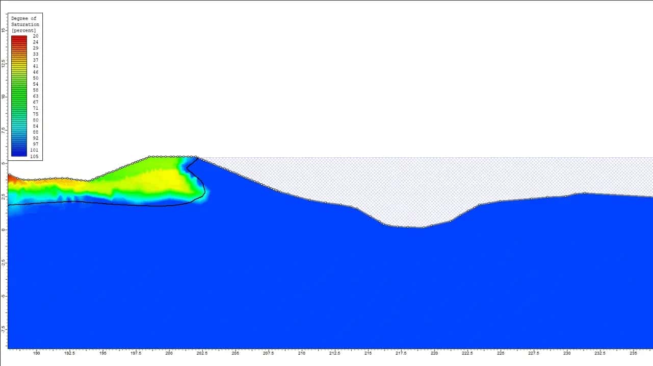
West Coast Stopbank Upgrades
West Coast Regional Council is working hard to enhance flood protection infrastructure along the Hokitika, Orowaiti, and Buller Rivers in New Zealand’s South Island. WGA is working with Davis Ogilvie to support Council to upgrade the existing stopbanks at Hokitika, and to…
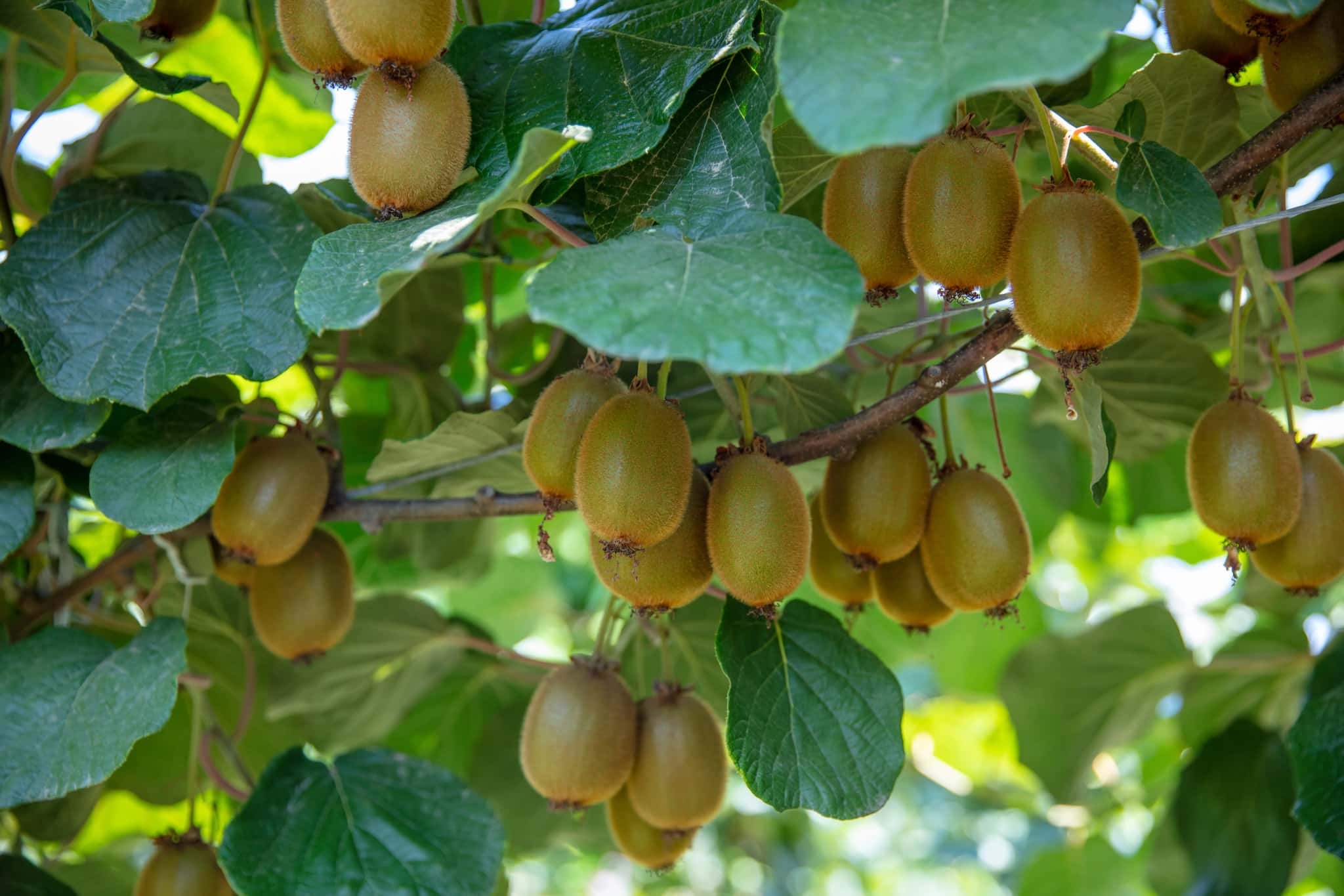
Water Permits for Kiwifruit Orchards
The region’s favourable soil and climate has sparked a surge in the establishment of new kiwifruit orchards and additional water requirements for established orchards. To enhance optimal growing conditions, growers frequently seek groundwater for irrigation during dry spells.…
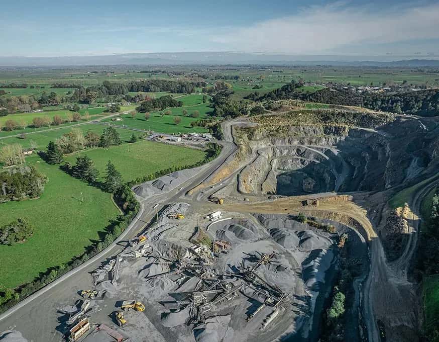
Tauhei Quarry Hydrogeological Assessment
Stevenson Aggregates, looked to re-consent their existing greywacke quarry operations in Tauhei, New Zealand. This included deepening the quarry pit to gain access to more of the resource.
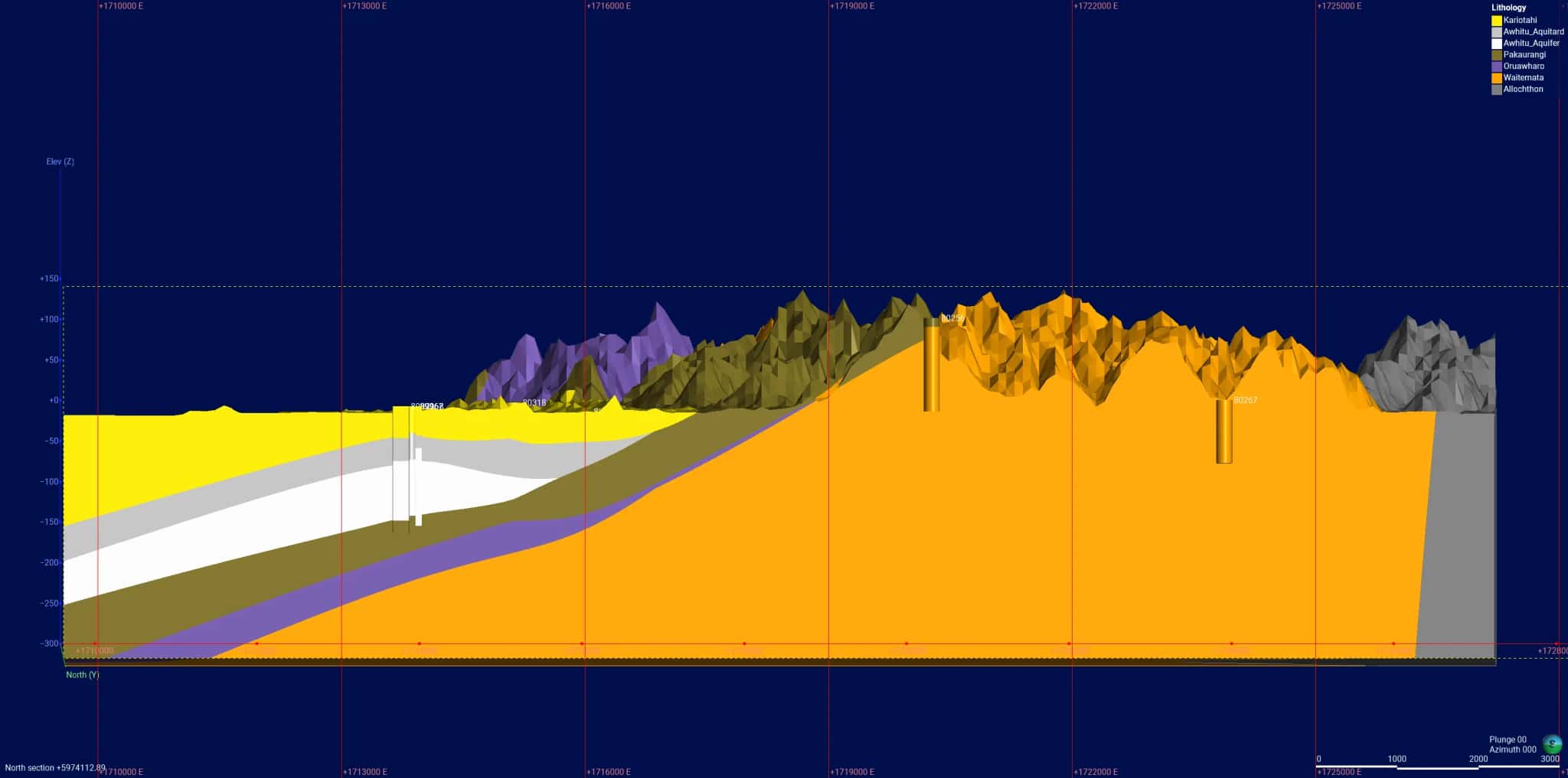
Tāpora Flats Groundwater Model
The demand for groundwater resources has increased following the expansion of irrigated land in the Tāpora Flats area of the Ōkahukura Peninsula, New Zealand. Abstraction from coastal aquifers, like those found under the Ōkahukura Peninsula, can result in declining hydraulic…
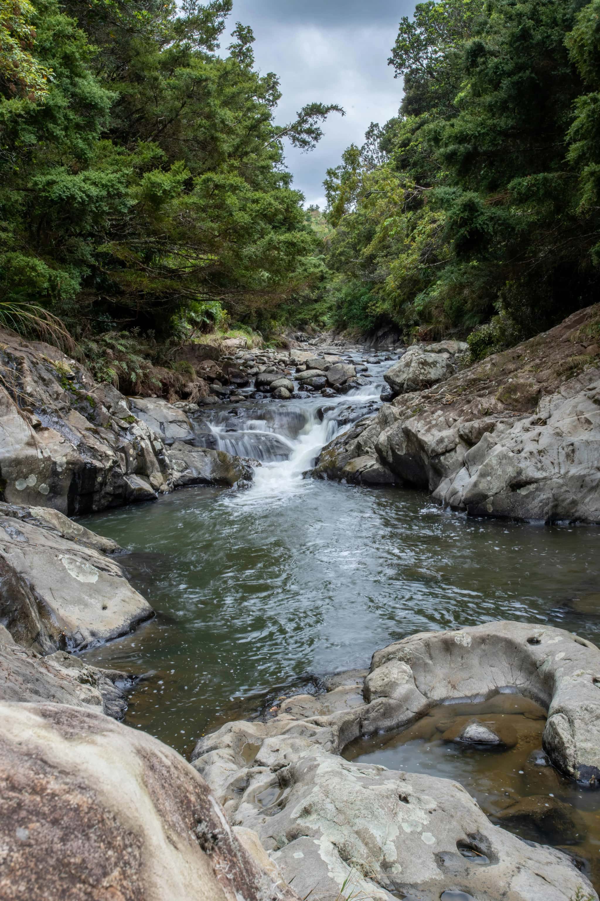
Ruapehu District Council Town Water Supply
The township of Ōwhango in New Zealand historically relied on a local stream for its water supply. However, accessing this stream for regular intake maintenance and monitoring proved challenging. Seeking a more reliable solution, the Ruapehu District Council (RDC) investigated…
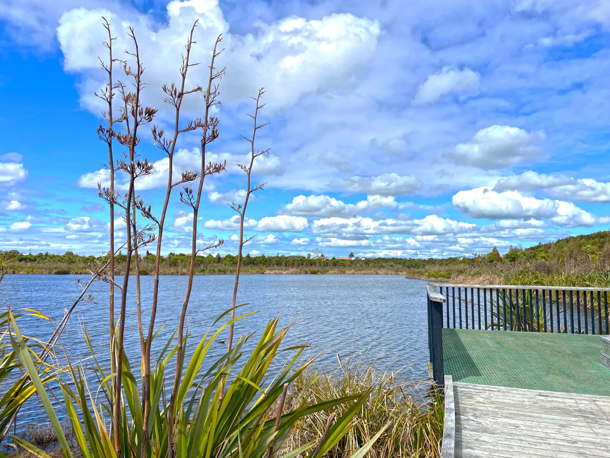
Rotokauri Greenway
Rotokauri Greenway is proposed as a vibrant 4.7km ecological corridor connecting Lake Waiwhakareke and Lake Rotokauri just northeast of Hamilton.
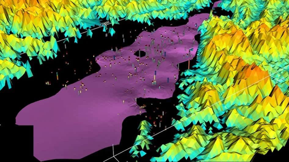
Poverty Bay Flats/Tūranganui A Kiwa
The looming pressures of changing weather patterns and rising sea levels as a result of projected climate change highlighted the need for Gisborne District Council (GDC) to improve the management of groundwater resources in the Tūranganui a Kiwa (Poverty Bay) flats area. GDC…
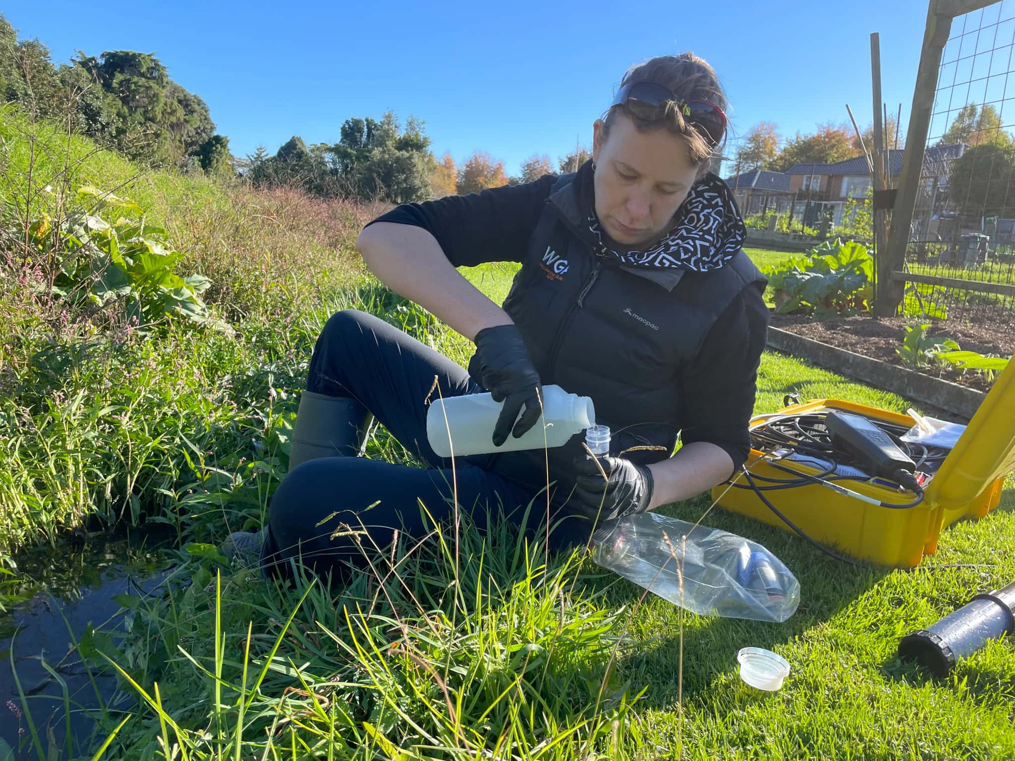
Ōmokaroa Geothermal Take and Discharge
Ōmokoroa Country Estate (OCE), a Bay of Plenty retirement village, faced expiring resource consents for their geothermal bore. Partnering with WGA for technical support in the renewal process, consents were sought to authorise OCE to extract water for use in a swimming pool and…
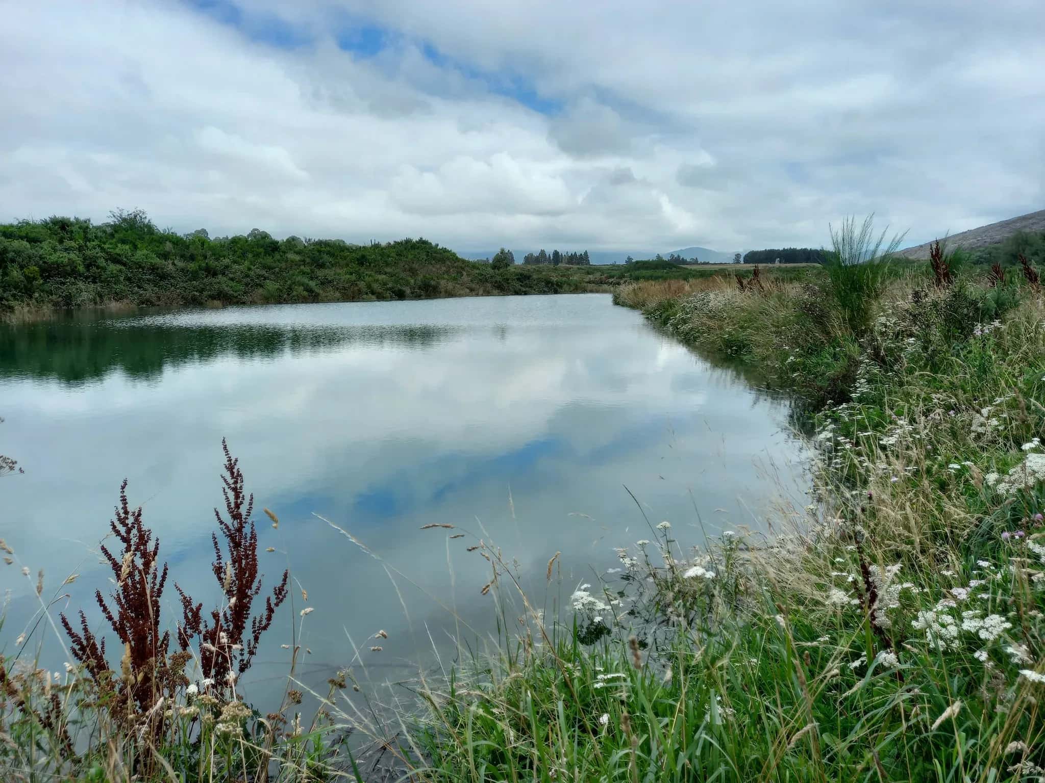
Hinds/Hekeao Groundwater Replenishment Programme
WGA led the development of New Zealand’s first regional rules around Managed Aquifer Recharge (MAR) focused on improving groundwater storage (quantity) and quality for various economic, cultural and environmental outcomes.
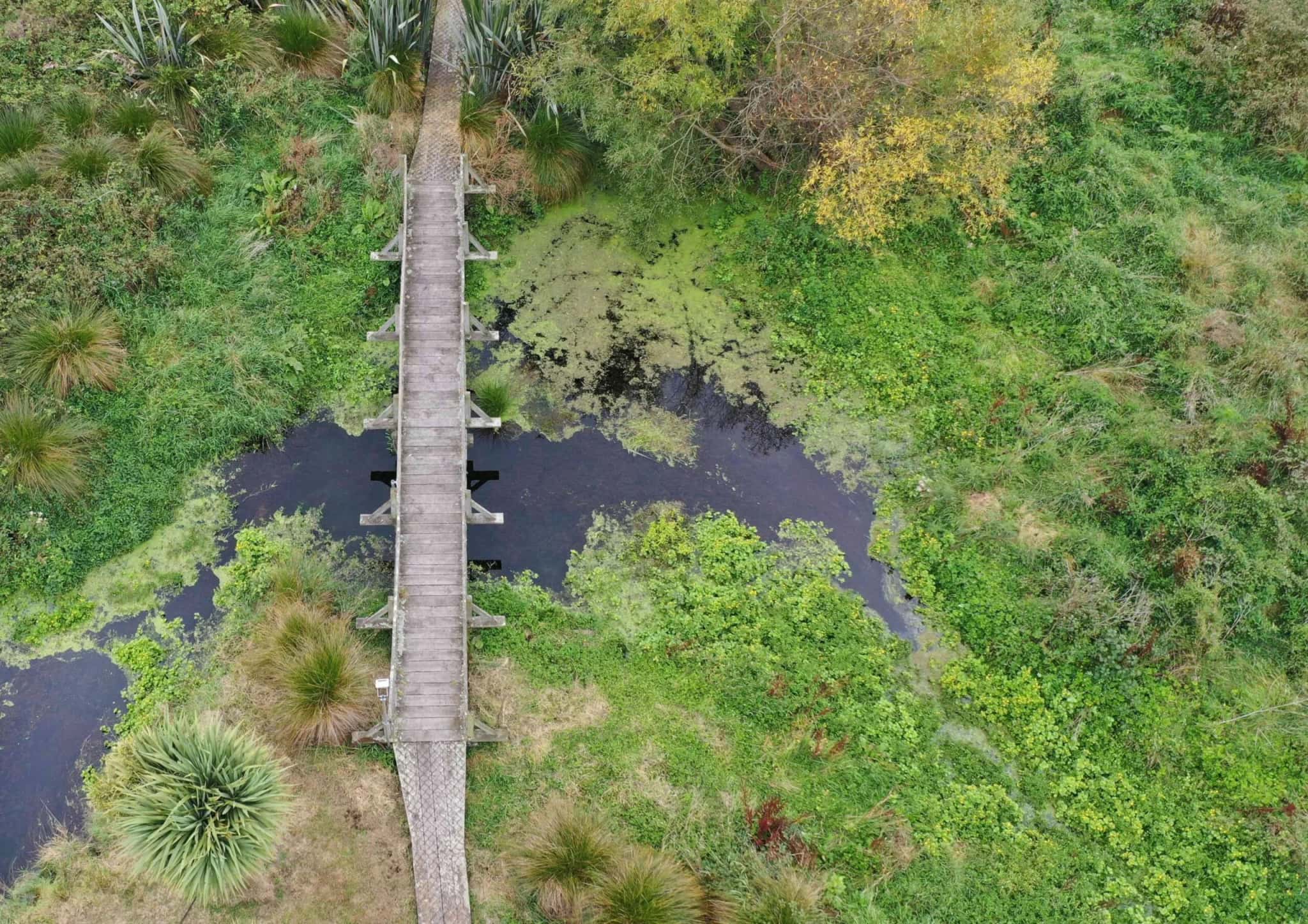
Arowhenua Reserve Regeneration Plan
The Arowhenua Reserve Regeneration Plan is an iwi led initiative developed to restore the cultural, ecological and hydrological values of the Awarua Creek and surrounding wetlands within the Arowhenua Māori Reserve, located between the Temuka and Opihi Rivers.
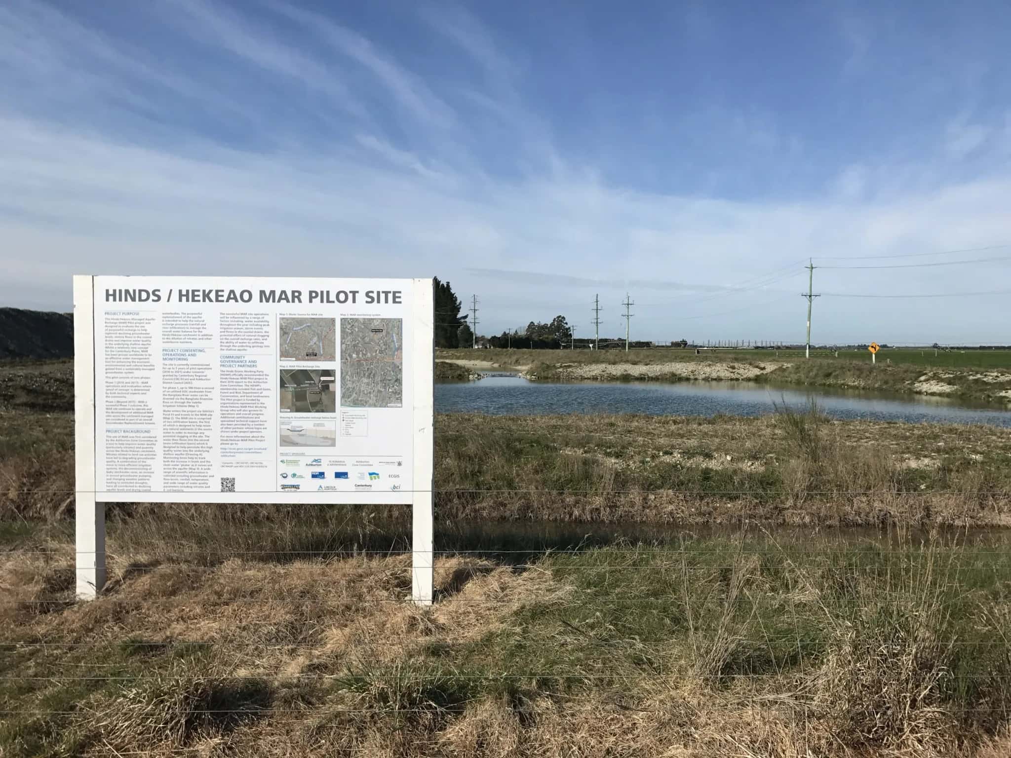
Groundwater Replenishment Scheme for the Hinds Catchment
WGA has been engaged by Environment Canterbury Regional Council to undertake a study into the Groundwater Replenishment Scheme for the Hinds Catchment in Canterbury, NZ.
Whangārei Heads Wastewater Storage
Whangārei Heads, Northland
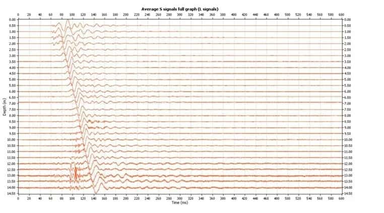
An upgrade of an underground wastewater storage tank was proposed, and as part of this, LDE was engaged to undertake both standard Cone Penetrometer Tests (CPTs) and Seismic Cone Penetrometer Tests (S-CPTs). The shear-wave velocity from Seismic CPT investigations, as well as...