Auckland
Tāpora Flats Groundwater Model
Delivered by Wallbridge Gilbert Aztec New Zealand (WGANZ)
Project Overview
The demand for groundwater resources has increased following the expansion of irrigated land in the Tāpora Flats area of the Ōkahukura Peninsula, New Zealand. Abstraction from coastal aquifers, like those found under the Ōkahukura Peninsula, can result in declining hydraulic pressures and reduced groundwater discharge offshore, leading to saline water intrusion, rendering groundwater unfit for potable or irrigation use.
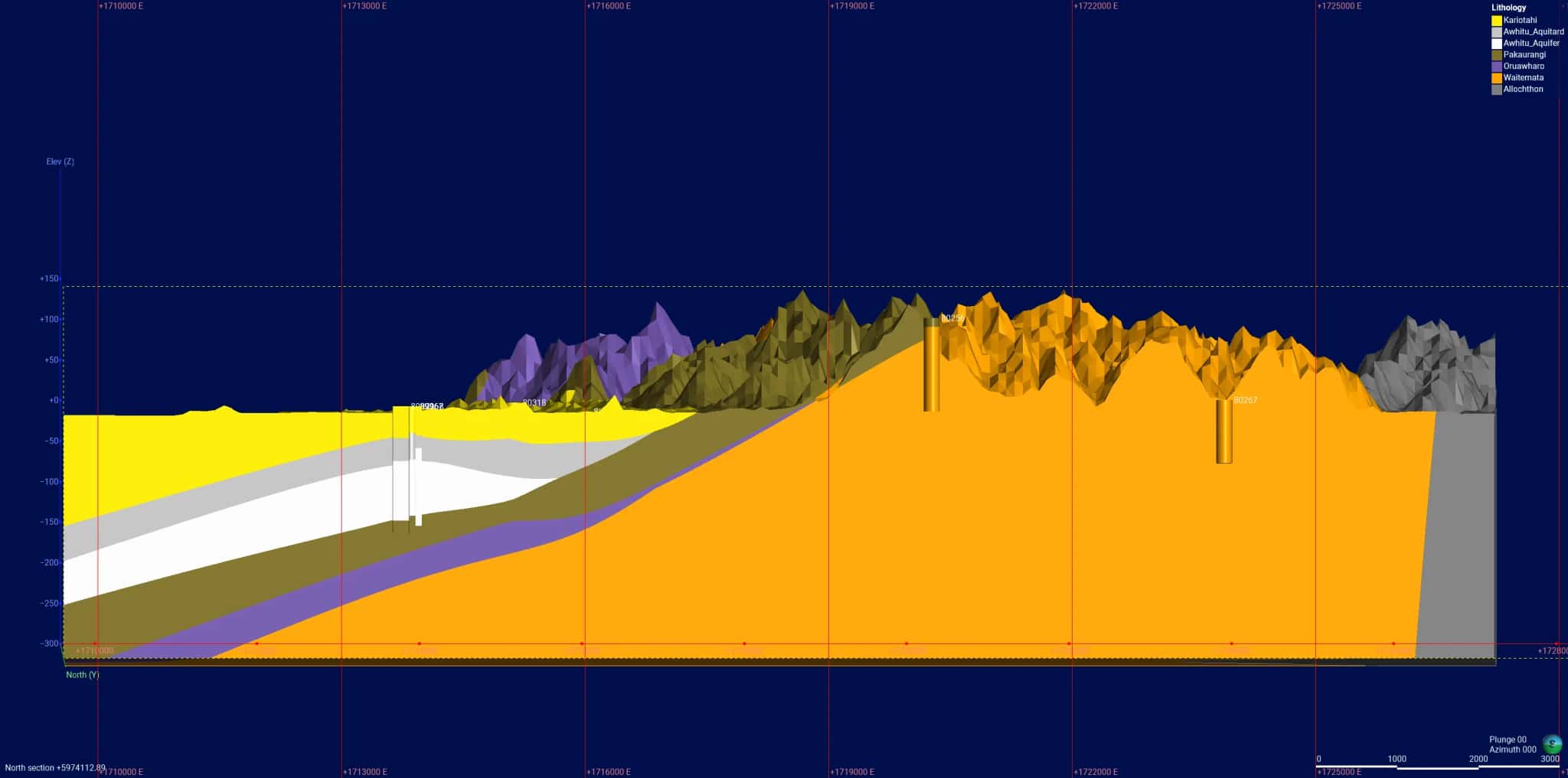
Groundwater quality monitoring indicated increases in groundwater salinity under the Ōkahukura Peninsula. Subsequently, Auckland Council engaged WGA to provide a geological model and 3D numerical groundwater model of the peninsula to help evaluate groundwater resources in the Tāpora Flats area. WGA constructed a 3D numerical geological model of the peninsula using Leapfrog and converted this model into a calibrated numerical groundwater model using Groundwater Vistas.
The geological and groundwater numerical models were used to support Council in setting groundwater allocation limits. Copies of the models, together with model documentation, were provided to Auckland Council to enable the council to conduct their own scenario simulations internally, should future groundwater users seek new resource consents.
Gallery
Project Details
- Region
- Auckland
- Delivered by
- Wallbridge Gilbert Aztec New Zealand (WGANZ)