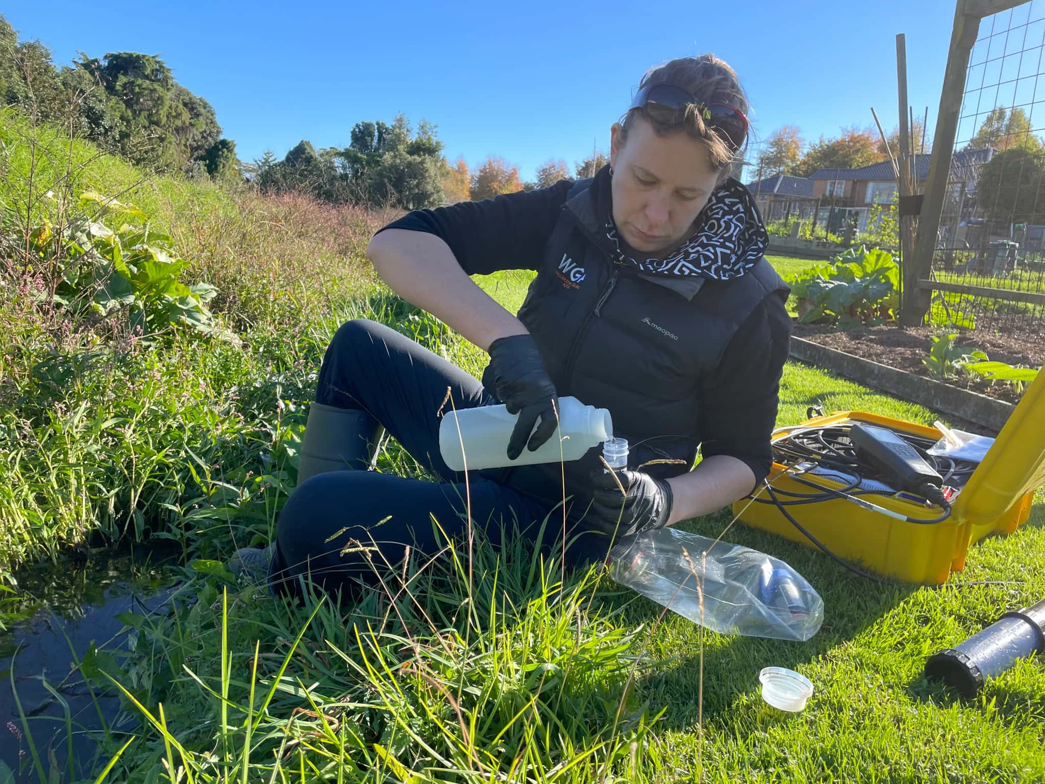
Hydrogeology in South Auckland
South Auckland is growing fast over alluvial soils, peat and volcanic deposits, and beneath all of it sit aquifers that supply irrigation and rural communities and quietly feed local streams. Hydrogeology is the science of understanding those aquifers as the land changes around them.
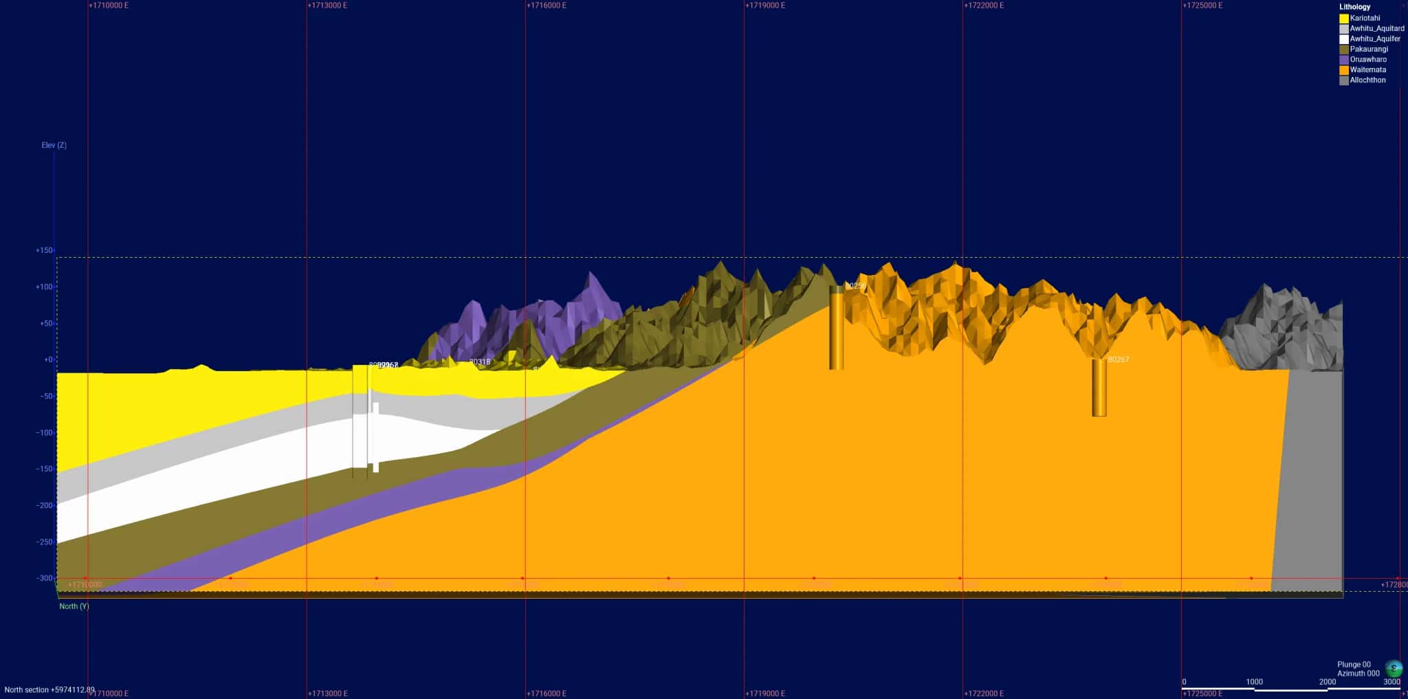
LDE provides hydrogeology across the southern growth corridor, characterising aquifers, building conceptual and numerical groundwater models, and assessing how recharge, abstraction and large-scale development interact. We design and interpret aquifer tests, study how new impervious area and land-use change affect groundwater quality and recharge, and give developers and the council the understanding they need to manage water alongside the build-out at Drury, Flat Bush and Pukekohe.
Working under the Auckland Unitary Plan, this is investigation and assessment rather than reticulation or treatment, and it helps the region grow without losing sight of the groundwater system underneath. Talk to our South Auckland team about your next project.
Send a Message
Enquire about your South Auckland project
How our South Auckland team delivers hydrogeology
Greenfield growth changes recharge and demand at the same time, so we work to understand the aquifer before and as the land develops. Our team characterises the groundwater system across the southern basin, builds conceptual and numerical models of recharge and flow, and assesses how large-scale development shifts groundwater levels, quality and the baseflow that local streams rely on. Where rural and irrigation supply matters, we design and interpret aquifer tests to estimate what the resource can sustain.
It is the same hydrogeology capability behind our water and natural resources work across the southern growth corridor.
- Aquifer characterisation across alluvial, peat and volcanic deposits
- Conceptual and numerical groundwater flow models
- Recharge and water-balance assessment as land use changes
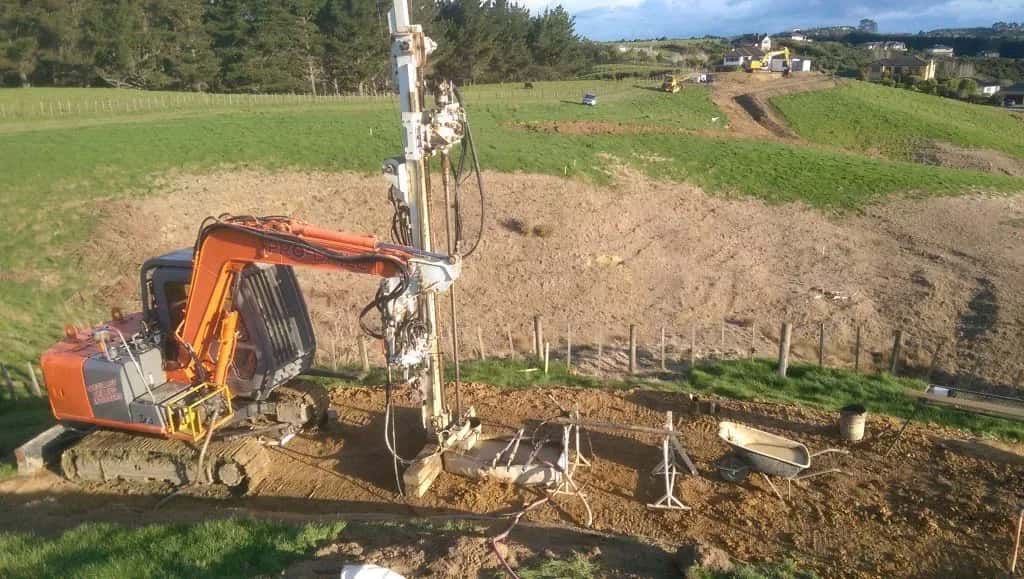
- Aquifer testing and sustainable-yield assessment for rural and irrigation supply
Aquifers and water management in southern Auckland
Groundwater allocation, recharge and discharge effects across the south are managed under the Auckland Unitary Plan, administered by Auckland Council. We align our aquifer investigations, models and reporting with that framework and with national freshwater direction.
- Ministry for the Environment national direction on freshwater management
- Water New Zealand good-practice guidance for groundwater resources
LDE hydrogeology in southern Auckland
LDE provides hydrogeology across the southern growth corridor, from aquifer characterisation and numerical modelling to recharge and water-balance studies as Drury, Flat Bush and Pukekohe build out. With soft soils and a mix of aquifers across the southern basin, much of our work is about quantifying how growth and land-use change affect groundwater and the streams it feeds. This sits within a wider natural resources picture, and you can see more of our regional water delivery on the projects page.
Common questions about hydrogeology in South Auckland
How does large-scale development affect groundwater here?
Covering soil with roads and buildings reduces recharge, while new demand draws more from the aquifer, so we assess how the water balance changes as the south builds out. This matters for supply and for the streams that depend on groundwater baseflow, and it lets growth be managed with the resource in view.
Why model groundwater for a growth area?
A numerical model lets us test how recharge, abstraction and land-use change interact across the southern basin before decisions are locked in. It turns a set of separate takes and developments into one picture of the aquifer, so cumulative effects can be understood rather than discovered later.
Who leads LDE’s hydrogeology in South Auckland?
Hydrogeologists and Chartered Professional Engineers from our team, supported by LDE groundwater specialists across the country.
Can LDE assess groundwater for rural and irrigation supply?
Yes. We characterise the aquifer, design and interpret aquifer tests, and estimate the sustainable yield for rural and irrigation takes across the south. Pairing that with a recharge assessment shows whether a take can be supported through dry periods, which is exactly the question growers and the council need answered.