

Rivers, Streams and Wetlands in Napier
Hawke’s Bay lives with its rivers. The Tūtaekurī, Ngaruroro and Tukituki rivers cross the Heretaunga Plains behind an extensive network of stopbanks and flood-protection works, the low-lying land around Ahuriri relies on managed drainage, and the 2023 floods reset how seriously the region treats river and flood risk. LDE works on the surface-water side of this, covering river and stream hydraulics, flood and erosion management, channel and bank works, stream and wetland restoration, fish passage and freshwater consenting.
We model how the rivers and the flood-protection network behave in large events, design channel, bank and floodplain works that manage that risk, and restore streams and wetlands across the plains and the Ahuriri estuary margins. Our freshwater engineers and scientists understand how the plains, the rivers and the flood scheme work together, and design to suit. For Napier clients, that means surface-water engineering grounded in how this river-shaped coastline behaves.
Talk to our Napier team about your next project.
Send a Message
Enquire about your Napier project
How our Napier team delivers rivers, streams and wetlands work
Surface water in Hawke’s Bay is shaped by its rivers and the flood scheme that contains them. The Tūtaekurī, Ngaruroro and Tukituki cross the Heretaunga Plains behind stopbanks, and low-lying land relies on managed drainage, so most of our work begins with how these rivers and that network behave in flood. From there we design channel, bank and floodplain works that manage flood and erosion risk, and we restore streams and wetlands across the plains and around the Ahuriri estuary.
The work sits alongside our national rivers, streams and wetlands capability and our water experience across the region, on land where rivers, flood protection and freshwater health are inseparable.
- River and stream hydraulic modelling on the Heretaunga Plains
- Bank-erosion protection and floodplain works on the major rivers
- Stream and wetland restoration across the plains and estuary margins
- Fish passage assessment and remediation at structures
Waterways and flood management in Hawke’s Bay
Rivers, freshwater and flood management on the Heretaunga Plains sit with Hawke's Bay Regional Council, which administers the regional and freshwater plans, runs the river and flood-protection schemes, and holds the flood-hazard information for the region. We align our modelling, design and consent applications with that framework and with national freshwater direction.
- Ministry for the Environment freshwater policy and the wetland and stream rules
- Water New Zealand good-practice guidance for rivers and stormwater
LDE rivers, streams and wetlands in Hawke’s Bay
LDE delivers surface-water engineering and freshwater science across Hawke’s Bay, from river and stream hydraulics on the Tūtaekurī, Ngaruroro and Tukituki to stream and wetland restoration across the plains and the Ahuriri estuary margins. With the 2023 floods still shaping local thinking, much of our work is about flood resilience and managing erosion alongside protecting and restoring freshwater values. You can see more of our regional water delivery on the projects page.
Common questions about rivers, streams and wetlands in Hawke’s Bay
What makes river work on the Heretaunga Plains distinctive?
The plains sit behind an extensive stopbank and flood-protection network that contains the Tūtaekurī, Ngaruroro and Tukituki rivers, and low-lying land relies on managed drainage. River and channel hydraulics, bank protection and floodplain behaviour drive the design, and the 2023 floods sharpened how the region weighs that risk.
How does river flooding shape freshwater work near Napier?
Flood flows in the major rivers and the performance of the flood scheme set the conditions across the plains, so we model those flows and design channel, bank and floodplain works to suit. Stream and wetland restoration is then designed to function within that flood regime rather than working against it.
Who carries out LDE’s freshwater work in Napier?
Our Napier projects are led by Chartered Professional Engineers and freshwater scientists from our team, backed by the wider LDE water network across New Zealand and Australia.
Can LDE restore streams and wetlands around the Ahuriri estuary?
Yes. We design stream and wetland restoration around the estuary margins and across the plains, including planting, channel and habitat works, and prepare the freshwater consents. This restoration improves water quality and habitat and can sit alongside flood and erosion management on the same site, which the regional council looks for.


Hawke's Bay
Recent projects in Hawke's Bay
.webp&w=2048&q=60)
Mix'd Cocktail Bar Alterations
Simkin Construction Ltd
Napier
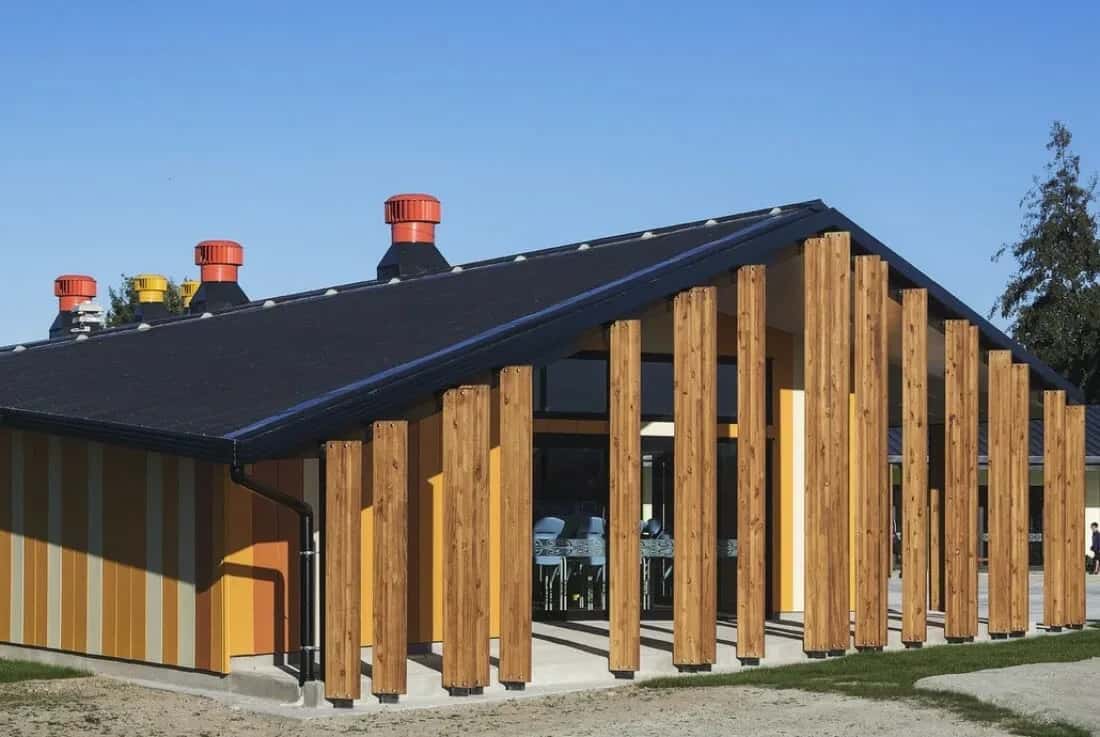
TKKM o Ngati Kahungunu School

Napier Heritage Building Seismic Strengthening and Restoration
Napier
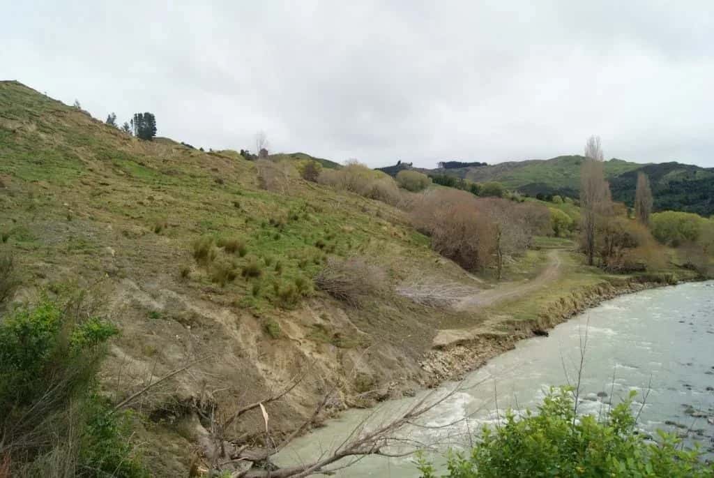
Nuhaka River Road Landslide
Nuhaka
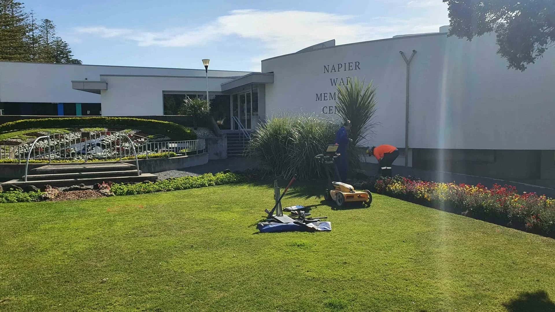
Napier War Memorial Restoration
Napier City Council c/- Designgroup Stapleton Elliot
Marine Parade, Napier
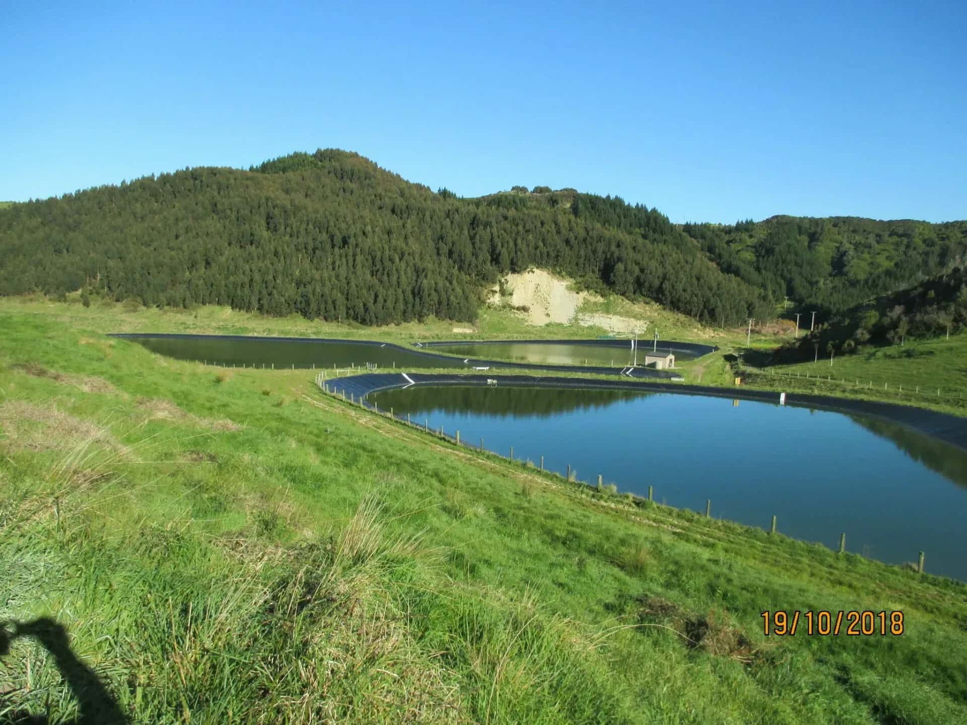
Mahia Wastewater Treatment Ponds
Mahia