
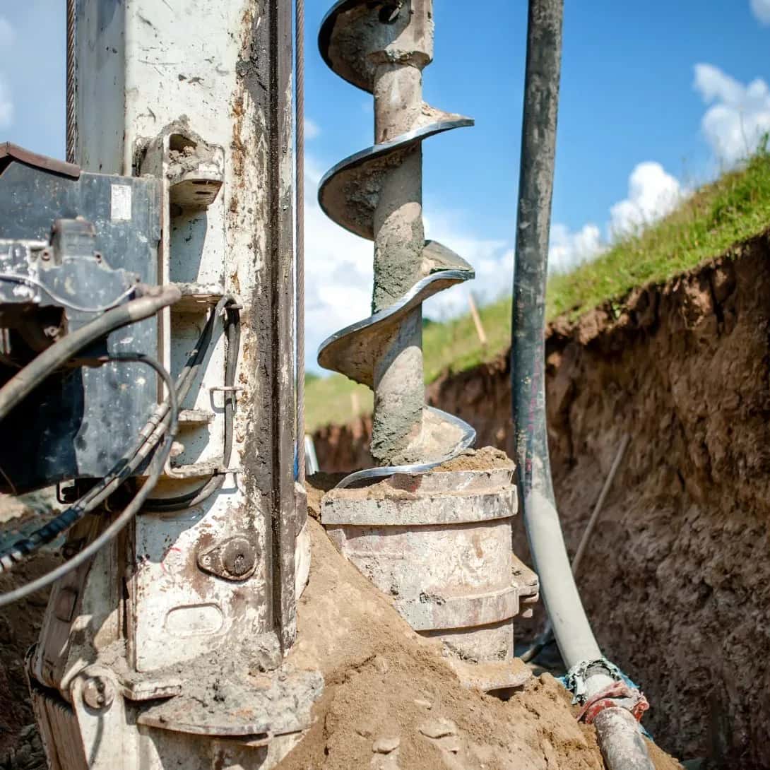
Geotechnical Engineering in Gisborne
Few parts of New Zealand test geotechnical engineers like Tairāwhiti. Soft mudstone, known locally as papa, makes the hill country highly erosion-prone, the Poverty Bay flats carry recognised liquefaction risk, and Cyclone Gabrielle showed how quickly slopes and roads can fail in a major storm.
LDE’s Gisborne geotechnical engineers know this ground intimately. We map instability, design slope stabilisation and retaining structures, and provide the liquefaction and foundation advice that buildings and infrastructure need across the region.
Because Gisborne District Council is a unitary authority, regional and district rules sit together, and our team works fluently across both. From storm recovery on rural roads to new builds in town, we give Tairāwhiti clients grounded, practical engineering that holds up in difficult country.
Send a Message
Enquire about your Gisborne project
How our Gisborne team delivers geotechnical engineering
Tairāwhiti’s erosion-prone papa hill country and storm exposure put slope stability and landslide remediation at the centre of most projects. Our Gisborne engineers combine geological mapping and subsurface investigation with stabilisation and retaining design that suits steep, weathered ground.
This builds on our national geotechnical engineering team and supports the region’s transport network, where road resilience is a constant priority after major weather events.
- Landslide assessment and slope stabilisation in papa hill country
- Retaining structure design, from gravity walls to anchored and MSE walls
- Liquefaction assessment on the Poverty Bay flats
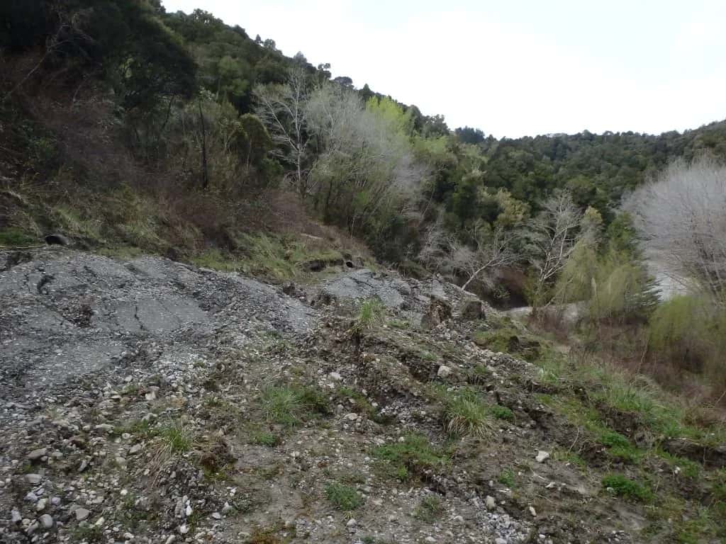
- Storm-recovery and road drop-out remediation
Ground conditions and consenting in Tairāwhiti
As a unitary authority, Gisborne District Council holds both regional and district planning roles, so erosion, natural-hazard and consent matters are managed in one place. We align our investigations and reporting with that framework and recognised national guidance.
- MBIE geotechnical guidance (Building Code B1)
- New Zealand Geotechnical Society practice modules
- Natural Hazards Commission Toka Tū Ake liquefaction and landslide research
Recent geotechnical work across Tairāwhiti
Our Gisborne projects include the Gisborne liquefaction map, ongoing geotechnical assessments across the district, the Kaiti Hill Plaza retaining wall, the Tauwhareparae Road landslide response, and the Gisborne District Courthouse expansion.
Common questions about geotechnical engineering in Tairāwhiti
Why is slope stability such a focus in Tairāwhiti?
The region’s soft mudstone, known as papa, erodes easily and fails in heavy rain, as Cyclone Gabrielle made clear. We assess slope stability and design stabilisation and retaining solutions to protect roads, homes and infrastructure.
Is liquefaction a risk on the Gisborne flats?
Yes. The Poverty Bay flats carry recognised liquefaction risk, which is why Gisborne has been mapped for it. We assess site-specific risk and design foundations to suit.
Who leads LDE’s geotechnical work in Gisborne?
Local Chartered Professional Engineers from our Gisborne team, supported by LDE specialists nationally.
Can LDE help after storm or landslide damage in Tairāwhiti?
Yes. We carry out rapid geotechnical assessments after slips and storm events, identify the cause, and design remediation such as drainage, slope reshaping and retaining structures. Much of our Tairāwhiti work involves restoring access and protecting property after major weather, so we understand the urgency these situations carry.





Tairāwhiti / East Coast
Recent projects in Tairāwhiti / East Coast
.webp&w=2048&q=60)
Beach Road Coastal Protection Works
Gisborne District Council
Tokomaru Bay, East Coast
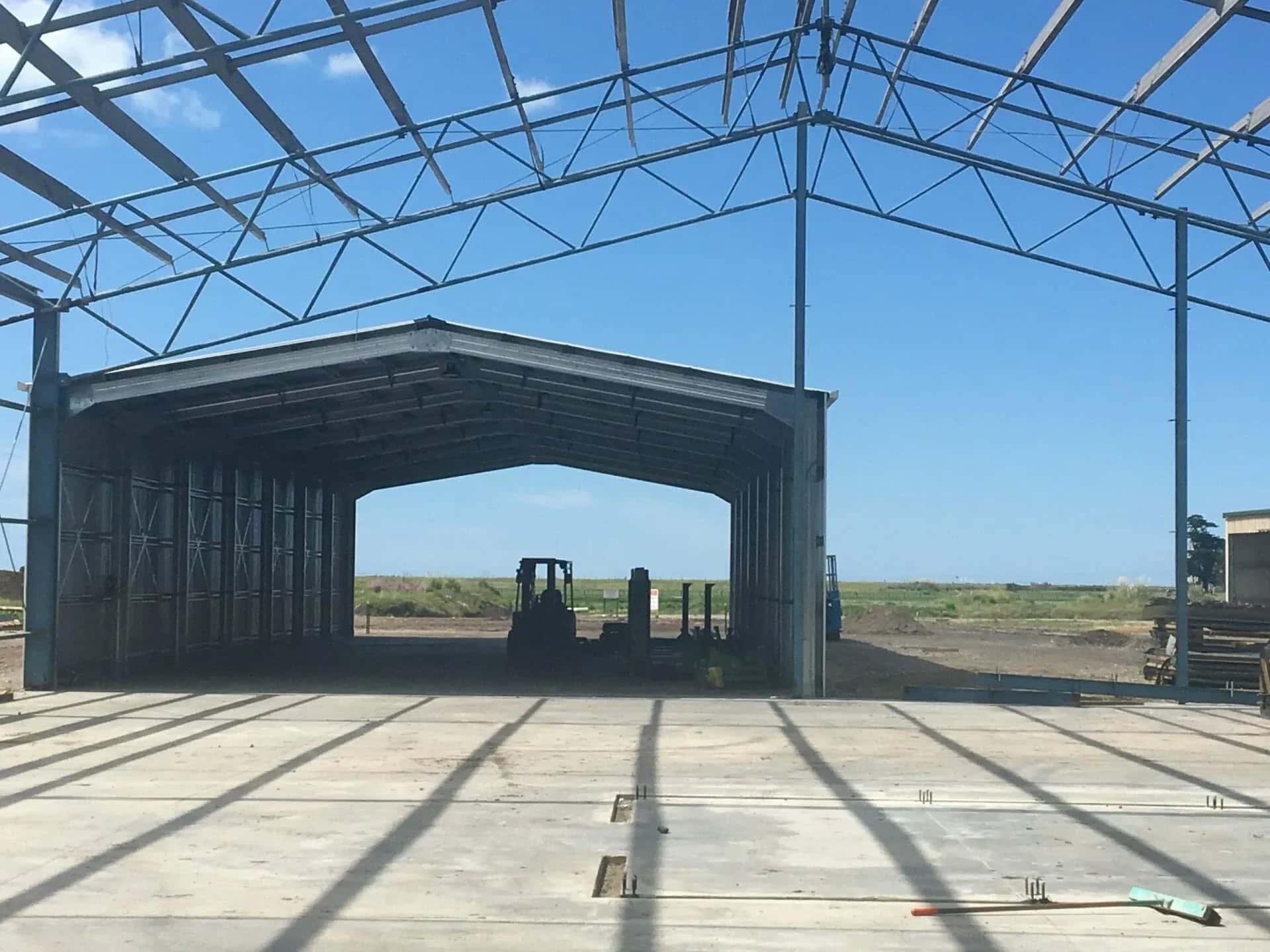
Gisborne WET Mill Project
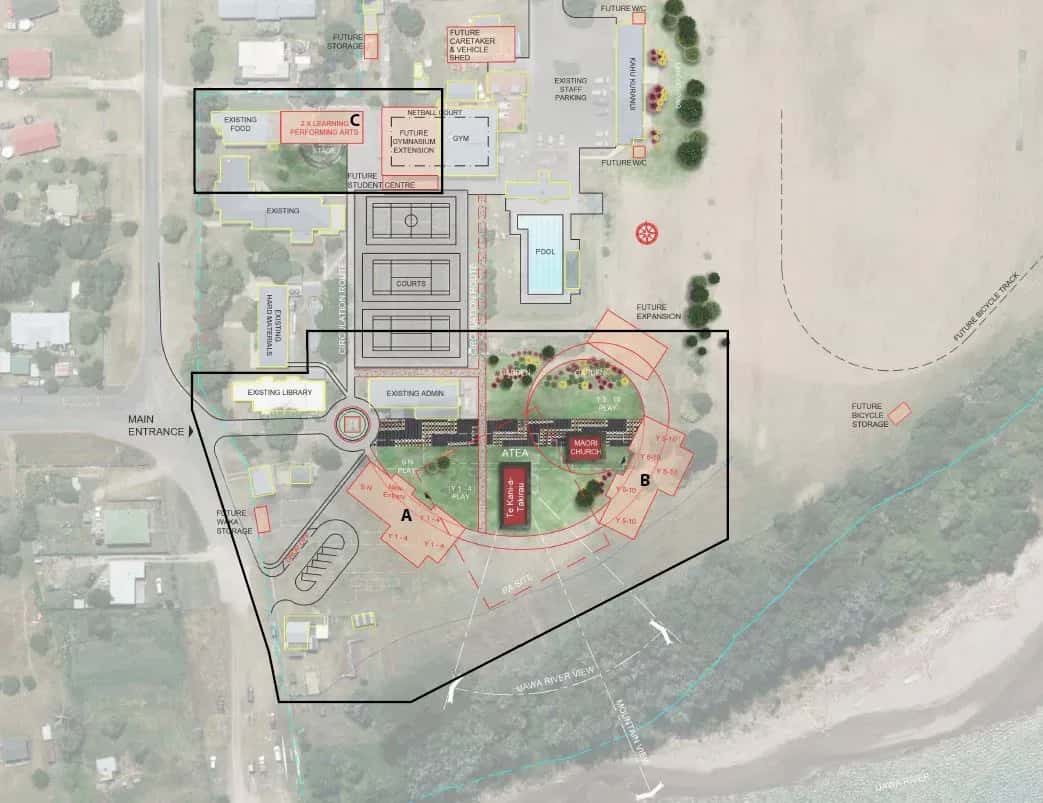
Tolaga Bay Area School Redevelopment
Ministry of Education / Babbage Architecture
Tolaga Bay
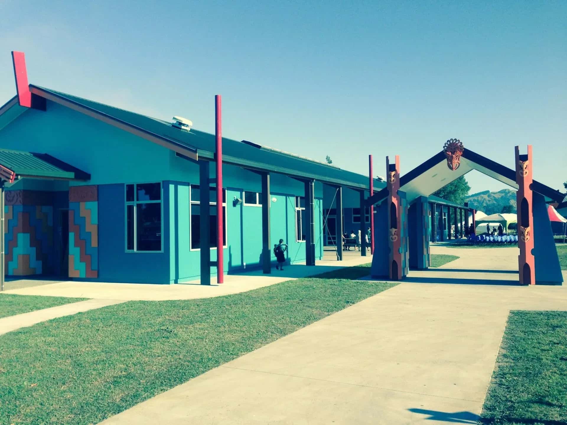
TKKM o Nga Uri A Maui School
Tauwhareparae Road Landslide
Tauwhareparae, Gisborne
St Mary's Catholic School, Gisborne
Campion Road, Gisborne