Hydrogeology in Gisborne
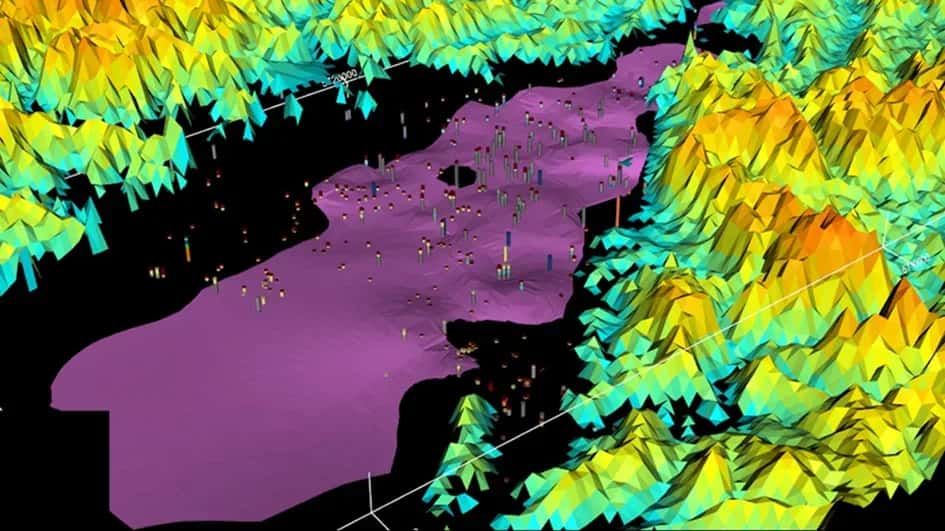
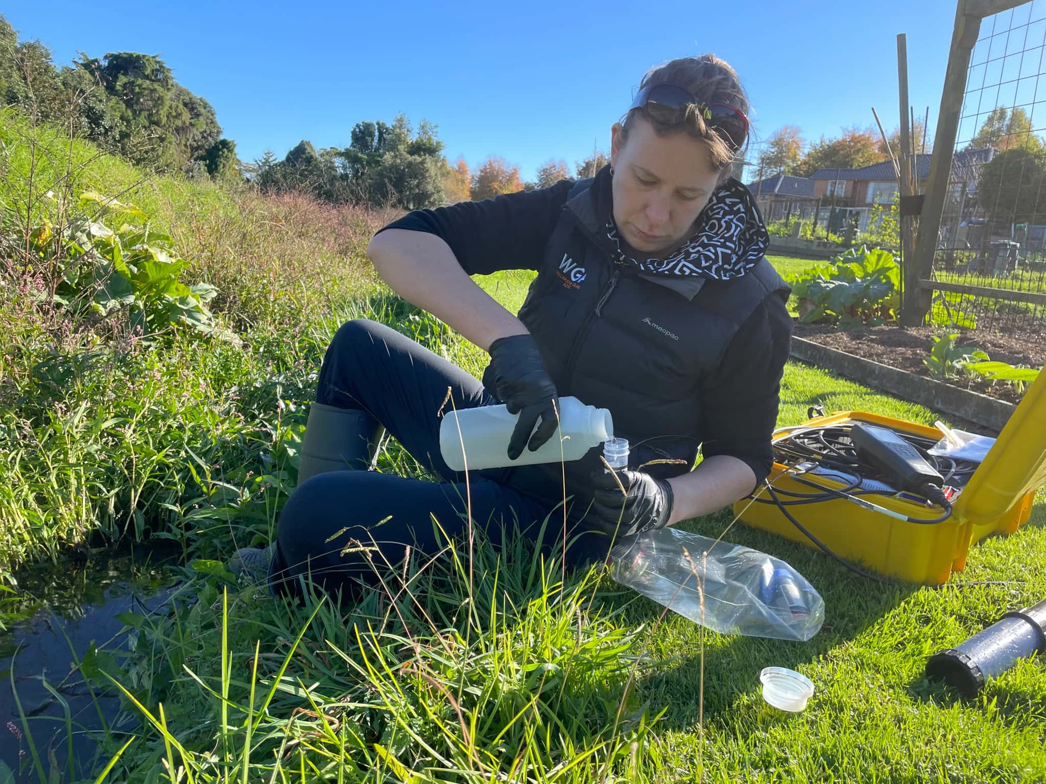
The Poverty Bay flats are the engine room of Tairāwhiti horticulture, and the layered aquifers beneath them are what make that productivity possible. Hydrogeology is the science of understanding those aquifers: how the Waipaoa and surrounding rivers recharge them, how water moves through the layered gravels and sediments, and how heavy demand and a changing climate affect the resource. LDE provides hydrogeology across the district, characterising the Poverty Bay flats aquifers, building conceptual and numerical groundwater models, and assessing recharge, sustainable yield and saline-intrusion risk near the coast.
We design and interpret aquifer tests, study groundwater quality, and give growers, the council and communities the understanding they need to manage a resource under real pressure. Because Gisborne District Council is a unitary authority, allocation and quality sit together. This is groundwater investigation and assessment, distinct from drilling or reticulation, and it underpins the careful use of an aquifer system the region cannot do without.
Talk to our Gisborne team about your next project.
Send a Message
Enquire about your Gisborne project
How our Gisborne team delivers hydrogeology
The Poverty Bay flats hold layered gravel and sediment aquifers that are recharged by the rivers and drawn on heavily for horticulture, so understanding the balance is the core of the work. Our team characterises these aquifers, builds conceptual and numerical models of recharge and flow, and assesses what the system can sustain through dry periods. With demand high and the coast close, we pay particular attention to sustainable yield and to the saline-intrusion risk where the flats meet the sea.
This builds on our national hydrogeology capability and supports the region’s water and natural resources needs, where groundwater is central to the horticultural economy.
- Characterisation of the layered Poverty Bay flats aquifers
- Conceptual and numerical groundwater flow models
- Recharge and sustainable-yield assessment under heavy demand
- Aquifer testing and saline-intrusion assessment near the coast
Aquifers and water management in Tairāwhiti
As a unitary authority, Gisborne District Council holds both regional and district roles, so groundwater allocation, quality and monitoring on the Poverty Bay flats are managed in one place. We frame our investigations, models and reporting to suit that framework and national freshwater direction.
- Ministry for the Environment national direction on freshwater management
- Water New Zealand good-practice guidance for groundwater resources
LDE hydrogeology in Tairāwhiti
LDE provides hydrogeology across Tairāwhiti, from characterisation and modelling of the Poverty Bay flats aquifers to recharge, yield and saline-intrusion assessment for the region’s horticulture. With groundwater under real pressure here, much of our work is about quantifying what the aquifers can sustain and where they are most exposed to over-allocation and seawater. You can see more of our regional water delivery on the projects page.
Common questions about hydrogeology in Tairāwhiti
Why are the Poverty Bay flats aquifers so important?
They supply the irrigation that makes Tairāwhiti horticulture possible, drawing on layered gravel aquifers recharged by the rivers. Because demand is high and the aquifers are finite, understanding their recharge and sustainable yield is essential to keeping the resource and the economy that relies on it healthy.
How does the unitary council affect a groundwater project here?
Gisborne District Council holds both regional and district roles, so groundwater allocation, quality and consents are managed in one place. We work across that single framework, which can simplify the path for a Tairāwhiti groundwater assessment.
Who leads LDE’s hydrogeology in Gisborne?
Local hydrogeologists and Chartered Professional Engineers from our Gisborne team, supported by LDE groundwater specialists nationally.
Can LDE assess whether an aquifer can sustain more demand?
Yes. We characterise the aquifer, model recharge and flow, and assess sustainable yield against current and proposed takes. On the Poverty Bay flats this shows whether the system can support more demand through dry periods, which is exactly the question growers and the council face as allocation tightens.





Tairāwhiti / East Coast
.webp&w=2048&q=60)