Hydrogeology in Whanganui
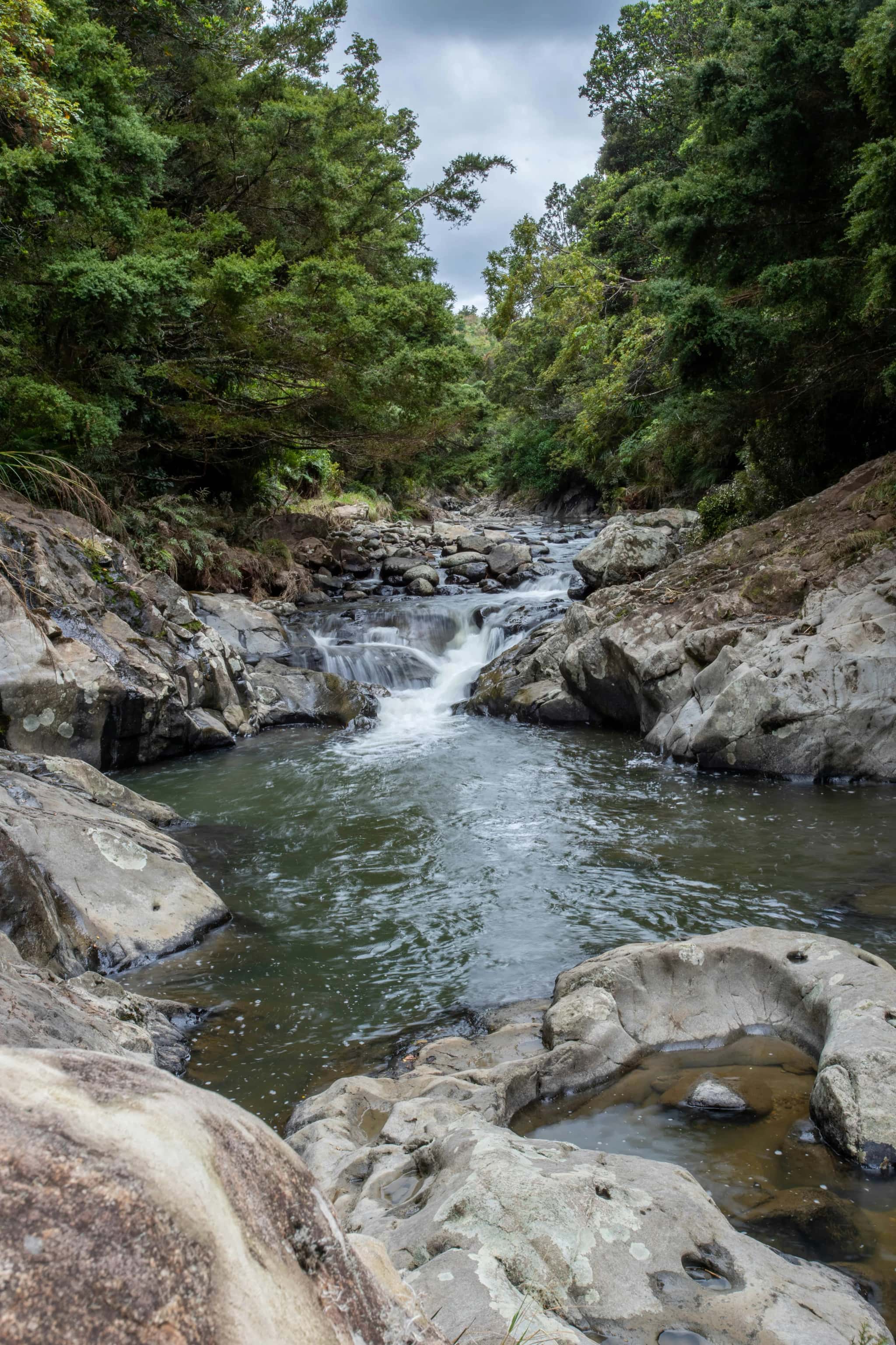
Across the Whanganui and Manawatū area, groundwater sits in river-terrace gravels, alluvial flats and deeper sedimentary layers, supplying rural communities and irrigation and staying closely tied to the rivers above. Hydrogeology is the science of understanding those aquifers: how they recharge, how water moves between river and aquifer, and how demand and land use affect quantity and quality.
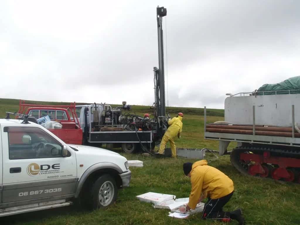
LDE provides hydrogeology across the region, characterising river-terrace and alluvial aquifers, building conceptual and numerical groundwater models, and assessing recharge, sustainable yield and groundwater quality. We design and interpret aquifer tests, study the connection between surface water and groundwater, and give councils, growers and communities the understanding they need to manage the resource within consent.
This work sits in the investigation and assessment space rather than reticulation or drilling, and it gives the Whanganui and Manawatū area a clear read on aquifers that are easy to take for granted. Talk to our Whanganui team about your next project.
Send a Message
Enquire about your Whanganui project
How our Whanganui team delivers hydrogeology
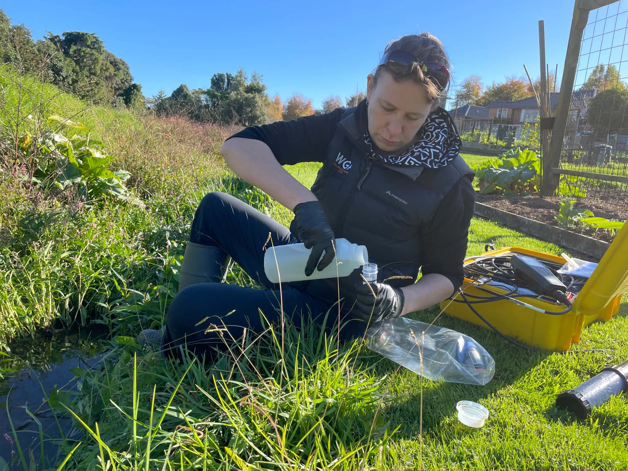
Groundwater here sits in river-terrace gravels, alluvial flats and deeper sediments, often closely connected to the rivers, so understanding that link is central to the work. Our team characterises the aquifers, builds conceptual and numerical models of recharge and flow, and assesses how groundwater and surface water interact when water is drawn. Where supply and irrigation matter, we design and interpret aquifer tests to estimate sustainable yield, and we study how land use affects groundwater quality.
It is the same hydrogeology capability behind our water and natural resources work across the Whanganui and Manawatū area.
- Characterisation of river-terrace, alluvial and deeper sedimentary aquifers
- Conceptual and numerical groundwater flow models
- Surface-water and groundwater connection assessment
- Aquifer testing, sustainable-yield and groundwater-quality assessment
Aquifers and water management in the Whanganui and Manawatū area
Groundwater allocation, quality and the surface-water connection here are managed under Horizons Regional Council regional plans, which set limits and monitoring for the aquifers. We frame our investigations, models and reporting to suit that framework and national freshwater direction.
- Ministry for the Environment national direction on freshwater management
- Water New Zealand good-practice guidance for groundwater resources
LDE hydrogeology in the region
LDE provides hydrogeology across the Whanganui and Manawatū area, from characterisation and modelling of river-terrace and alluvial aquifers to surface-water and groundwater connection studies and yield assessment for rural supply. With aquifers closely tied to the rivers, much of our work is about understanding that link and how takes and land use affect both the groundwater and the surface water it feeds. You can see more of our regional water delivery on the projects page.
Common questions about hydrogeology in the Whanganui and Manawatū area
What aquifers does the region rely on?
Groundwater here sits mainly in river-terrace gravels, alluvial flats and deeper sediments, much of it recharged by and connected to the rivers. Each behaves differently, so site-specific characterisation matters rather than assuming one aquifer behaves like another.
Why does the surface-water connection matter?
Many aquifers here exchange water with the rivers, so a groundwater take can affect river flows and the other way around. We assess that connection, which is essential for managing both the aquifer and the surface water within the regional council’s limits.
Who leads LDE’s hydrogeology in Whanganui and Manawatū?
Hydrogeologists and Chartered Professional Engineers from our team, supported by LDE groundwater specialists nationally.
Can LDE assess groundwater for a rural or irrigation supply here?
Yes. We characterise the aquifer, design and interpret aquifer tests, and estimate sustainable yield while accounting for the connection to nearby rivers. That gives growers and the council a clear basis for a groundwater take that holds up through dry periods and stays within allocation limits.

Whanganui / Manawatū