Hydrogeology in Kerikeri
Groundwater is the quiet foundation of the Far North, supplying horticulture, lifestyle blocks and small communities across the Bay of Islands. Understanding how those aquifers behave, how much they hold and how easily they are reached by contamination or seawater is the work of a hydrogeologist.
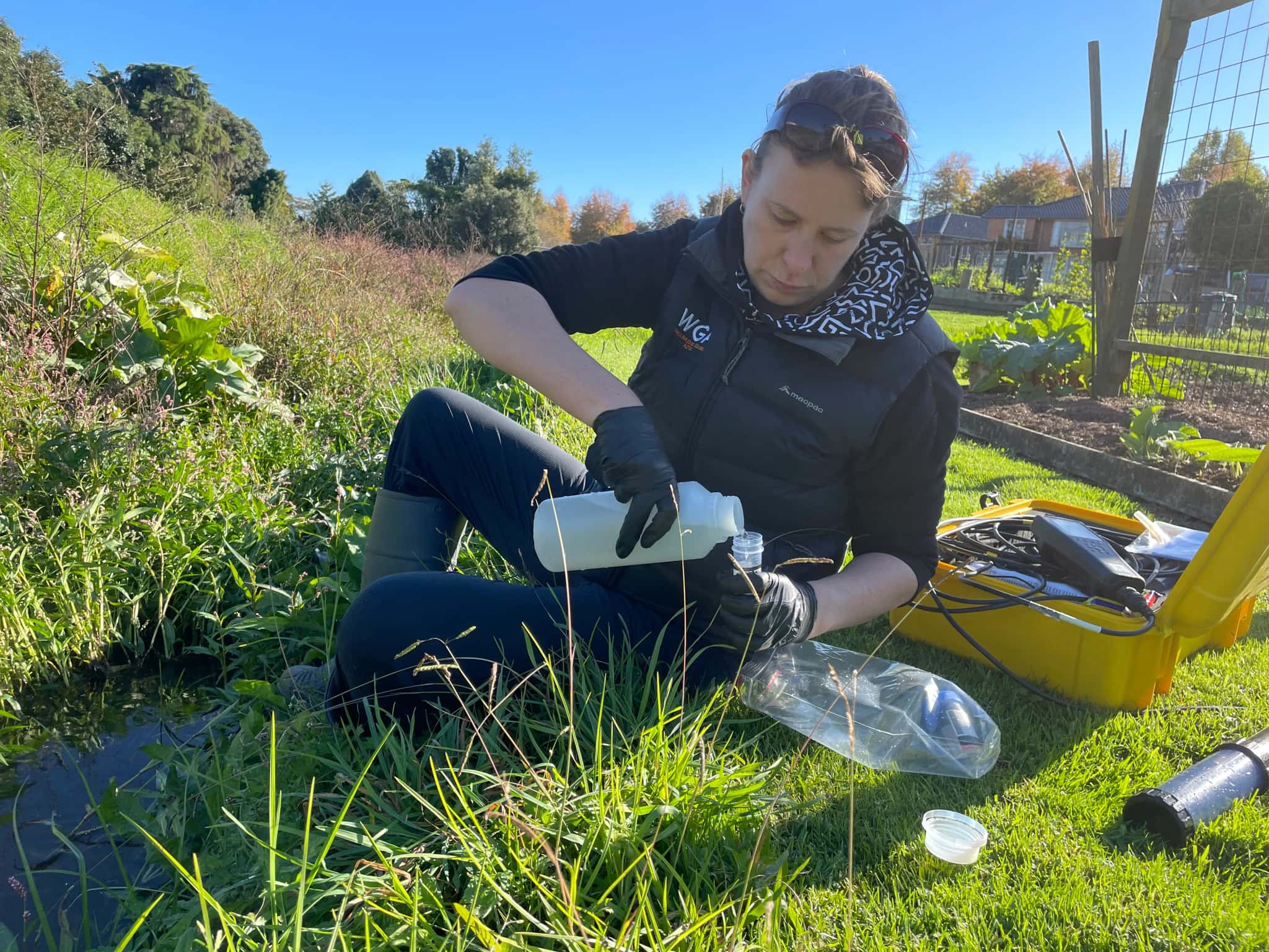
LDE provides hydrogeology across this part of Northland, characterising aquifers, building the conceptual models that explain how water moves through weathered and fractured ground, and assessing the saline-intrusion risk that comes with drawing water near the coast. We design and interpret aquifer tests, map groundwater quality, and give horticultural and community clients the science they need to use the resource safely and within consent.
This is groundwater investigation and assessment rather than drilling or reticulation, and it gives the Far North a clear picture of an aquifer system that is easy to overdraw and slow to recover. Talk to our Kerikeri team about your next project.
Send a Message
Enquire about your Kerikeri project
How our Kerikeri team delivers hydrogeology
Far North aquifers sit in weathered volcanic and sedimentary ground, often fractured and variable, so the first job is always to understand how and where the water moves. Our team characterises the aquifer, builds a conceptual model of recharge and flow, and assesses how much water can be taken before levels or quality suffer. Near the coast and on the islands, seawater intrusion is a constant question, so we look closely at how abstraction near the shore changes the salt-fresh balance.
This is the science that underpins our hydrogeology work nationally and supports water and natural resources clients across Northland who depend on a finite groundwater supply.
- Hydrogeological investigation and aquifer characterisation in fractured and weathered ground
- Conceptual groundwater models of recharge, flow and storage
- Aquifer testing design, interpretation and yield assessment
- Saline-intrusion and groundwater-quality assessment on coastal and island sites
Aquifers and water management in the Far North
Groundwater takes in the Far North are managed under Northland Regional Council regional plans, which set allocation limits and monitoring expectations for each aquifer. We frame our investigations and reporting to suit that framework and to national guidance on freshwater and groundwater.
- Ministry for the Environment national direction on freshwater management
- Water New Zealand good-practice guidance for groundwater and water resources
LDE hydrogeology in the Far North
LDE provides hydrogeology across the Far North, from aquifer characterisation and bore-yield assessment for horticulture and lifestyle development to groundwater-quality and saline-intrusion studies near the coast. As demand on small aquifers grows around Kerikeri and the Bay of Islands, much of our work is about quantifying what the resource can sustain and where it is most exposed to contamination or seawater. You can see more of our regional water delivery on the projects page.
Common questions about hydrogeology in the Far North
What does a hydrogeologist actually assess for a Far North bore?
We work out how the aquifer behaves: where it recharges, how water flows through the ground, how much can be drawn sustainably, and what the quality is. For a Kerikeri horticultural or lifestyle bore that usually means an aquifer test and a conceptual model, so a take can be supported and consented without harming the resource.
Why is saline intrusion a concern near the Far North coast?
Drawing fresh water from an aquifer close to the sea can pull saltwater in behind it, which slowly spoils the supply. We assess where the salt-fresh interface sits and how abstraction shifts it, so coastal and island bores can be managed before quality is lost.
Who carries out LDE’s hydrogeology in Kerikeri?
Hydrogeologists and Chartered Professional Engineers from our team, supported by LDE groundwater specialists across Northland and beyond.
How is hydrogeology different from drilling or installing a bore?
Drilling puts the bore in the ground; hydrogeology explains the aquifer the bore draws from. We design and interpret the testing, build the model of how the groundwater system works, and assess what it can sustain, so the people who drill, pump or consent the bore are working from sound science rather than guesswork.
Northland