Hydrogeology in Whangārei
Northland leans heavily on groundwater, and around Whangārei that means understanding aquifers in weathered basalt, fractured rock and the soft ground near the harbour. Hydrogeology is the science that explains how those aquifers recharge, how water moves through them, and how growth and contamination put them at risk. LDE provides hydrogeology across the district, characterising aquifers, building conceptual and numerical groundwater models, and assessing contamination and saline-intrusion risk where industry and the coast meet groundwater.
We design and interpret aquifer tests, investigate plumes from contaminated sites, map groundwater quality, and give councils, industry and developers the groundwater understanding they need to manage the resource and meet consent conditions. Fractured-rock aquifers are notoriously variable, so a sound conceptual model matters before any take or discharge is relied on. This work sits in the investigation and assessment space rather than reticulation or treatment, and it gives Whangārei a defensible picture of aquifers that support both supply and the wider environment.
Talk to our Whangārei team about your next project.
Send a Message
Enquire about your Whangārei project
How our Whangārei team delivers hydrogeology
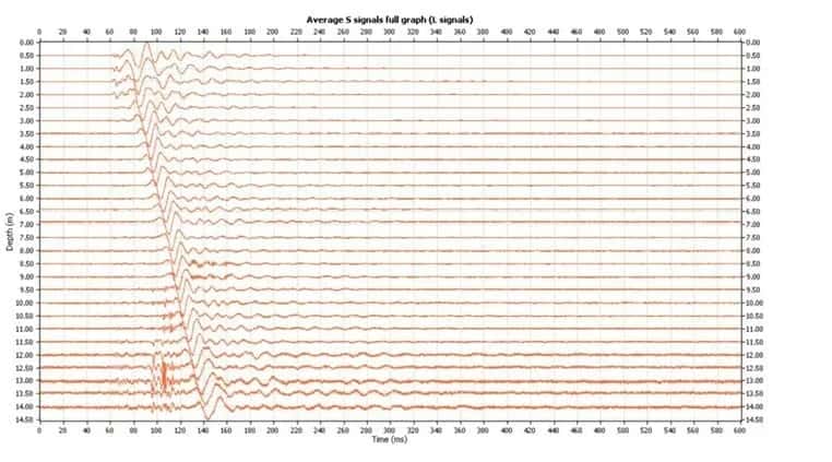
Aquifers around Whangārei range from fractured basalt to coastal and estuarine sediments, each behaving differently, so we start by characterising the system and building a conceptual model of how water enters, moves and leaves it. From there we can test the aquifer, estimate sustainable yield, and look at the two risks that dominate here: contamination from industrial and rural land use, and seawater intrusion near the harbour and coast.
It is the same hydrogeology capability behind our water and natural resources work across Northland, where groundwater quality and quantity both matter.
- Aquifer characterisation in fractured basalt and coastal sediments
- Conceptual and numerical groundwater flow models
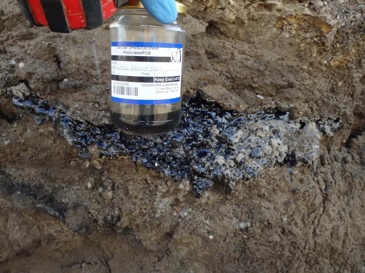
- Contaminant hydrogeology and plume assessment for industrial and rural sites
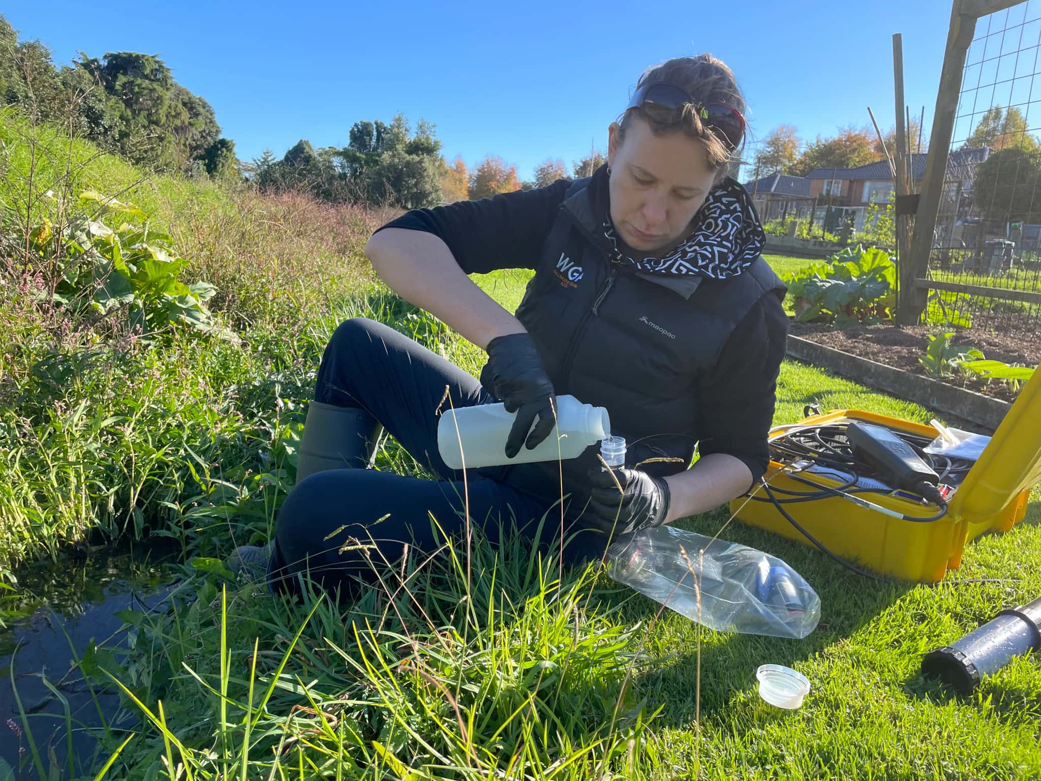
- Saline-intrusion and groundwater-quality investigation near the harbour
Aquifers and water management in Northland
Groundwater allocation, monitoring and discharge effects around Whangārei are managed under Northland Regional Council regional plans. We align our aquifer investigations, models and groundwater-quality reporting with that framework and with national freshwater direction.
- Ministry for the Environment national direction on freshwater and contaminated land
- Water New Zealand good-practice guidance for groundwater resources
LDE hydrogeology in Northland
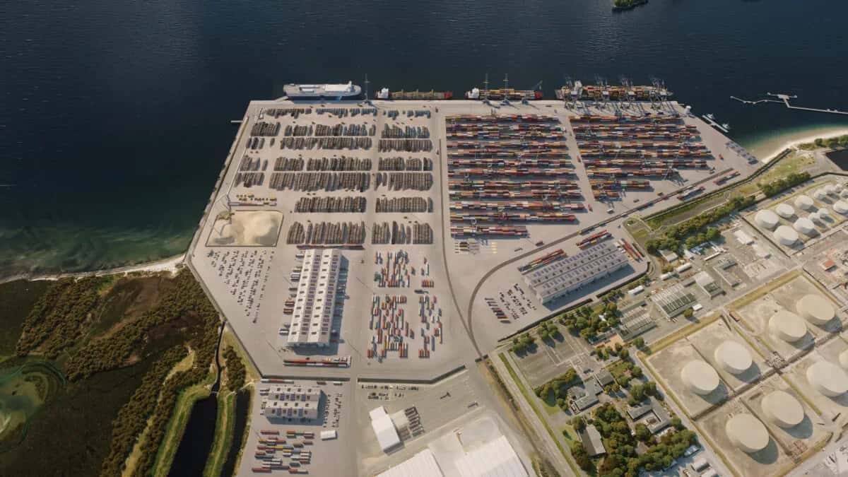
LDE provides hydrogeology across Northland, from aquifer characterisation and groundwater modelling for water supply to contaminant plume assessment on industrial sites around Whangārei. With growth in the Marsden Point and Northport corridor and pressure on coastal aquifers, much of our work is about quantifying how the groundwater system behaves and where it is vulnerable. You can see more of our regional water delivery on the projects page.
Common questions about hydrogeology in Northland
What is a conceptual groundwater model and why does it matter?
A conceptual model is a clear description of how an aquifer works: where it recharges, which way water flows, where it discharges, and what controls its quality. Around Whangārei it is the foundation for everything else, because a take, a discharge or a contamination assessment is only as reliable as the understanding of the aquifer behind it.
Can LDE assess groundwater contamination from a site?
Yes. We investigate how contaminants enter and move through an aquifer, map the extent of a plume, and assess the risk to bores and receiving environments. This contaminant hydrogeology work supports site management and consent conditions, and it draws on the same flow understanding we use for water supply.
Who carries out LDE’s hydrogeology in Whangārei?
Hydrogeologists and Chartered Professional Engineers from our Whangārei team, backed by the wider LDE groundwater network.
Do you build numerical groundwater models?
When a question needs it, yes. For larger aquifers or competing demands we build numerical models that simulate flow and, where relevant, contaminant transport, so the effects of abstraction or a discharge can be tested before they happen. For simpler cases a well-built conceptual model and aquifer test are often enough, and we match the tool to the question.
Northland