
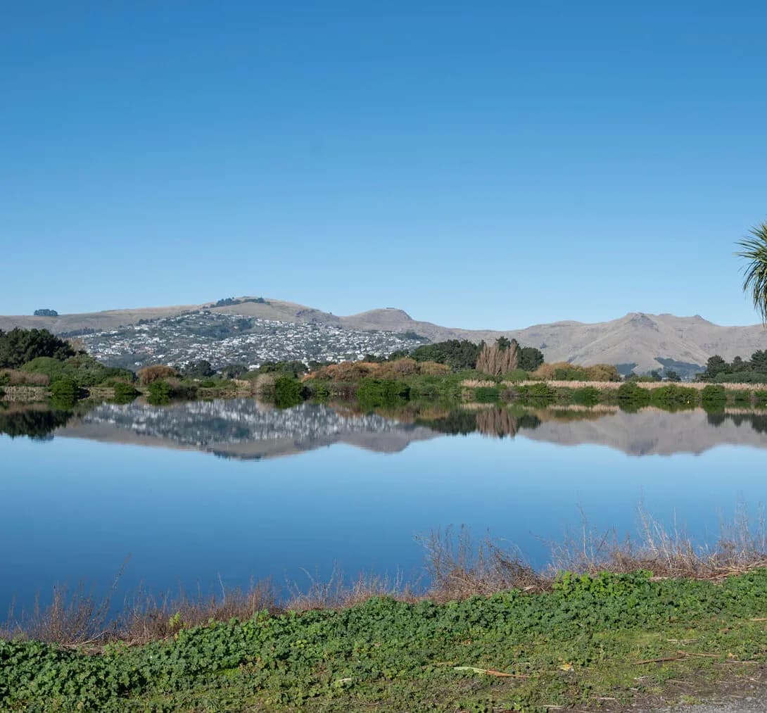
Integrated Catchment Management in Napier
Hawke’s Bay is a place where surface water and groundwater are unusually tightly linked, which puts catchment-scale thinking at the centre of water management. The Heretaunga Plains are watered by the Tūtaekurī, Ngaruroro and Karamū systems and underlain by the Heretaunga aquifer, while further south the Tukituki drains the Ruataniwha basin. Rivers recharge the aquifer, abstraction and land use affect both, and the region carries the recent lesson of severe flooding.
Managing this means treating rivers, groundwater, land use and water quality as one connected system, as the region’s catchment planning has set out to do. LDE brings an integrated catchment view to Hawke’s Bay, combining surface-water and groundwater modelling, flood and stormwater catchment planning, and land-use and water-quality analysis within the freshwater policy framework. We help councils, growers and developers understand how these catchments and the aquifer behave, and plan land and water use together.
For Napier clients, that means catchment management grounded in the connected water system of the plains.
How our Napier team delivers integrated catchment management
Catchment management in Hawke’s Bay turns on the link between rivers and the aquifer. On the Heretaunga Plains the Tūtaekurī, Ngaruroro and Karamū rivers recharge the groundwater that the region relies on, so surface water, groundwater, land use and water quality cannot sensibly be managed apart. Our team models these catchments and the surface-groundwater connection, maps flood behaviour on the plains, and assesses how land use affects flow and water quality, so the system is understood as a connected whole.
Bringing the surface-water, groundwater, flood and land-use picture together is the heart of the work, drawing on our wider integrated catchment management capability and our regional water experience across Hawke’s Bay.
- Catchment modelling of the Tūtaekurī, Ngaruroro and Karamū systems
- Surface-water and groundwater interaction across the Heretaunga aquifer
- Flood-hazard mapping and catchment stormwater planning on the plains
- Land-use and water-quality assessment for rivers and the aquifer
Freshwater planning in Hawke’s Bay
Freshwater across Hawke’s Bay is managed at the catchment scale by Hawke's Bay Regional Council, which sets the catchment limits, allocation and freshwater objectives, including the integrated planning for the Heretaunga catchments, that catchment work has to align with. That framework follows national freshwater direction, so we anchor our modelling and assessment in the relevant policy and good practice.
- Ministry for the Environment and the National Policy Statement for Freshwater Management
- Water New Zealand good-practice guidance for catchment and stormwater management
LDE catchment management in Hawke’s Bay
LDE applies integrated catchment thinking across Hawke’s Bay, from the Tūtaekurī, Ngaruroro and Karamū catchments and the Heretaunga aquifer to the Tukituki draining the Ruataniwha basin. With surface water and groundwater tightly linked and recent flooding still shaping local thinking, much of our work is about modelling the connected system and shaping land-use, flood and stormwater decisions so the rivers and aquifer hold up. You can see more of our regional water delivery on the projects page.
Common questions about integrated catchment management in Hawke’s Bay
Why are rivers and groundwater managed together here?
Because on the Heretaunga Plains the rivers recharge the aquifer that supplies much of the region, so what happens to one affects the other. Taking water from the river, changing land use, or altering flow all flow through to groundwater, which is why catchment management treats them as a single system.
How is this different from a groundwater abstraction assessment?
An abstraction assessment looks at one bore and its effects. Catchment management models the whole connected system of rivers, recharge and aquifer and sets the allocation and land-use picture that individual takes and developments then have to fit within, so the resource is managed across the catchment.
Who carries out LDE’s catchment work in Napier?
Chartered Professional Engineers and freshwater specialists from our team, backed by LDE modelling and planning specialists across New Zealand.
How does land use on the plains affect freshwater here?
Land use shapes both the quality of water entering the rivers and aquifer and the demand placed on them, so it is central to catchment outcomes. We model how different land-use scenarios change flow, recharge and water quality, which helps the region balance productive use with the health of the rivers and the Heretaunga aquifer.
Hawke's Bay
Recent projects in Hawke's Bay
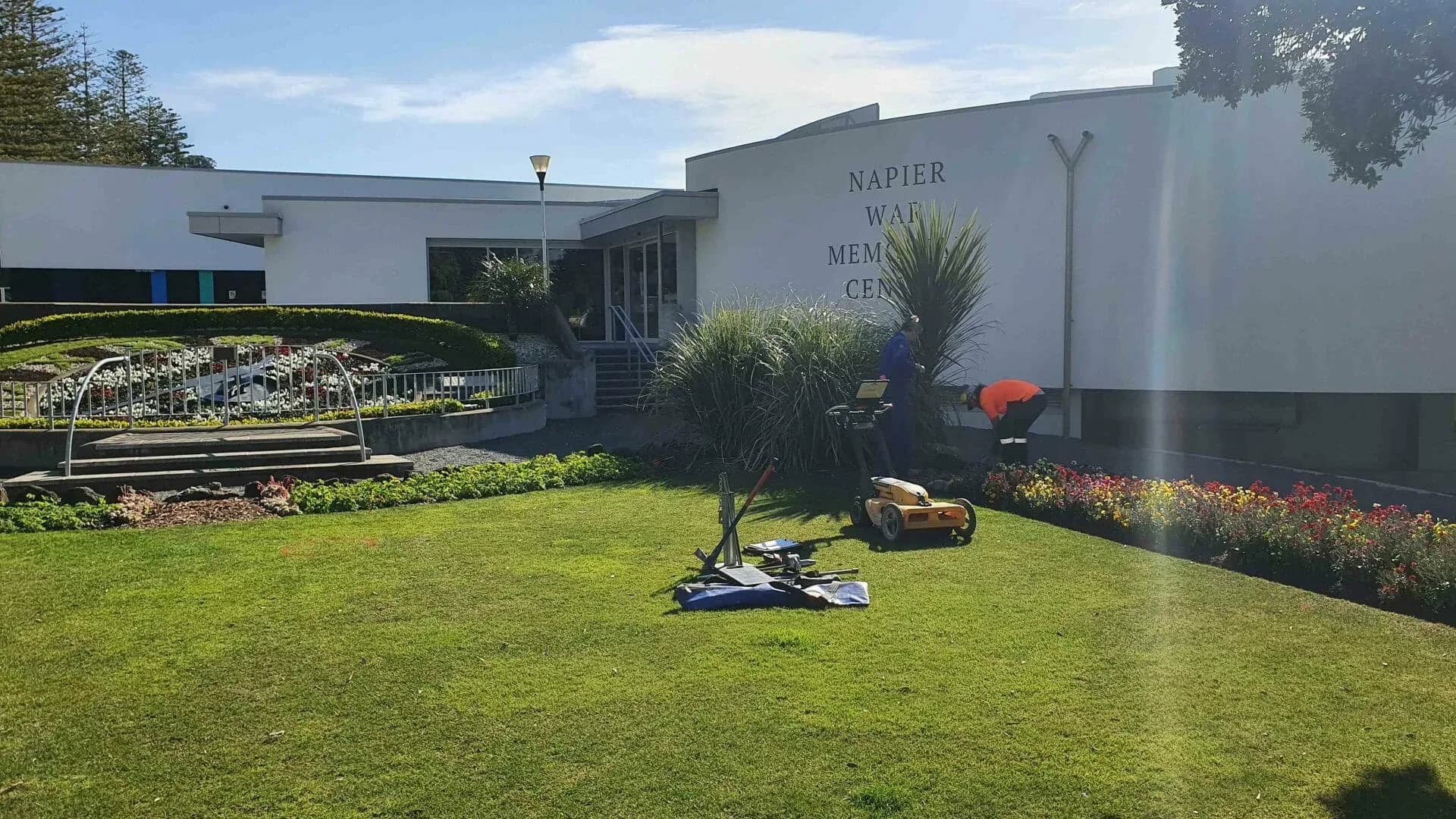
Napier War Memorial Restoration
Napier City Council c/- Designgroup Stapleton Elliot
Marine Parade, Napier
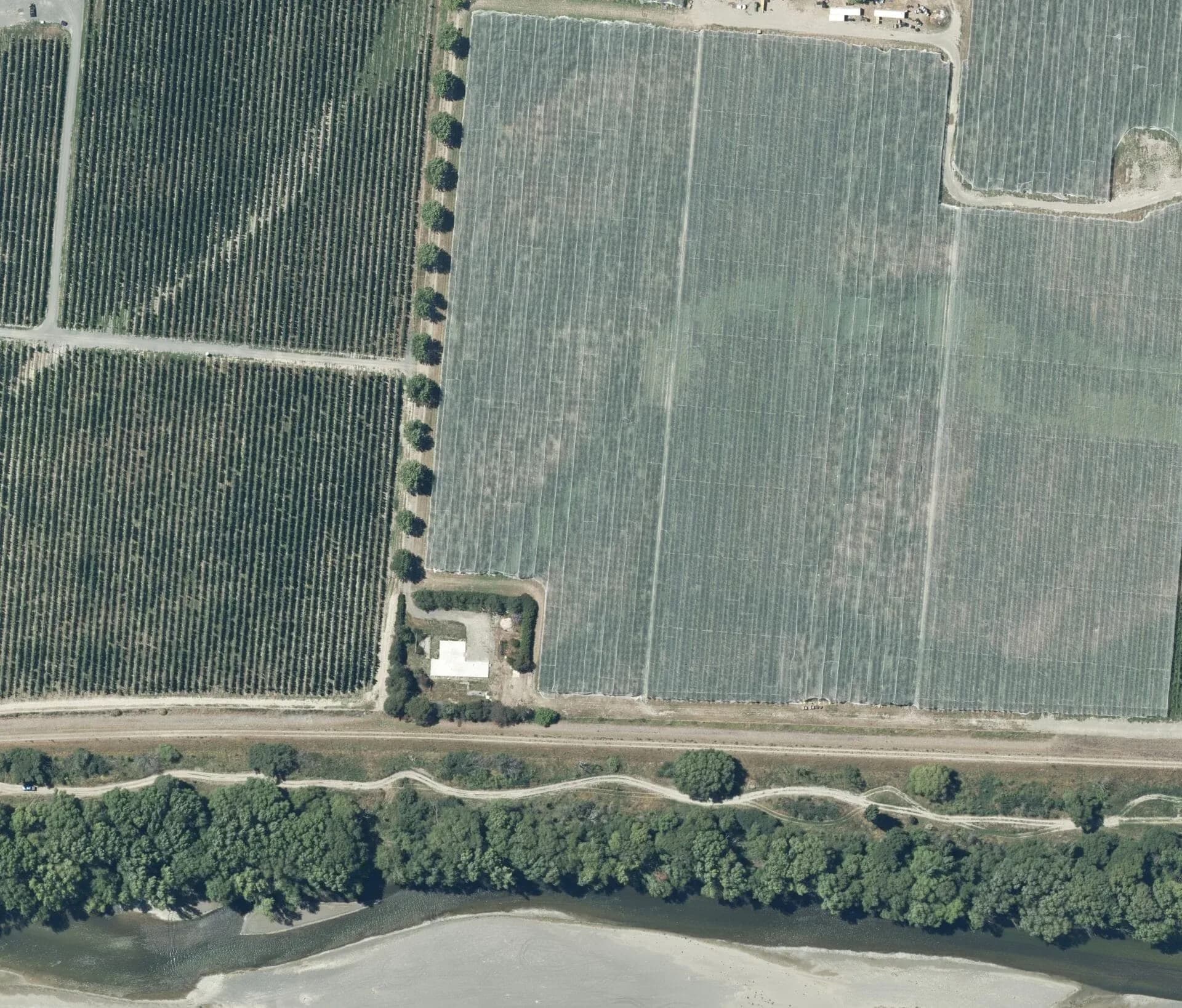
Hawke's Bay Stopbank and Flood Protection
Hawke's Bay Regional Council
Heretaunga Plains, Hawke's Bay
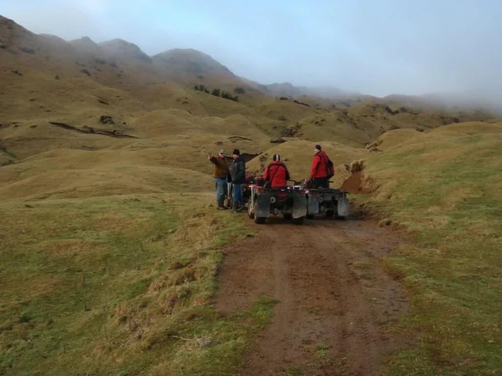
Harapaki Wind Farm Geotechnical Assessments
Meridian Energy
Te Pohue, Hawke's Bay
Contaminated Land Assessments at Hastings Site
Hastings