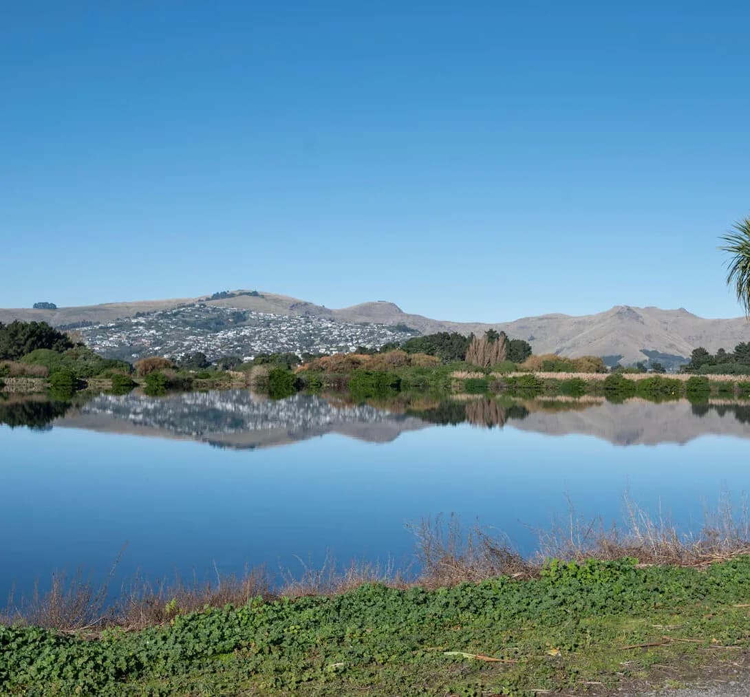
Integrated Catchment Management in Tauranga
Tauranga grows around a large, shallow harbour, and that harbour is the thread tying every catchment in the western Bay together. The Wairoa, Kopurererua and Waimapu catchments drain the city and its surrounds into Tauranga Harbour, while the Kaituna system carries the wider catchment to the coast further east.
Rapid subdivision, volcanic soils and sensitive estuarine receiving waters mean runoff, sediment and nutrients all need to be managed across whole catchments. LDE brings an integrated catchment view to the Bay of Plenty, combining surface-water and stormwater catchment modelling, flood-hazard assessment, and land-use and water-quality analysis within the freshwater policy framework.
We help councils and developers understand how the catchments respond to growth, plan land use and flooding together, and protect the harbour and estuaries downstream. For Tauranga clients, that means catchment management matched to one of the busiest growth fronts in the country, with the harbour kept firmly in view.
How our Tauranga team delivers integrated catchment management
Catchment management in Tauranga centres on the harbour and the rapid growth feeding into it. As subdivision spreads across the western Bay, runoff, sediment and nutrient loads shift across the Wairoa, Kopurererua and Waimapu catchments. Our team models these catchments, maps flood behaviour on volcanic ground and coastal margins, and assesses the load reaching Tauranga Harbour, so the catchments are understood as whole systems shaped by both rainfall and land-use change.
Pulling surface water, flooding and the land-use picture together is the heart of the work, and it draws on our wider integrated catchment management capability and our regional water experience across the Bay of Plenty.
- Catchment and stormwater modelling for fast-growing western Bay catchments
- Flood-hazard mapping on volcanic soils and coastal margins
- Sediment and nutrient load assessment for Tauranga Harbour
- Land-use and water-sensitive design strategy at catchment scale
Freshwater planning in the Bay of Plenty
Freshwater across the region is managed at the catchment scale by Bay of Plenty Regional Council Toi Moana, which sets the freshwater management units, limits and objectives that catchment work has to align with. That framework follows national freshwater direction, so we anchor our modelling and assessment in the relevant policy and good practice.
- Ministry for the Environment and the National Policy Statement for Freshwater Management
- Water New Zealand good-practice guidance for catchment and stormwater management
LDE catchment management in the Bay of Plenty
LDE applies integrated catchment thinking across the Bay of Plenty, from the Wairoa, Kopurererua and Waimapu catchments draining into Tauranga Harbour to the wider Kaituna system. As the region grows around the port, much of our work is about modelling how subdivision changes runoff, flooding and the load reaching the harbour, and shaping land-use and stormwater decisions to protect it. You can see more of our regional water delivery on the projects page.
Common questions about integrated catchment management in the Bay of Plenty
Why is the harbour central to catchment management in Tauranga?
Tauranga Harbour receives the drainage from most of the western Bay catchments, and it is shallow and sensitive, so its sediment and nutrient state reflects how those catchments are managed. Keeping the harbour healthy means managing the whole catchment, not just individual sites.
How is this different from the stormwater design for a subdivision?
Subdivision stormwater design handles one development. Catchment management models the whole catchment and sets the flood, sediment and nutrient targets that each development then has to meet, so the cumulative effect of fast growth stays within what the harbour can absorb.
Who carries out LDE’s catchment work in Tauranga?
Chartered Professional Engineers and freshwater specialists from our Bay of Plenty team, backed by LDE modelling and planning specialists nationally.
How does fast growth change a western Bay catchment?
Rapid subdivision converts pasture to hard surface, which increases runoff and the sediment and nutrient load while changing flood behaviour. We model these effects across the catchment and use the results to plan erosion control, stormwater treatment and land use, so the harbour is protected as the western Bay builds out.
Bay of Plenty