Transport Engineering in Christchurch
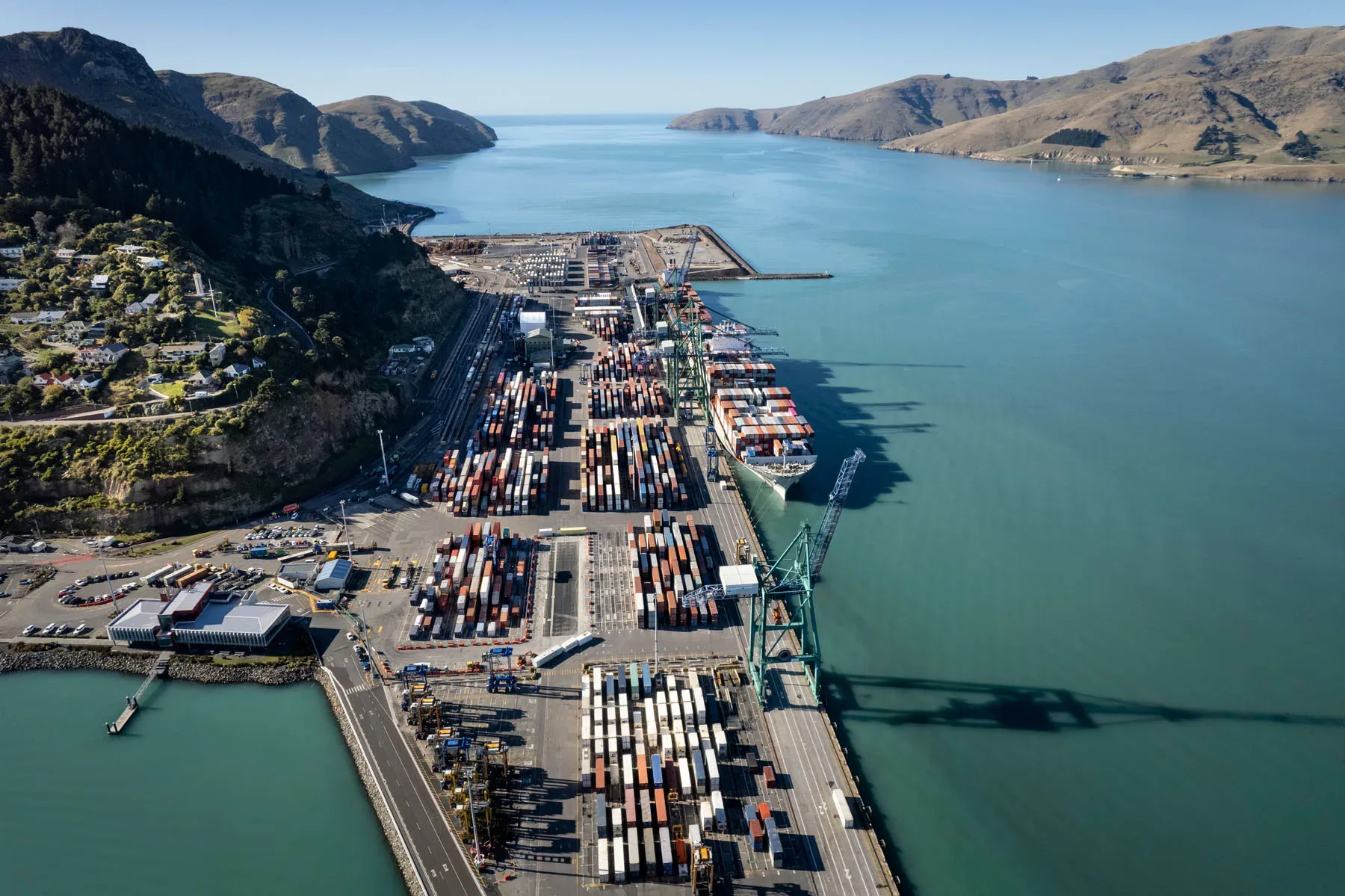
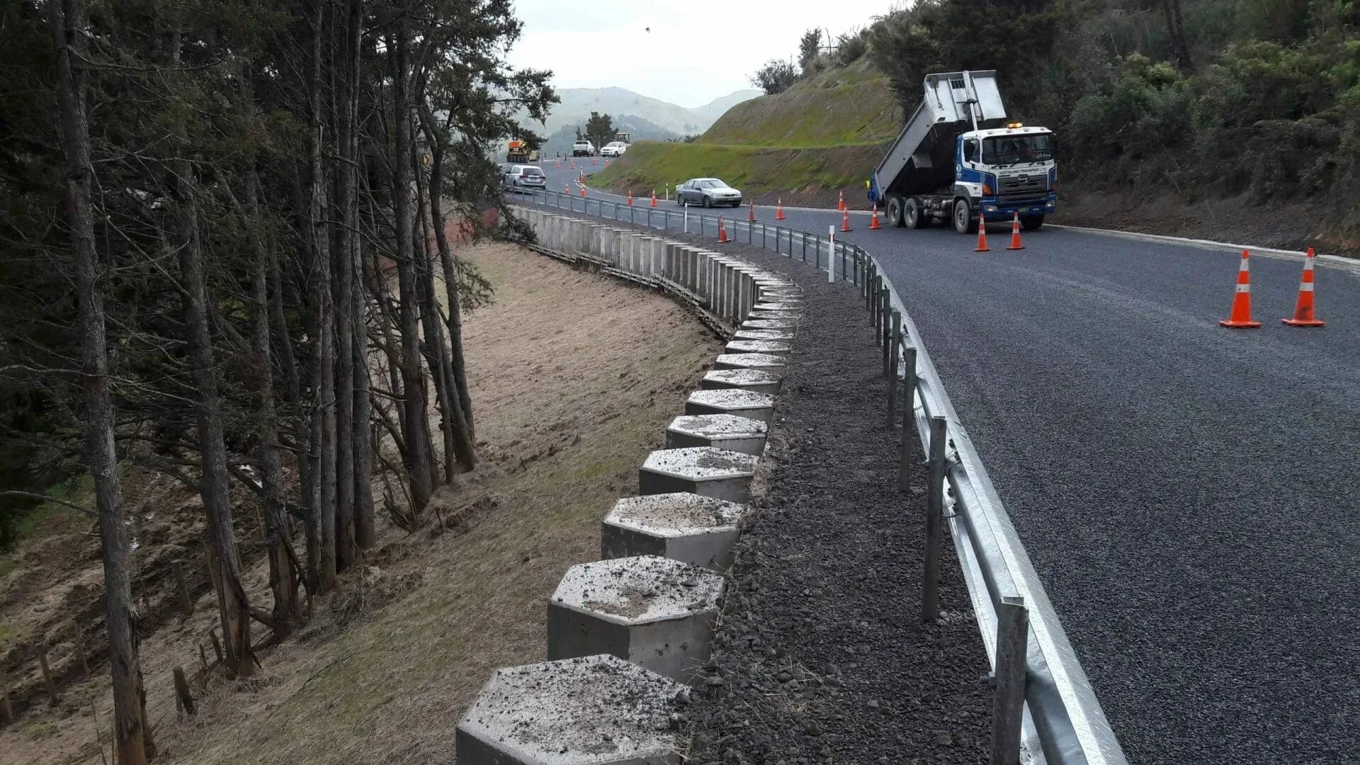
Christchurch’s transport network was reshaped by the earthquakes and the rebuild that followed. Central city streets were redesigned with slower speeds, wider footpaths and separated cycle lanes, while the Christchurch Northern and Southern Motorways and new arterial links pulled traffic around the city and out to the fast-growing towns of Selwyn and Waimakariri districts. Freight moves between Lyttelton Port, the airport, the inland ports and the industrial areas of the south-west, by rail or through the Lyttelton road tunnel. The flat terrain makes cycling practical, and a major cycleways programme has added separated routes across the suburbs. Ground conditions are part of the picture, since liquefaction damaged many eastern streets and new pavements still have to suit soft, variable ground. LDE provides transport engineering for this network, including integrated transport assessments, intersection and road design, road safety audits, parking and access design, and planning for walking, cycling and public transport. The advice helps developers, councils and landowners secure consents and build access that suits every user of the street, from freight operators to children on bikes.
Send a Message
Enquire about your Christchurch project
How LDE delivers transport engineering in Christchurch
A lot of Christchurch transport work starts with a development on the edge of the city or a change of use in the central city. On the fringe, the questions are how a new subdivision or business park connects to arterial roads and motorway interchanges, and whether nearby intersections can take the extra traffic. In the central city they are about servicing, parking supply, cycle and pedestrian access, and fitting into streets that already give priority to people walking and cycling. We model traffic, design intersections and accesses, and prepare the transport assessments that council and NZTA reviewers expect.
It is part of LDE’s national transport engineering service, working alongside our transport and urban development market teams on roads, subdivisions and commercial sites.
- Integrated transport assessments for subdivisions and commercial development
- Intersection, roundabout and signal design on urban and rural roads
- Road safety audits at concept, design and post-construction stages
- Cycleway, footpath and public transport access design
Transport planning and road controlling authorities in Canterbury
Christchurch City Council is the road controlling authority for local roads in the city and on Banks Peninsula, and its District Plan sets transport rules for parking, access, loading and high trip generating activities. State highways and the motorway network are managed by NZ Transport Agency Waka Kotahi. Environment Canterbury runs the Metro bus network and leads regional transport planning. We shape each assessment around the authority that will review it.
- NZ Transport Agency Waka Kotahi geometric design, traffic control and safety guidance
- Standards New Zealand parking, access and pavement standards
LDE transport engineering in Greater Christchurch
Transport commissions in Greater Christchurch cover a broad range. Residential subdivisions at Halswell, Belfast and the growing towns of Selwyn and Waimakariri need road layouts, intersection upgrades and walking and cycling links. Industrial and logistics sites near the airport, Hornby and the port need heavy vehicle access, turning paths and loading areas. Schools, retirement villages, supermarkets and medical centres need parking and access designs that pass council review. On the Port Hills and Banks Peninsula, narrow roads, steep grades and rockfall exposure make even small access changes more involved. The same skills serve developers, councils, network operators and property owners.
Common questions about transport engineering in Christchurch
When does a Christchurch development need an integrated transport assessment?
The District Plan requires one for activities that generate a lot of traffic, and the council often asks for one where access or parking does not meet the rules. The thresholds depend on the activity and its size, so we check them at the start and scope the assessment to match.
How does a cycleway affect access to my site?
A separated cycleway along your frontage changes where driveways can go, how vehicles cross the cycle lane and where loading can happen. We design accesses that keep sight lines clear for people on bikes and meet the council’s requirements for crossings on cycle routes.
Who leads LDE’s Christchurch transport work?
Chartered Professional Engineers from our team, supported by LDE transport specialists nationally.
Do ground conditions affect road and pavement design in Christchurch?
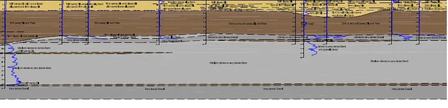
Yes. Much of eastern Christchurch sits on soft, liquefiable sands and silts, which damaged pavements, kerbs and pipes in the earthquakes. We work with LDE geotechnical engineers so that pavements, kerbs and drainage levels suit the ground and allow for settlement.