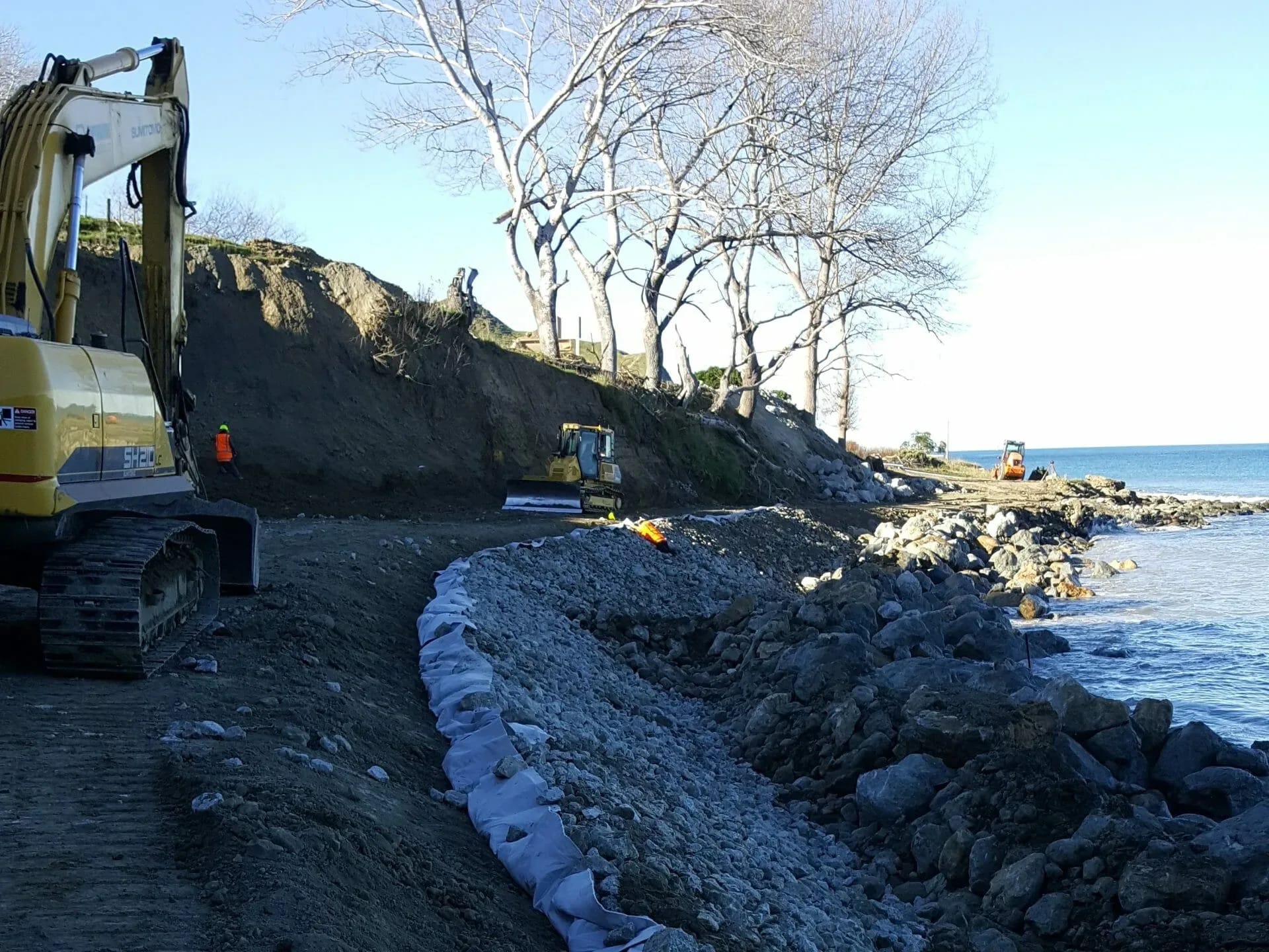
Coastal Engineering in Hamilton and the Waikato
Hamilton is an inland city, so coastal engineering from our Hamilton office means work on the Waikato region’s coast, which is long and varied. On the west, the Tasman Sea coast runs from Port Waikato, where the Waikato River meets the sea, south past Raglan and the Aotea and Kāwhia harbours. These are high-energy black-sand beaches with shifting harbour bars and dunes that can retreat quickly in storms. On the east, the Coromandel Peninsula and the Firth of Thames face the Hauraki Gulf, with busy beach towns, sheltered estuaries and low-lying land around Thames that relies on stopbanks and seawalls. The 2023 ex-tropical cyclones showed how exposed Coromandel roads and settlements are to severe weather. LDE provides coastal and marine engineering across this coast, including erosion and inundation assessment, seawall and revetment design, boat ramp and wharf assessment, and advice on adaptation and managed retreat. Hamilton sits between the two coasts, which makes it a practical base for site work on either side of the region.
Send a Message
Enquire about your Hamilton project
How LDE delivers coastal engineering in Hamilton and the Waikato
The two Waikato coasts need different approaches. The west coast is dominated by swell from the Tasman Sea, so the main questions are how far the dunes and soft cliffs will retreat and whether a structure can survive the wave energy at all. On the Coromandel and around the Firth of Thames the waves are smaller, but the land behind many beaches and estuaries is low, so storm surge, tidal flooding and sea-level rise drive the design. We measure shoreline change from historical aerial photographs and survey, set design water levels, and then compare protection, adaptation and retreat options with the client.
The service draws on LDE’s national coastal and marine engineering team and connects with our ports, marine and coastal and urban development work, where coastal subdivisions and settlements need hazard advice before they are designed.
- Dune and cliff erosion assessment on the west coast from Port Waikato to Kāwhia
- Inundation and sea-level rise assessment for Coromandel and Firth of Thames settlements
- Seawall, revetment and boat ramp design and condition assessment
- Coastal hazard input to subdivision, resource consents and adaptation planning
Coastal consenting across the Waikato region
Waikato Regional Council manages the coastal marine area under the Waikato Regional Coastal Plan, so coastal permits for seawalls, ramps, wharves and foreshore works are lodged with it. Hamilton City Council has no coastline, so the land-side consents for a coastal site go to the district council where it sits, such as Thames-Coromandel or Waikato District. Our assessments address both sets of rules and the New Zealand Coastal Policy Statement.
- Ministry for the Environment coastal hazards guidance for councils and landowners
- Maritime New Zealand navigation and bar crossing safety
- Natural Hazards Commission Toka Tū Ake research on coastal and storm hazards
LDE coastal engineering on the Waikato coast
Coastal projects in the region are often small in footprint but awkward in logistics: a failing wall in front of a beach settlement, a boat ramp that has lost its toe, a road running along an eroding cliff, or a subdivision on a dune that needs a hazard setback. Access, tidal windows and remote sites all shape how the work is planned. Larger commissions include hazard assessments for a whole stretch of coast and condition surveys of a council’s coastal assets. The people commissioning this work are usually district and regional councils, iwi and hapū, community groups, landowners and developers, and the operators of roads and marinas.
Common questions about coastal engineering in the Waikato
Does LDE work on the coast from an inland office in Hamilton?
Yes. Hamilton sits between the two Waikato coasts, and most site visits to Raglan, Port Waikato or the Firth of Thames are day trips. Coastal specialists elsewhere in LDE join the work when a project needs them.
Why is erosion on the Waikato west coast so hard to manage?
The west coast takes the full energy of Tasman Sea swell, and its sand dunes and soft cliffs can lose metres of ground in a single storm. Hard protection is expensive and can shift erosion further along the beach, so we often weigh it against setbacks, dune restoration or relocating assets.
Who leads LDE’s Waikato coastal work?
Chartered Professional Engineers from our team, supported by LDE coastal and marine specialists nationally.
What sea-level rise should a Coromandel project allow for?
That depends on the asset and how long it has to last. We apply the national sea-level rise scenarios, adjusted for local land movement, and check the design against several possible futures instead of one number, so the owner can see when adaptation will be required.