Hydrogeology in Hamilton
Groundwater in the Hamilton basin moves through the Hinuera Formation, the sands, gravels and silts laid down by the ancestral Waikato River, and through the ash and peat that overlie it in places. The water table is shallow in the low-lying parts of the city, peat lakes such as Rotokauri and Waiwhakareke depend on it, and the gully streams and the Waikato River receive groundwater as baseflow. Across the wider region, dairying adds nitrate to shallow groundwater that eventually reaches streams and the river, whose health is protected by Te Ture Whaimana o Te Awa o Waikato, the Vision and Strategy for the Waikato River. LDE provides hydrogeology for projects in Hamilton and across the Waikato. We characterise aquifers and peat, build conceptual and numerical groundwater models, design and interpret aquifer tests, and assess groundwater quality, including nitrate and contaminant movement. That gives developers, farmers, industry and councils a clear picture of how drainage, dewatering, soakage or a new take will change groundwater levels and quality before the regional council is asked to consent it.
Send a Message
Enquire about your Hamilton project
How LDE delivers hydrogeology in Hamilton
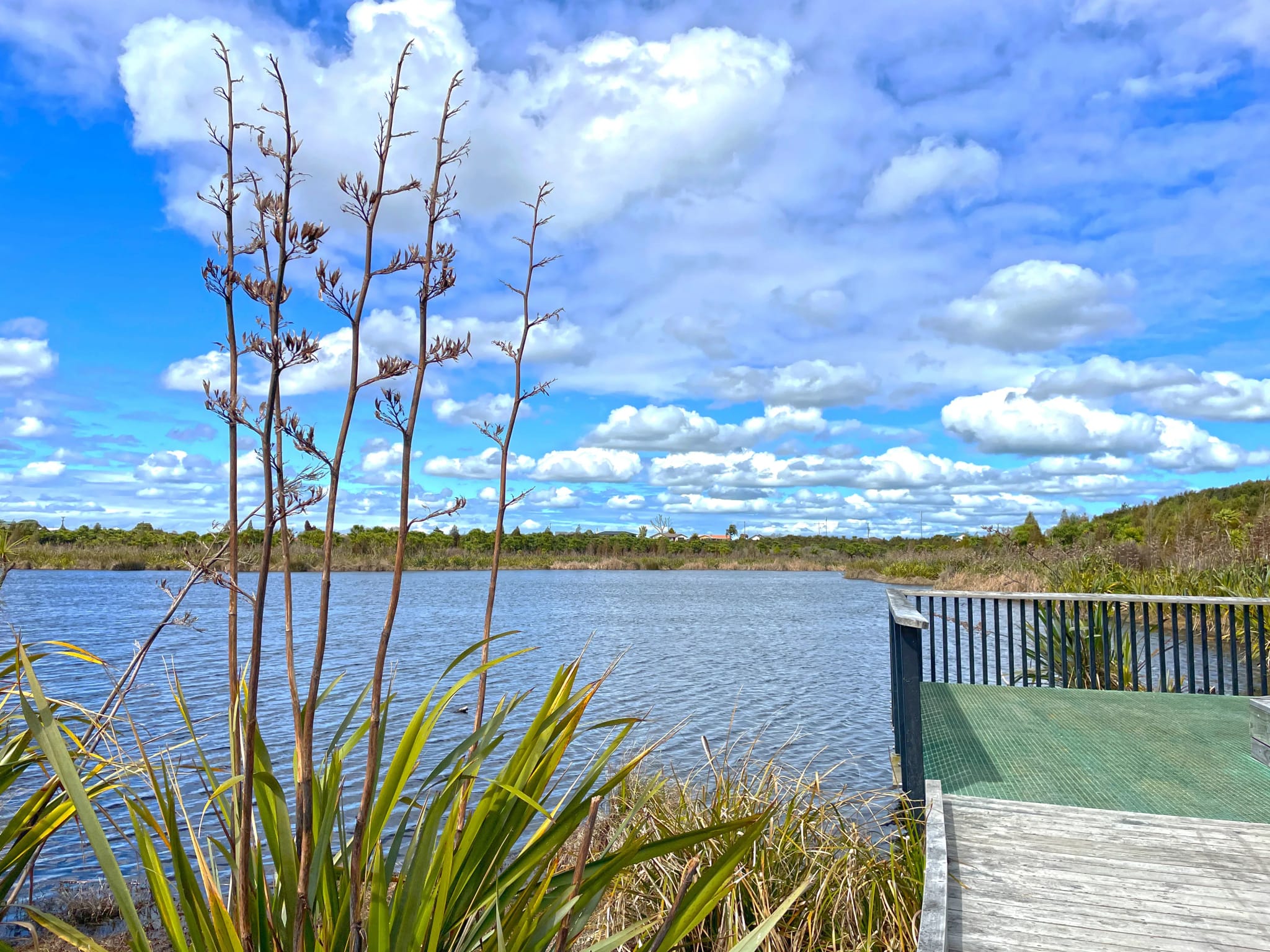
Peat and shallow groundwater drive much of the hydrogeology in and around Hamilton. When a development drains land, dewaters an excavation or seals large areas with roofs and roads, the water table in nearby peat can drop, and peat that dries out shrinks and oxidises and does not recover. We install monitoring bores, measure seasonal groundwater levels, and model how the works change the water table so that peat lakes, wetlands and neighbouring structures are protected. On the sandier Hinuera terraces, the same data sets the design groundwater level for stormwater soakage.
It is the same hydrogeology capability behind our water and urban development work across New Zealand.
- Characterisation of Hinuera Formation aquifers and the overlying peat and ash
- Groundwater level monitoring and seasonal high groundwater assessment
- Numerical modelling of drainage, dewatering and soakage effects on peat and lakes
- Nitrate and contaminant transport assessment for farm and industrial sites
Groundwater regulation in the Waikato
Waikato Regional Council manages groundwater takes, bores, dewatering and discharges to land under the Waikato Regional Plan, and sets the limits that groundwater allocation and quality are measured against. Hamilton City Council controls land use and development in the city, including the soakage and drainage that change local groundwater. Groundwater feeds the river’s tributaries, so an assessment also has to show how the project fits Te Ture Whaimana, which the Waikato River Authority looks after. We build our monitoring and models to answer both councils.
- Ministry for the Environment freshwater national direction, including the protection of wetlands
- Water New Zealand technical guidance on groundwater and stormwater practice
LDE hydrogeology in the Waikato
Hydrogeology work in the Waikato tends to come from three directions. Urban growth at Rotokauri, Peacocke and Ruakura brings questions about seasonal groundwater levels, soakage capacity, the effect of drainage on peat and the risk to wetlands and lakes. Farming brings questions about nitrate leaching, effluent disposal to land and water supply bores. Industry and infrastructure bring dewatering for deep excavations, contaminated groundwater beneath older sites, and the effect of takes on the gully streams and the river. Clients include developers, farm owners, industrial operators, engineers and councils.
Common questions about hydrogeology in the Waikato
What are the Hinuera Formation aquifers?
The Hinuera Formation is a sequence of sands, gravels and silts, rich in volcanic material, laid down across the Hamilton basin by the ancestral Waikato River. Its coarser layers hold and transmit groundwater and supply bores across the region, while finer layers slow flow between them. Properties change over short distances, so we rely on site drilling and testing rather than assuming regional values.
How do I find the seasonal high groundwater level on a Hamilton site?
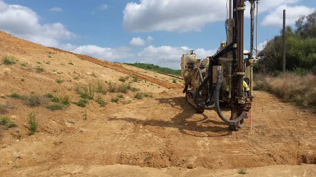
By measuring it. We install piezometers early, record levels through at least one winter where the programme allows, and compare them with regional monitoring records to estimate a design high level. That value drives soakage design, basement and foundation decisions and the depth of services, so it pays to start monitoring early.
Can a development near a peat lake change its water level?
It can. Drainage, dewatering and new impervious surfaces can lower the water table in the peat around a lake and cut off the groundwater that feeds it. We model the change for the construction period and for the finished development, and recommend measures such as trench plugs that stop service trenches acting as drains, controlled drainage and soakage to hold groundwater levels up.
Who leads LDE’s Waikato hydrogeology work?
Hydrogeologists and engineers from our team, supported by LDE specialists nationally.