Rivers, Streams and Wetlands in Hamilton
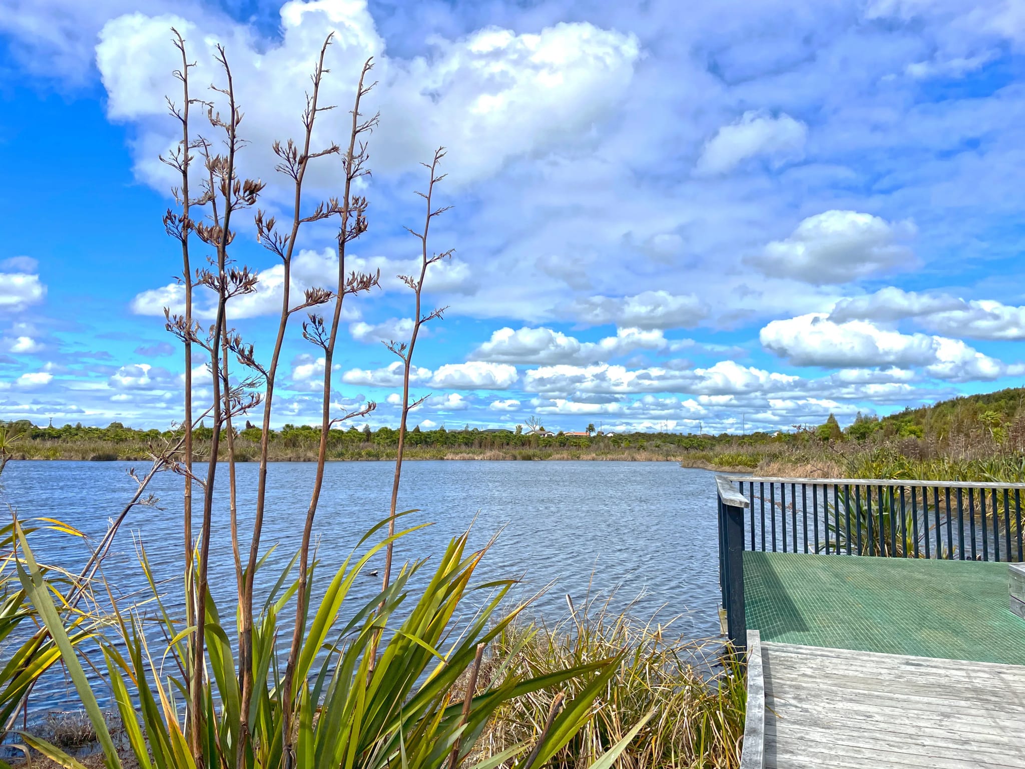
The Waikato River, New Zealand’s longest, runs through the middle of Hamilton, and much of the city drains to it through a branching network of steep-sided gullies. Those gullies carry streams such as the Kirikiriroa, the Mangakōtukutuku and the Mangaonua, many of them degraded by past clearance, weeds and urban stormwater and now the focus of restoration planting. On the city’s north-western edge, the peat lakes Rotokauri and Waiwhakareke sit in shallow basins where drainage and nutrient runoff put water quality at risk. Downstream, the Waipā River joins the Waikato at Ngāruawāhia, and the lower river receives the Whangamarino, a Ramsar-listed wetland and one of the largest in the North Island. Work affecting the river must give effect to Te Ture Whaimana o Te Awa o Waikato, the Vision and Strategy for the Waikato River, which puts the restoration and protection of the river’s health first. LDE provides stream and wetland design, gully stabilisation and restoration, stormwater and flood assessment, fish passage and freshwater ecology, and consenting support for councils, developers and landowners across Hamilton and the Waikato.
Send a Message
Enquire about your Hamilton project
How LDE delivers rivers, streams and wetlands work in Hamilton
Hamilton’s gullies are the main pathway for stormwater from the suburbs to the Waikato River, and the pumice-rich Hinuera sands and ash in their walls wash out quickly when flows increase. Much of our work is about keeping that system stable as the city grows: sizing stormwater devices so new development does not raise peak flows, stabilising eroding gully banks and outlets, and shaping stream channels that give fish and invertebrates somewhere to live. In the peat country around Rotokauri the focus shifts to groundwater, because a lower water table shrinks peat and starves the lakes and wetlands it supports.
It is part of LDE’s national rivers, streams and wetlands service, and it links with our water and urban development work in the growth areas at Peacocke, Rotokauri and Ruakura.
- Gully stream stabilisation and outlet erosion protection
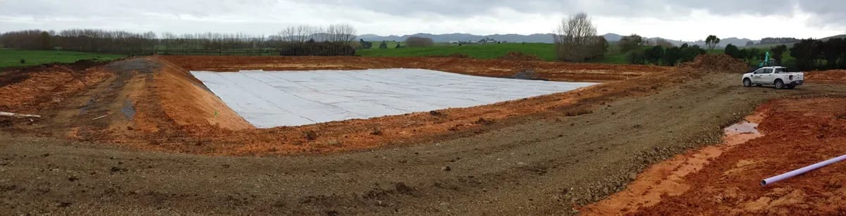
- Stormwater wetland, swale and pond design for greenfield growth areas
- Peat lake and wetland hydrology and restoration assessment
- Fish passage and freshwater ecology surveys at culverts and outfalls
Freshwater consenting in the Waikato
Waikato Regional Council manages freshwater through the Waikato Regional Plan, including consents for stream works, wetland disturbance, culverts and stormwater discharges, and it holds the flood hazard information for the river. Hamilton City Council runs the city’s stormwater network and council-owned gullies and sets development rules through its District Plan, with catchment management plans guiding stormwater in the growth areas. Any application affecting the river also has to show how it gives effect to Te Ture Whaimana.
- Ministry for the Environment freshwater policy and wetland regulations
- Water New Zealand guidance on stormwater and water-sensitive design
- Natural Hazards Commission Toka Tū Ake flood and landslide hazard research
LDE rivers, streams and wetlands work in Hamilton and the Waikato
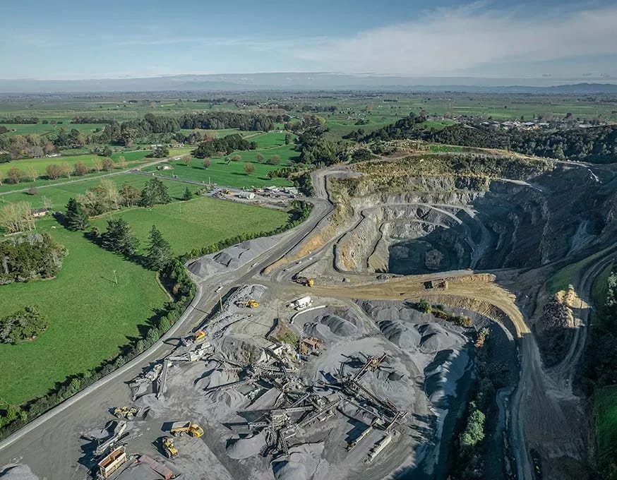
In Hamilton the typical commission is tied to growth. Structure plans for the new suburbs keep gullies as green corridors, so developers need stormwater design, gully edge setbacks and ecological assessment before earthworks begin. Parts of Peacocke are also habitat for long-tailed bats, which affects lighting and vegetation along the gullies. In established suburbs the brief is more often an eroding outlet, a failing gully slope behind houses, or a culvert that blocks fish movement. Beyond the city, rural and peri-urban work includes wetland creation, drain realignment, lake margin restoration and assessments for farms and quarries near waterways. This work comes from councils, developers, landowners, iwi and community restoration groups.
Common questions about rivers, streams and wetlands in Hamilton
What is Te Ture Whaimana and how does it affect my project?
Te Ture Whaimana o Te Awa o Waikato is the Vision and Strategy for the Waikato River, set in legislation through the Waikato River settlements. Resource consents affecting the river and its catchment must give effect to it, so an application needs to show how the work helps restore and protect the health of the river.
Why do Hamilton gullies erode after development?
Hard surfaces send more water, faster, into gully streams. The pumice sands in the gully walls are easily washed out, so outlets and stream banks undercut and slump. Controlling flow at source, and armouring outlets where piped flow enters the gully, prevents most of this damage.
Who leads LDE’s Hamilton rivers and wetlands work?
Chartered Professional Engineers and ecologists from our team, supported by LDE specialists nationally.
Can peat lakes like Rotokauri be protected when land nearby is developed?
Yes, with care. The main risks are lowered groundwater, which shrinks peat and dries out the lake margin, and nutrient-rich runoff. We assess groundwater and surface water together, then design stormwater and drainage to keep water levels stable and treat runoff before it reaches the lake.