
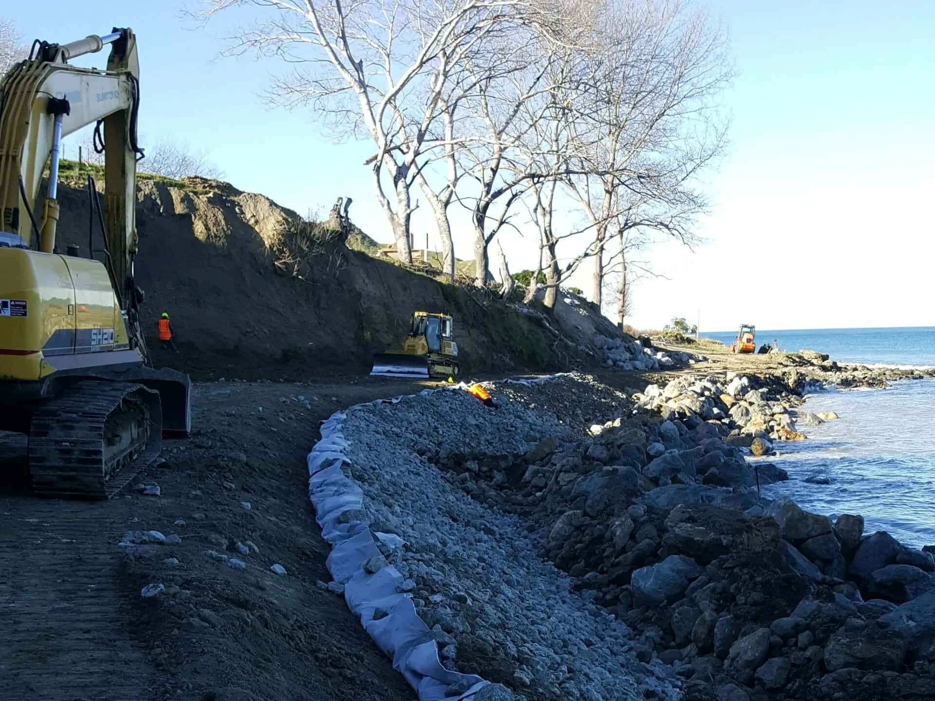
Coastal Engineering in Whakatāne
The Eastern Bay of Plenty coast meets the land where the Whakatāne, Rangitāiki and Tarawera rivers reach the sea, and that river-mouth setting defines its coastal engineering. Open-coast beaches face Bay of Plenty swell, the river entrances need training and protection works, and the low-lying Rangitāiki Plains behind them are exposed to both coastal inundation and river flooding.
LDE’s Whakatāne team brings coastal and marine engineering to this demanding edge, with seawall and revetment design, coastal erosion and hazard assessment, river-mouth and foreshore structures, and sea-level-rise and surge resilience for low coastal land. We help councils, landowners and infrastructure operators manage a coast where river and sea meet.
For Whakatāne and the wider Eastern Bay, that means coastal advice rooted in how this distinctive shoreline really behaves.
Send a Message
Enquire about your Whakatāne project
How our Whakatāne team delivers coastal engineering
The Eastern Bay coast is shaped by river mouths and low, exposed beaches, so coastal work here blends open-coast erosion with river-entrance and inundation problems. Our Whakatāne team assesses wave, surge and erosion exposure, then designs seawalls, revetments and foreshore structures suited to a coast where rivers, dunes and the sea interact. Behind the beaches, we factor coastal inundation into the design of low-lying land on the Rangitāiki Plains.
It is the same coastal and marine engineering capability we apply to ports and marine projects, alongside the water and flood experience this coast demands.
- Coastal erosion and hazard assessment on Eastern Bay beaches
- Seawall and revetment design on low, exposed open coast
- River-mouth and foreshore-structure design where rivers meet the sea
- Coastal inundation and sea-level-rise planning on the Rangitāiki Plains
Coastal hazards and consenting in the Eastern Bay
Coastal work around Whakatāne is shaped by Bay of Plenty Regional Council Toi Moana coastal plans and natural-hazard rules, with consents through Whakatāne District Council. We design to that framework and to national coastal policy.
- Natural Hazards Commission Toka Tū Ake coastal erosion and inundation research
- Ministry for the Environment coastal hazard and RMA guidance
- Maritime New Zealand navigation and river-entrance safety
LDE on the Eastern Bay coast
We bring coastal and marine engineering to the Eastern Bay’s river-mouth and open-coast settings, from foreshore protection on eroding beaches to structures where the rivers meet the sea. You can explore more of our regional delivery on the projects page, and read about our ports and marine capability nationally.
Common questions about coastal engineering in the Eastern Bay of Plenty
What makes the Whakatāne coast difficult to engineer?
River mouths, low exposed beaches and flood-prone land behind them all interact here, so coastal structures and erosion protection have to account for river flows and sea conditions together rather than separately.
How do coastal and river flooding combine on the Rangitāiki Plains?
The plains are low and sit behind the coast, so high seas and storm surge can hold back river drainage and worsen flooding. We factor coastal water levels into how low-lying land and its protection are designed.
Who leads LDE’s Eastern Bay coastal work?
Chartered Professional Engineers from our team, supported by LDE specialists across the Bay of Plenty and nationally.
Can LDE design protection at a river entrance?
Yes. River entrances need works that manage both the river flow and coastal wave and surge action, so we assess the combined conditions and design training, revetment or bank protection to suit. On an Eastern Bay coast defined by its river mouths, this combined view is essential to getting durable, consentable protection.
Bay of Plenty
Recent projects in Bay of Plenty
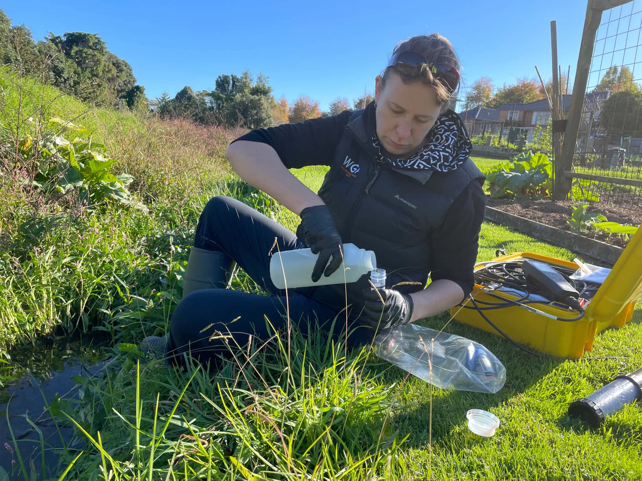
Ōmokaroa Geothermal Take and Discharge

Pillans Point Primary School, Tauranga
Tauranga
.webp&w=2048&q=60)
Pāpāmoa Retail Development
Bluehaven Group
Pāpāmoa, Bay of Plenty
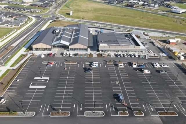
Pāpāmoa New World Supermarket
Bluehaven Group
Pāpāmoa, Bay of Plenty
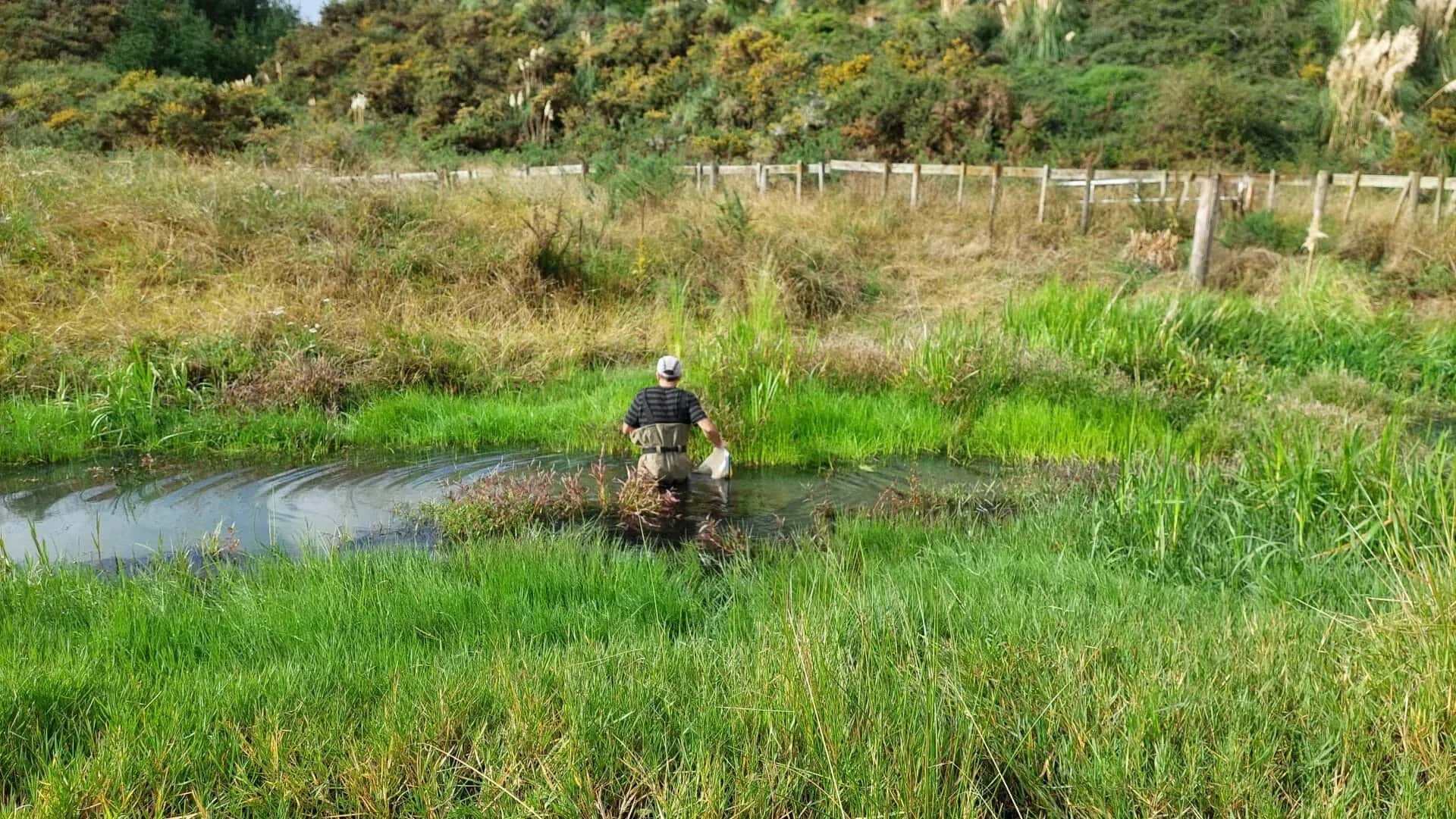
Freshwater Ecology for Waiū Dairy
Waiū Dairy Ltd
Kawerau, Bay of Plenty
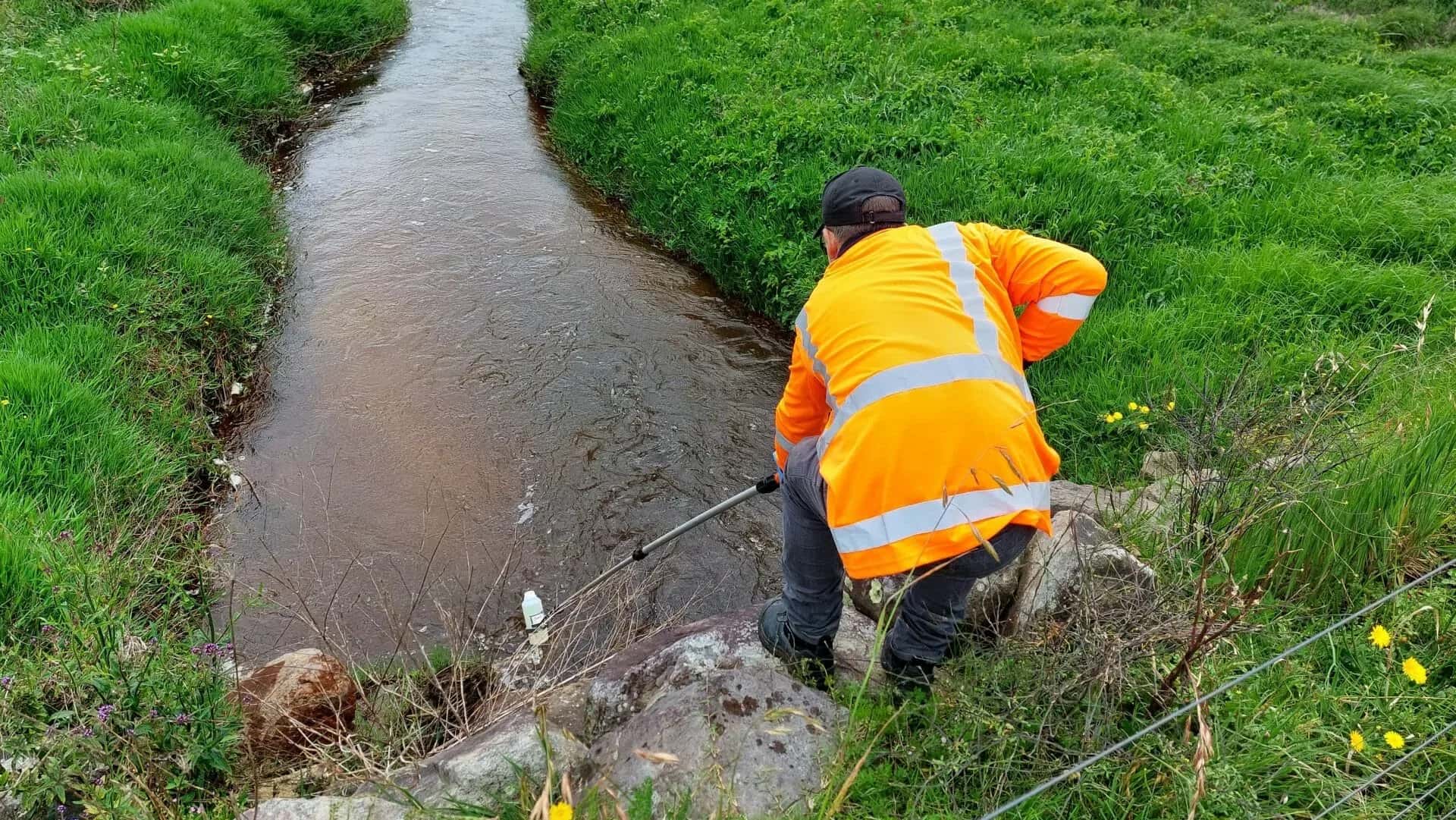
Environmental Compliance for Waiū Dairy
Waiū Dairy Ltd
Kawerau, Bay of Plenty