
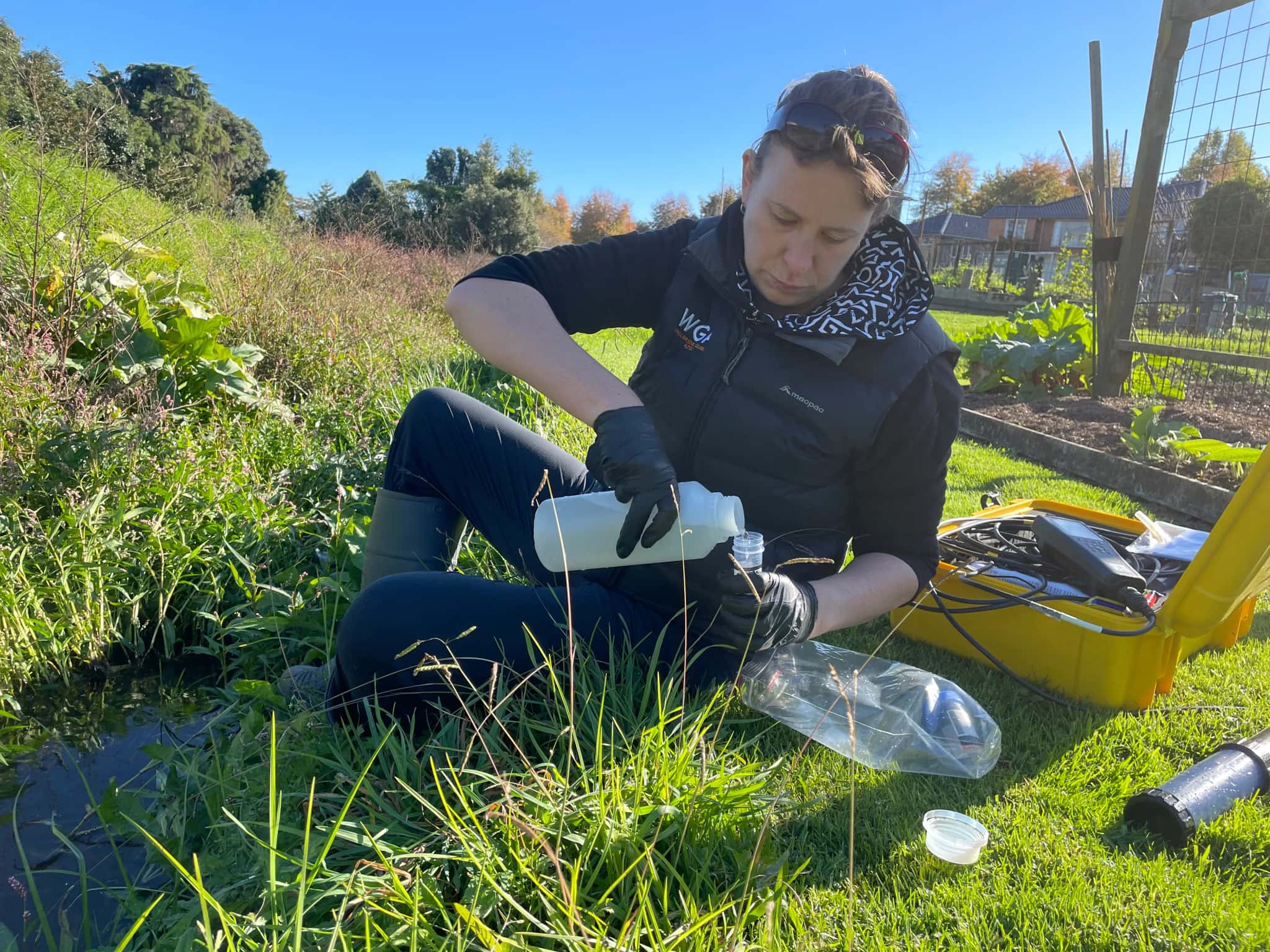
Hydrogeology in Whakatāne
The Rangitāiki Plains hold some of the most productive land in the Eastern Bay of Plenty, and shallow groundwater sits close beneath all of it. Hydrogeology is the science of understanding that groundwater: how the plains aquifers recharge, how a high water table interacts with drainage and the coast, and how farming and growth affect quality.
LDE provides hydrogeology across the Eastern Bay, characterising the alluvial and volcanic aquifers of the plains, building conceptual groundwater models, and assessing recharge, nutrients and saline-intrusion risk near the coast. We design and interpret aquifer tests, study groundwater quality, and give councils, growers and communities the understanding they need to manage a resource that is shallow, productive and easily affected.
This is investigation and assessment rather than drainage or reticulation engineering, and it gives the Eastern Bay a clear picture of the aquifers under the plains. Talk to our Whakatāne team about your next project.
Send a Message
Enquire about your Whakatāne project
How our Whakatāne team delivers hydrogeology
On the Rangitāiki Plains the water table is shallow and the aquifers are productive, so understanding how groundwater recharges and moves is central to managing the land. Our team characterises the alluvial and volcanic aquifers of the plains, builds a conceptual model of recharge, flow and the link to drainage and the coast, and tests how the system responds to pumping. With intensive land use across the Eastern Bay, we also assess how nutrients and abstraction affect groundwater quality and the shallow resource.
It is the same hydrogeology capability we apply to water and natural resources projects across the region.
- Characterisation of shallow alluvial and volcanic aquifers
- Conceptual groundwater models linking recharge, drainage and the coast
- Aquifer testing design, interpretation and yield assessment
- Nutrient, groundwater-quality and saline-intrusion assessment
Aquifers and water management in the Eastern Bay
Groundwater allocation, quality and discharge effects around Whakatāne are managed under Bay of Plenty Regional Council Toi Moana regional plans, including the plains aquifers and their link to drainage. We align our investigations, models and reporting with that framework and national freshwater direction.
- Ministry for the Environment national direction on freshwater management
- Water New Zealand good-practice guidance for groundwater resources
LDE hydrogeology in the Eastern Bay of Plenty
LDE provides hydrogeology across the Eastern Bay of Plenty, from characterisation and modelling of the Rangitāiki Plains aquifers to groundwater-quality and saline-intrusion studies near the coast. With productive, intensively farmed land over shallow groundwater, much of our work is about understanding recharge and how land use affects a resource that responds quickly. You can explore more of our regional water delivery on the projects page.
Common questions about hydrogeology in the Eastern Bay of Plenty
Why is shallow groundwater a focus on the Rangitāiki Plains?
The water table sits close to the surface across the plains, so groundwater is easily reached, easily affected by land use, and closely tied to the drainage network and the coast. Understanding that shallow system is central to managing both supply and quality in the Eastern Bay.
How does intensive land use affect plains aquifers?
Farming draws on groundwater and can add nutrients that affect quality, while the shallow aquifers respond quickly to both. We assess how abstraction and land use interact with the resource, which helps growers and the council keep the plains aquifers productive and within limits.
Who leads LDE’s hydrogeology in the Eastern Bay?
Hydrogeologists and Chartered Professional Engineers from our team, supported by LDE specialists across the Bay of Plenty and nationally.
Can LDE assess saline intrusion near the Eastern Bay coast?
Yes. Where the plains aquifers meet the coast, drawing fresh water can draw saltwater in behind it, so we assess where the salt-fresh interface sits and how abstraction moves it. This protects coastal bores and the shallow resource as demand on the plains continues.
Bay of Plenty
Recent projects in Bay of Plenty
Ōmokaroa Geothermal Take and Discharge

Pillans Point Primary School, Tauranga
Tauranga
.webp&w=2048&q=60)
Pāpāmoa Retail Development
Bluehaven Group
Pāpāmoa, Bay of Plenty
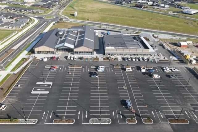
Pāpāmoa New World Supermarket
Bluehaven Group
Pāpāmoa, Bay of Plenty
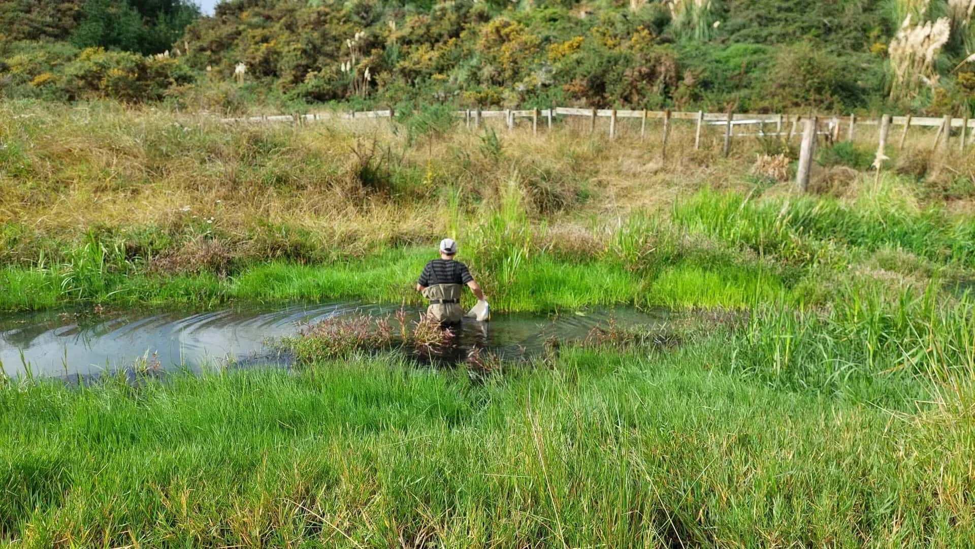
Freshwater Ecology for Waiū Dairy
Waiū Dairy Ltd
Kawerau, Bay of Plenty
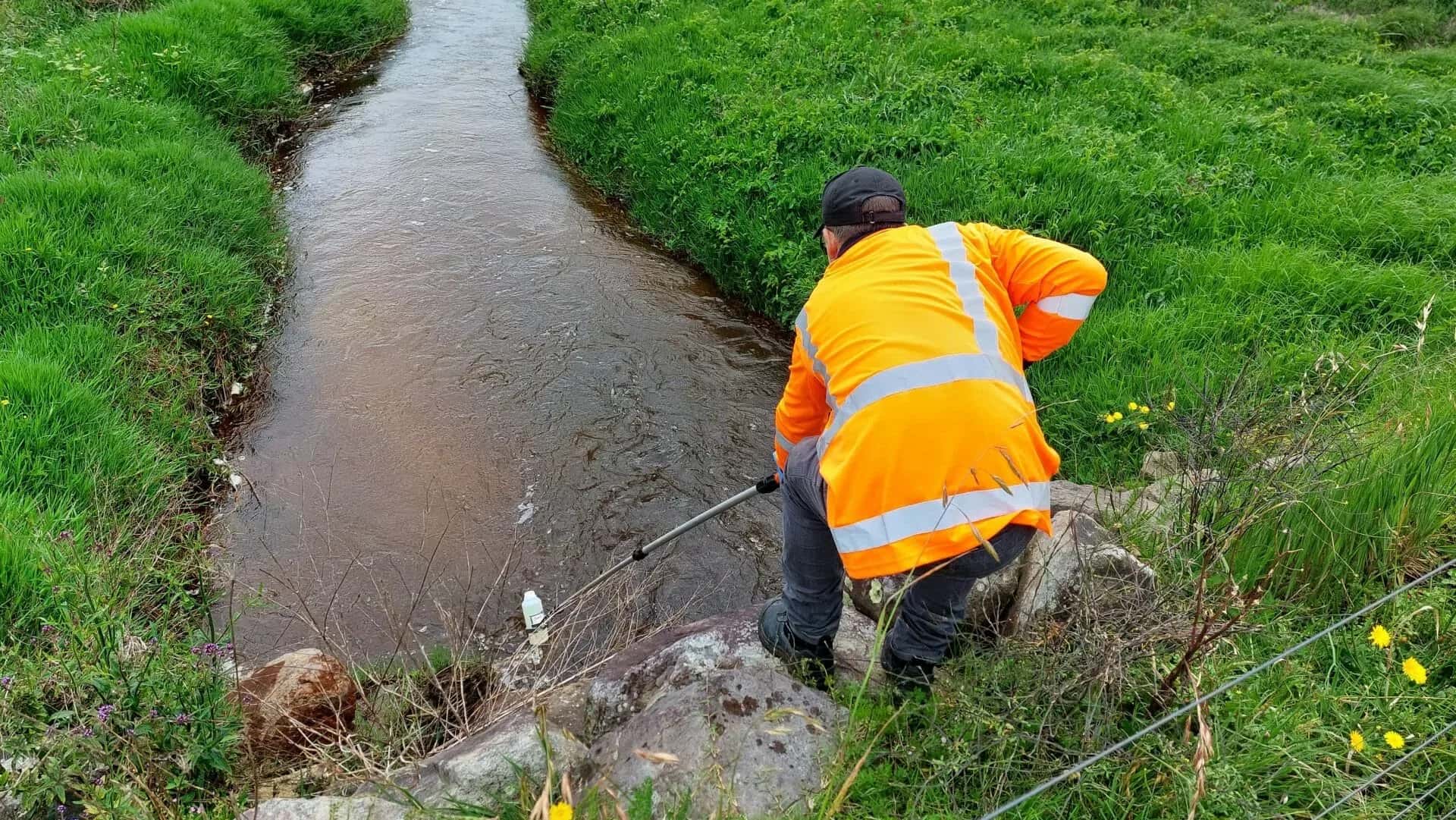
Environmental Compliance for Waiū Dairy
Waiū Dairy Ltd
Kawerau, Bay of Plenty