

Rivers, Streams and Wetlands in Whakatāne
Few places put rivers at the centre of daily life like the Eastern Bay of Plenty. The Whakatāne and Rangitāiki rivers, an extensive network of drains and canals, and the low-lying Rangitāiki Plains mean flood and river management shape the whole landscape, and the 2017 Edgecumbe flood, when a stopbank breached, showed the stakes. LDE works on the surface-water side of this, covering river and stream hydraulics, flood and erosion management, channel and stopbank-related works, stream and wetland restoration, fish passage and freshwater consenting.
We model how the rivers and the drainage network behave in flood, design channel, bank and floodplain works that manage that risk, and restore streams and wetlands across the plains. Our freshwater engineers and scientists understand how finely balanced this river-and-drainage system is, and design to work with it. For Whakatāne and the wider Eastern Bay, that means surface-water engineering rooted in how these rivers actually behave.
Talk to our Whakatāne team about your next project.
Send a Message
Enquire about your Whakatāne project
How our Whakatāne team delivers rivers, streams and wetlands work
On the Rangitāiki Plains, rivers and flood management dominate the surface-water picture. The Whakatāne and Rangitāiki rivers and a large network of drains and canals carry the catchment through low-lying, flood-prone land, so most of our work is about understanding how that system behaves in flood and designing to manage it. That covers river and channel hydraulics, bank and floodplain works, and the restoration of streams and wetlands across the plains.
It is the same rivers, streams and wetlands capability we apply to water projects across the region, where river management and freshwater health are inseparable on the plains.
- River and stream hydraulic modelling on the Rangitāiki Plains
- Bank-erosion protection and floodplain works on the major rivers
- Stream and wetland restoration across low-lying catchments
- Fish passage assessment and remediation through the drainage network
Waterways and flood management in the Eastern Bay
Rivers, freshwater and flood management around Whakatāne sit with Bay of Plenty Regional Council Toi Moana, which administers the regional and freshwater plans, runs the river and drainage schemes, and holds the flood-hazard information for the plains. We align our modelling, design and consent applications with that framework and with national freshwater direction.
- Ministry for the Environment freshwater policy and the wetland and stream rules
- Water New Zealand good-practice guidance for rivers and stormwater
LDE rivers, streams and wetlands in the Eastern Bay of Plenty
LDE delivers surface-water engineering and freshwater science across the Eastern Bay of Plenty, from river and stream hydraulics on the Rangitāiki and Whakatāne rivers to wetland restoration and fish-passage work across the plains. In a landscape where river and flood management is never far from the design, much of our work is about helping the catchment carry flood flows while keeping streams and wetlands functioning. You can explore more of our regional water delivery on the projects page.
Common questions about rivers, streams and wetlands in the Eastern Bay of Plenty
What makes river work on the Rangitāiki Plains different?
The plains are low-lying and flood-prone, and the rivers and an extensive drainage network are managed together to keep the land usable, as the 2017 Edgecumbe stopbank breach underlined. River and channel hydraulics, bank protection and floodplain behaviour drive much of the design here, and the works have to fit the wider river and drainage system.
How does river flooding shape freshwater work near Whakatāne?
Flood flows in the Whakatāne and Rangitāiki rivers set the conditions for almost everything on the plains, so we model those flows and design channel, bank and floodplain works to suit. Stream and wetland restoration is then designed to function within that flood regime rather than against it.
Who leads LDE’s freshwater work in the Eastern Bay?
Chartered Professional Engineers and freshwater scientists from our team, supported by LDE specialists across the Bay of Plenty and nationally.
Can LDE coordinate river and stream work with the regional drainage schemes?
Yes. We design channel, bank and floodplain works to fit the regional council’s river and drainage schemes on the plains, and we prepare the freshwater consents that go with them. Coordinating with the wider river and drainage system early keeps an Eastern Bay project workable and avoids problems up or downstream.
Bay of Plenty
Recent projects in Bay of Plenty
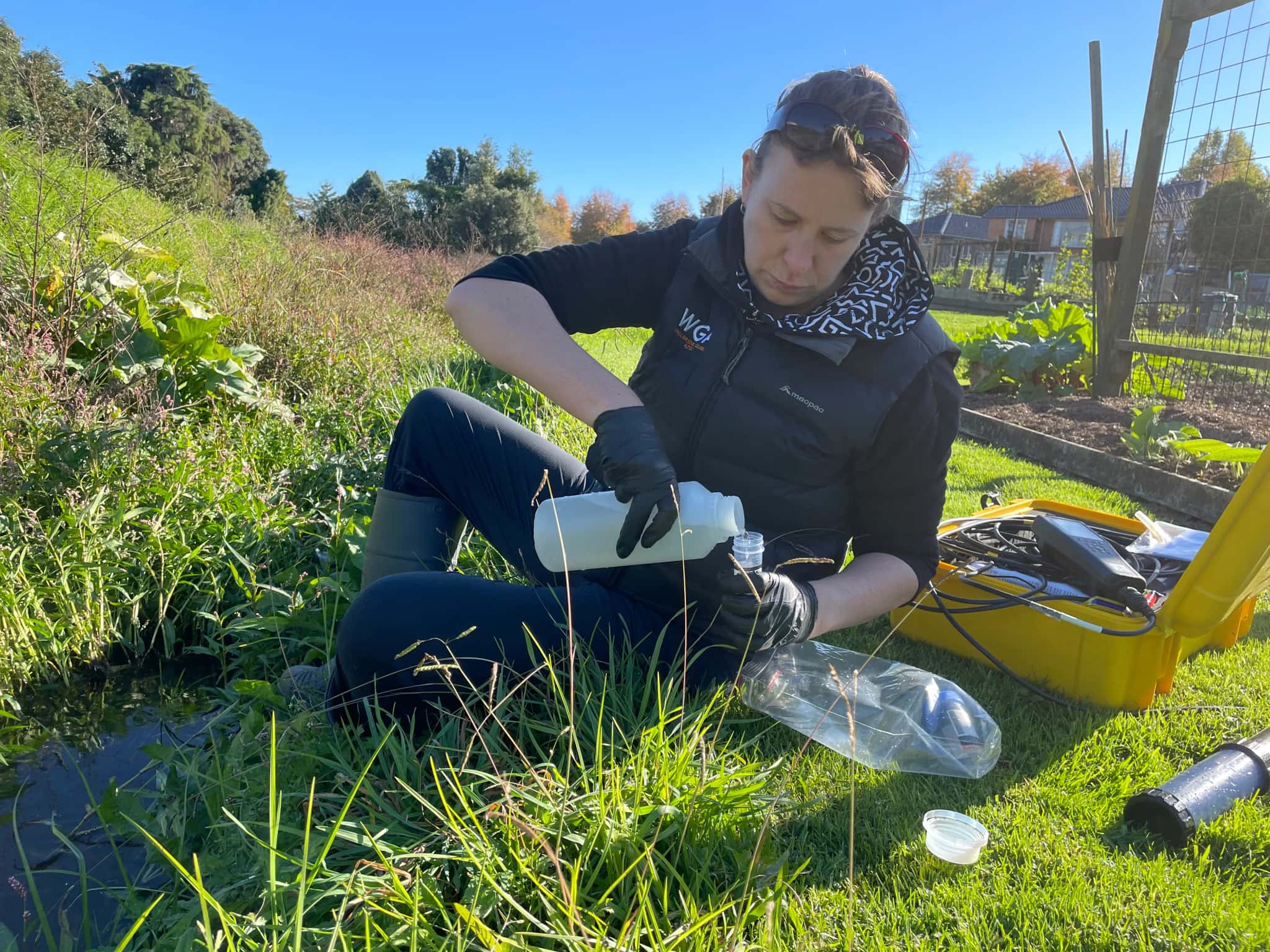
Ōmokaroa Geothermal Take and Discharge

Pillans Point Primary School, Tauranga
Tauranga
.webp&w=2048&q=60)
Pāpāmoa Retail Development
Bluehaven Group
Pāpāmoa, Bay of Plenty
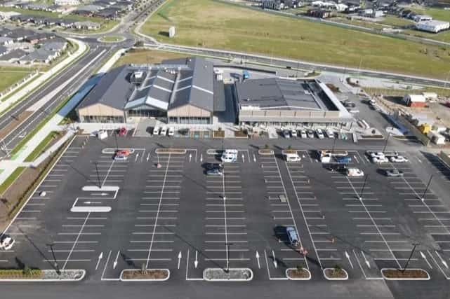
Pāpāmoa New World Supermarket
Bluehaven Group
Pāpāmoa, Bay of Plenty
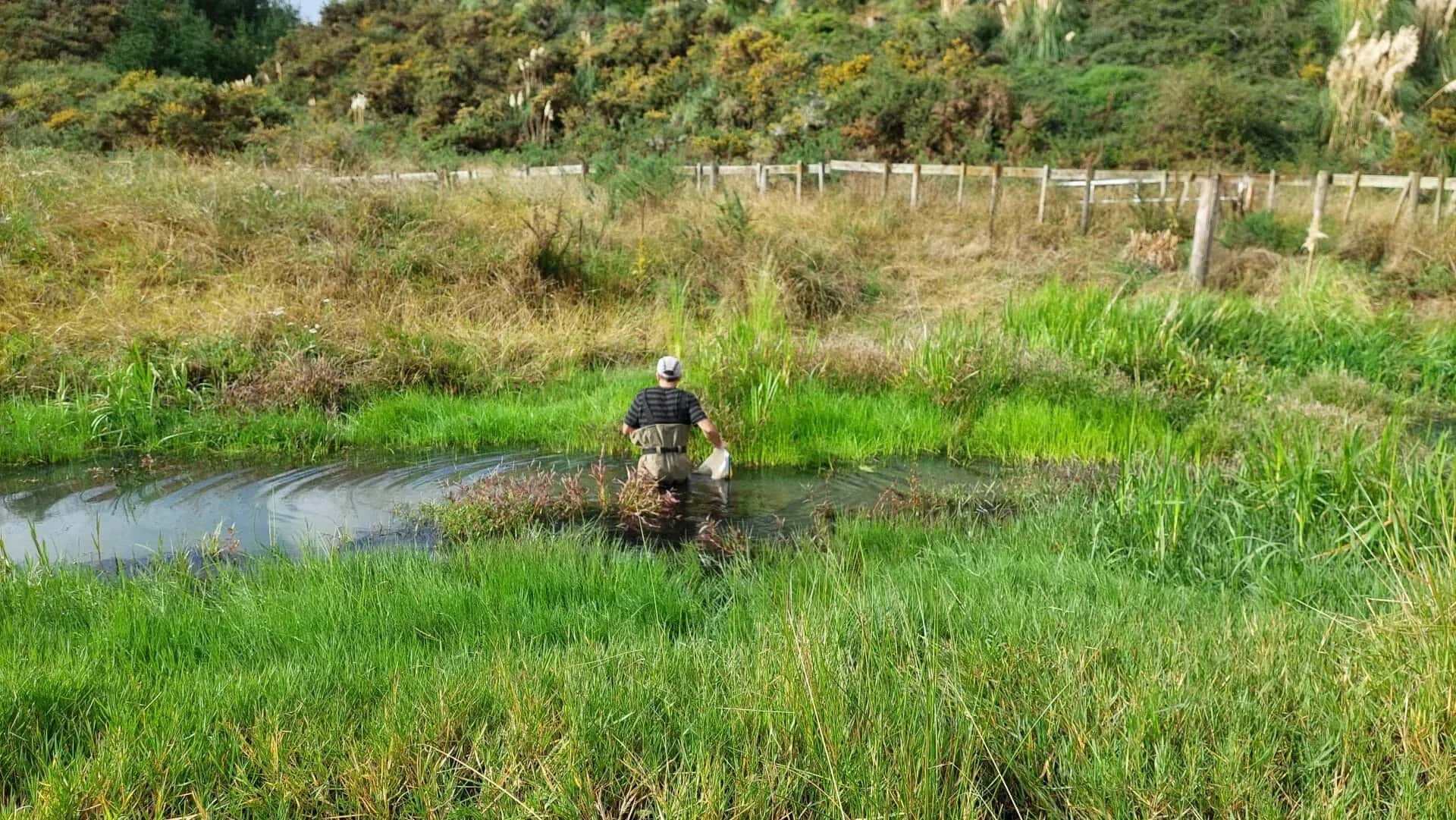
Freshwater Ecology for Waiū Dairy
Waiū Dairy Ltd
Kawerau, Bay of Plenty
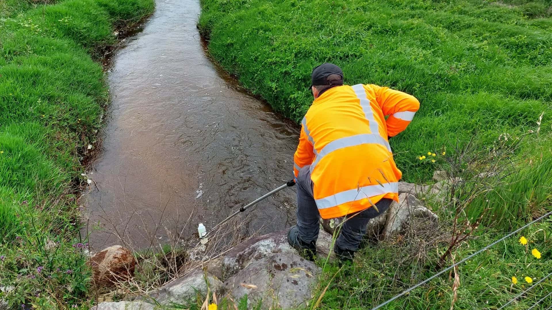
Environmental Compliance for Waiū Dairy
Waiū Dairy Ltd
Kawerau, Bay of Plenty