
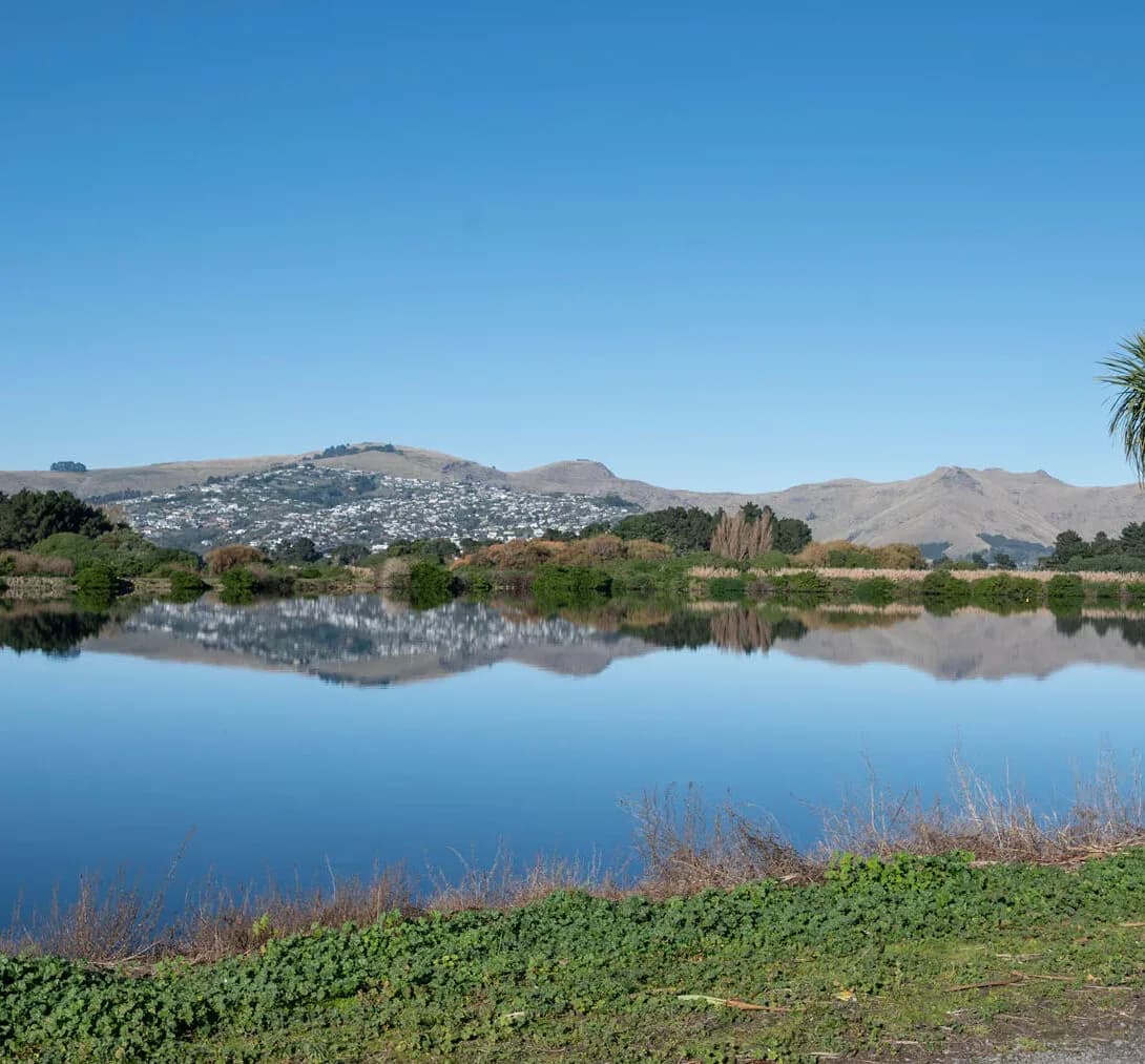
Integrated Catchment Management in Gisborne
Tairāwhiti is one of the most erosion-prone landscapes in the country, and that makes catchment management both difficult and essential. The Waipaoa and Waimatā rivers drain soft papa hill country onto the Poverty Bay flats and out to the coast, carrying some of the highest sediment loads in New Zealand, and Cyclone Gabrielle showed how quickly catchments here can mobilise land, slash and silt. Land use, forestry and severe weather are tied directly to river behaviour and water quality.
LDE brings an integrated catchment view to this setting, combining surface-water and flood modelling, erosion and sediment assessment, and land-use and water-quality analysis within the freshwater policy framework. Because Gisborne District Council is a unitary authority, catchment and freshwater planning sit together. We help the council and landowners understand how these catchments behave under storm and land-use pressure, and plan to reduce erosion and protect the rivers and coast.
For Tairāwhiti clients, that means catchment management built for a high-energy, erosion-driven landscape.
How our Gisborne team delivers integrated catchment management
In Tairāwhiti, catchment management is dominated by erosion and sediment. Soft papa hill country, steep catchments and severe storms mean huge volumes of land and silt can move in a single event, reshaping rivers and degrading water quality. Our team models the Waipaoa and Waimatā catchments, maps flood and sediment behaviour, and assesses how land use and forestry change the load reaching the flats and the coast, so the catchments are understood as the high-energy systems they are.
Bringing the surface-water, flood, erosion and land-use picture together is the core of the work, and it builds on our national integrated catchment management capability and the region’s water needs.
- Catchment and flood modelling for the Waipaoa and Waimatā rivers
- Erosion and sediment assessment in soft papa hill country
- Land-use and forestry effects on flow and water quality
- Catchment-scale planning to reduce sediment to rivers and the coast
Freshwater planning in Tairāwhiti
As a unitary authority, Gisborne District Council holds both regional and district roles, so freshwater objectives, catchment limits and land-use rules are set and managed in one place. That framework follows national freshwater direction, so we anchor our modelling and assessment in the relevant policy and good practice.
- Ministry for the Environment and the National Policy Statement for Freshwater Management
- Water New Zealand good-practice guidance for catchment and stormwater management
LDE catchment management in Tairāwhiti
LDE applies integrated catchment thinking across Tairāwhiti, from the erosion-prone Waipaoa catchment and the Waimatā draining into Poverty Bay to the smaller East Coast catchments. With erosion, forestry and severe storms shaping river behaviour, much of our work is about modelling sediment and flood response and shaping land-use and erosion-control decisions so the rivers and coast are protected. You can see more of our regional water delivery on the projects page.
Common questions about integrated catchment management in Tairāwhiti
Why is erosion central to catchment management here?
Because Tairāwhiti’s soft papa hill country erodes readily and its catchments carry very high sediment loads, especially in storms. Managing the catchment means managing erosion and land use at the source, since that is what drives river behaviour and water quality downstream.
How is this different from designing a single river or stopbank?
Single-watercourse design fixes one reach or structure. Catchment management models the whole Waipaoa or Waimatā system, including the erosion feeding it, and sets the land-use and sediment picture that river and flood works then fit within, so the catchment is treated as a whole.
Who leads LDE’s catchment work in Gisborne?
Local Chartered Professional Engineers and freshwater specialists from our Gisborne team, supported by LDE modelling and planning specialists nationally.
Can LDE help reduce sediment reaching the rivers and coast?
Yes. We model where erosion and sediment come from across the catchment and how they reach the rivers and Poverty Bay, then use that to target land-use change, erosion control and planting where they will do the most good. Working at catchment scale is what makes a real difference to sediment in a landscape like Tairāwhiti.
Tairāwhiti / East Coast
Recent projects in Tairāwhiti / East Coast
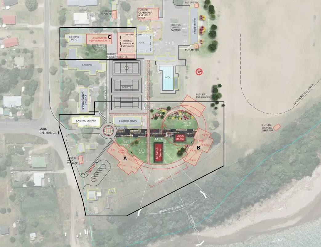
Tolaga Bay Area School Redevelopment
Ministry of Education / Babbage Architecture
Tolaga Bay
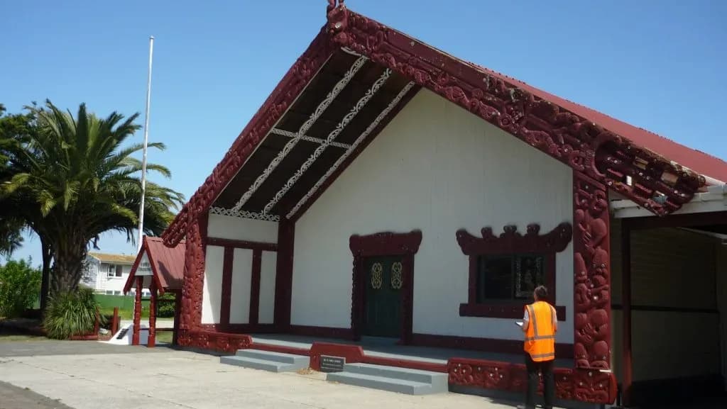
Te Poho-o-Rāwiri Marae
Gisborne
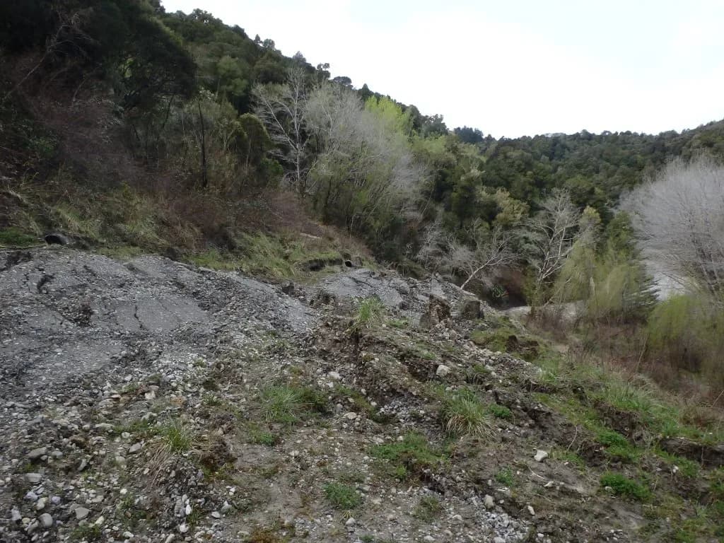
Tauwhareparae Road Landslide
Tauwhareparae, Gisborne
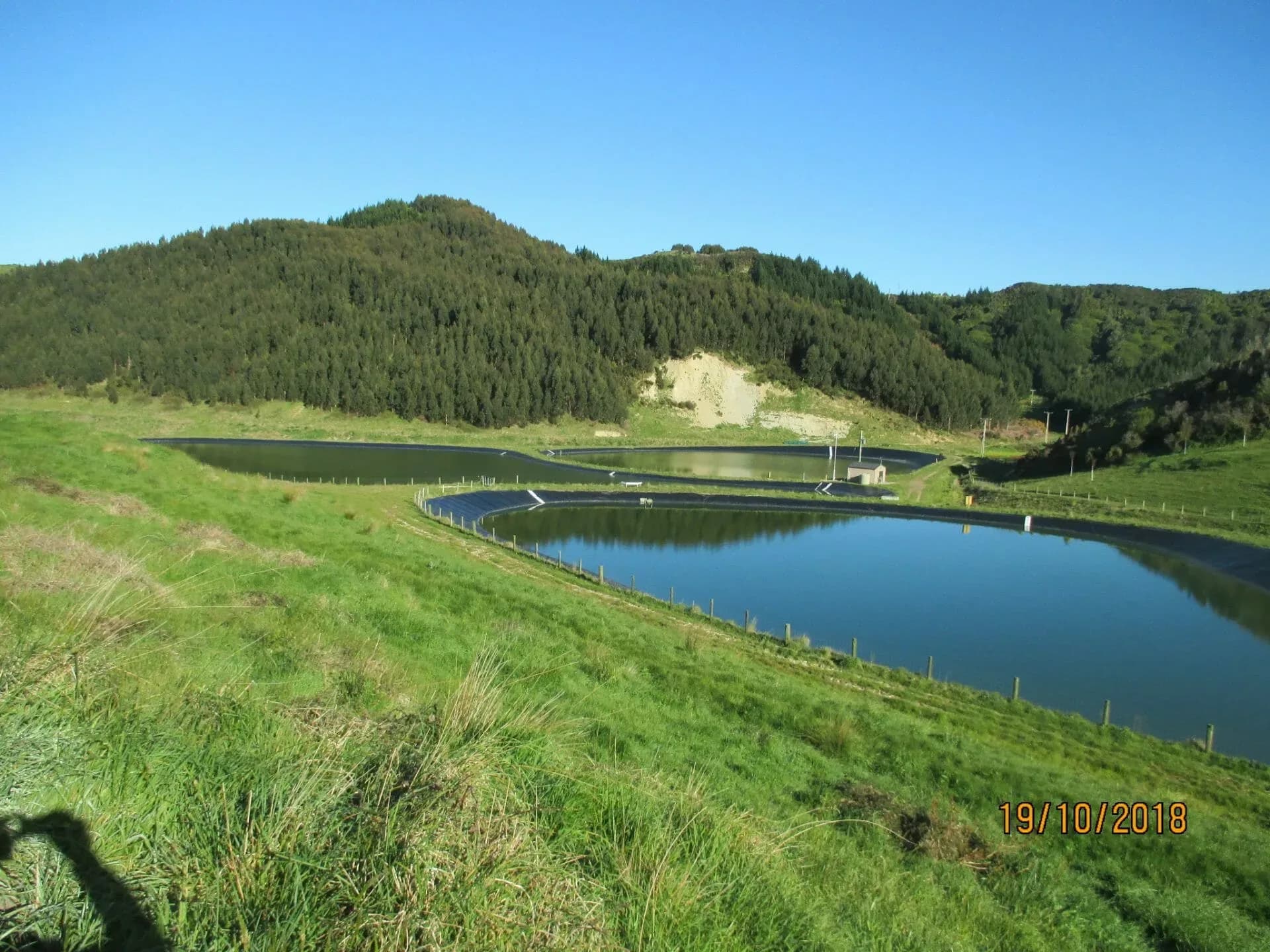
Mahia Wastewater Treatment Ponds
Mahia
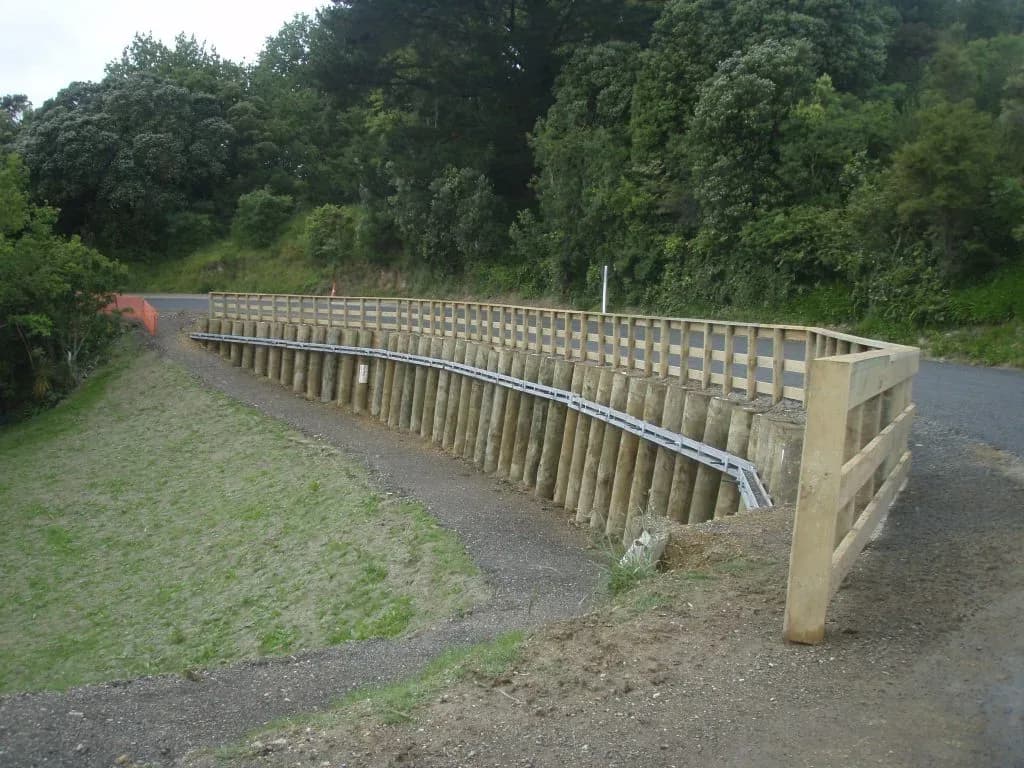
Kaiti Hill Plaza Retaining Wall
Gisborne
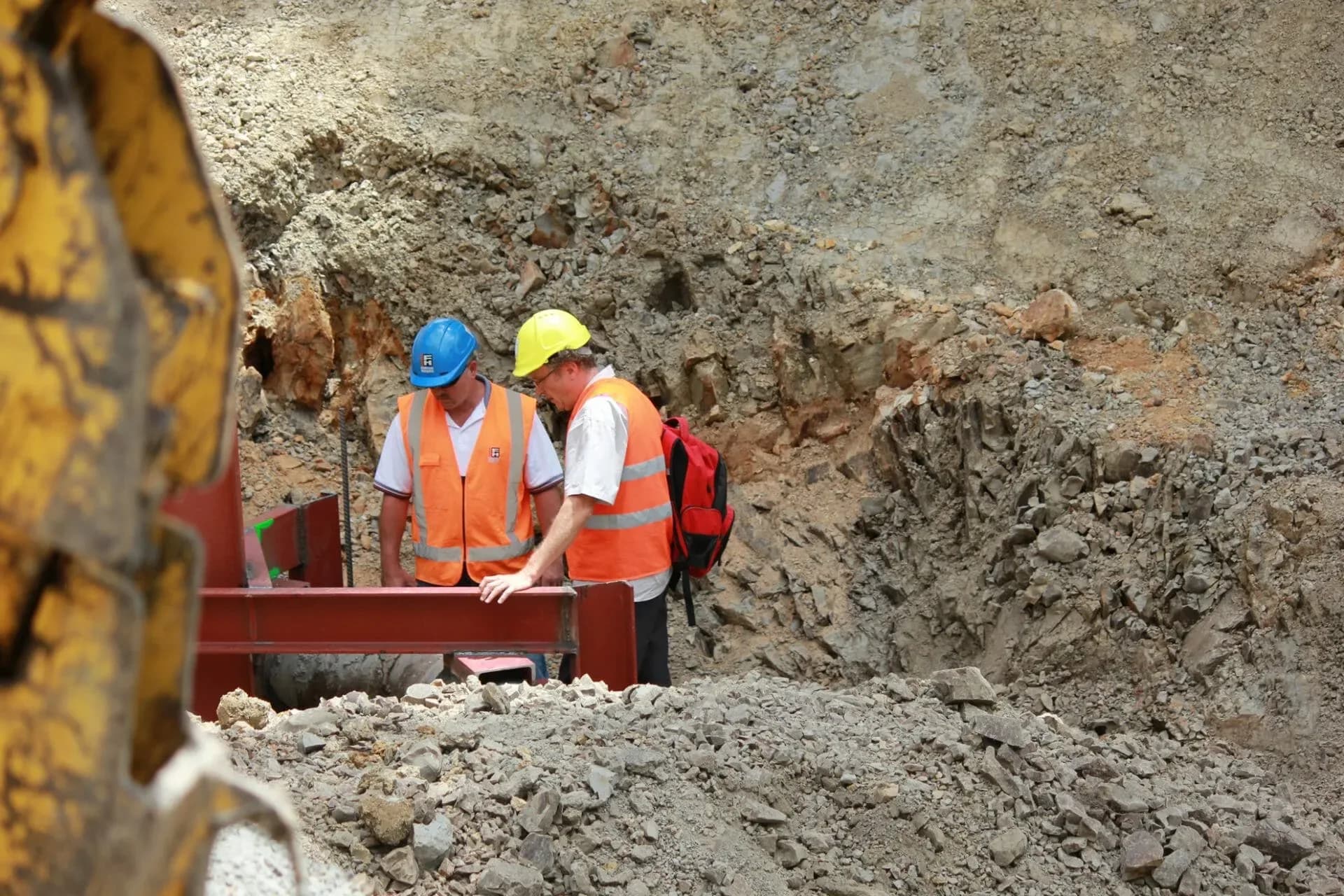
Gisborne Water Supply Pipeline
Gisborne District Council
Tarewa Road, Gisborne