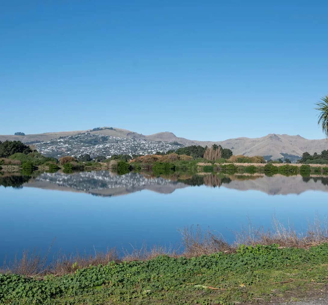
Integrated Catchment Management in Whakatāne
The Eastern Bay of Plenty is shaped by two great catchments and the plains they built. The Rangitāiki, Tarawera and Whakatāne rivers drain large, varied catchments onto the Rangitāiki Plains, a low-lying landscape kept productive by an extensive network of drains, pumps and flood works. The 2017 Edgecumbe flooding showed how finely balanced this system is, and how much catchment-scale thinking matters when land, river and sea meet.
LDE brings an integrated catchment view to this setting, combining surface-water and flood modelling, groundwater and drainage assessment, and land-use and water-quality analysis within the freshwater policy framework. We help councils, drainage authorities and landowners understand how these catchments behave, plan for flooding and land use together, and protect the rivers, wetlands and coast the plains drain into. Because the plains depend on drains and pumps as well as the rivers above them, we model the whole network as one system rather than in pieces.
For Whakatāne and the wider Eastern Bay, that means catchment management rooted in how this river-and-plains system actually works.
How our Whakatāne team delivers integrated catchment management
On the Rangitāiki Plains, catchment management is inseparable from flood and drainage management. Large river catchments meet low-lying, soft ground kept dry by drains and pumps, so understanding how the whole system moves water is essential. Our team models the Rangitāiki, Tarawera and Whakatāne catchments, maps flood behaviour across the plains, and links surface water to the high groundwater and drainage network, so the catchments are understood as one connected system.
Bringing the surface-water, flood, groundwater and land-use picture together is the core of the work, drawing on our wider integrated catchment management capability and our regional water experience across the Bay of Plenty.
- Catchment and flood modelling for the Rangitāiki, Tarawera and Whakatāne rivers
- Drainage and high-groundwater assessment across the plains
- Flood-hazard mapping where river, land and sea interact
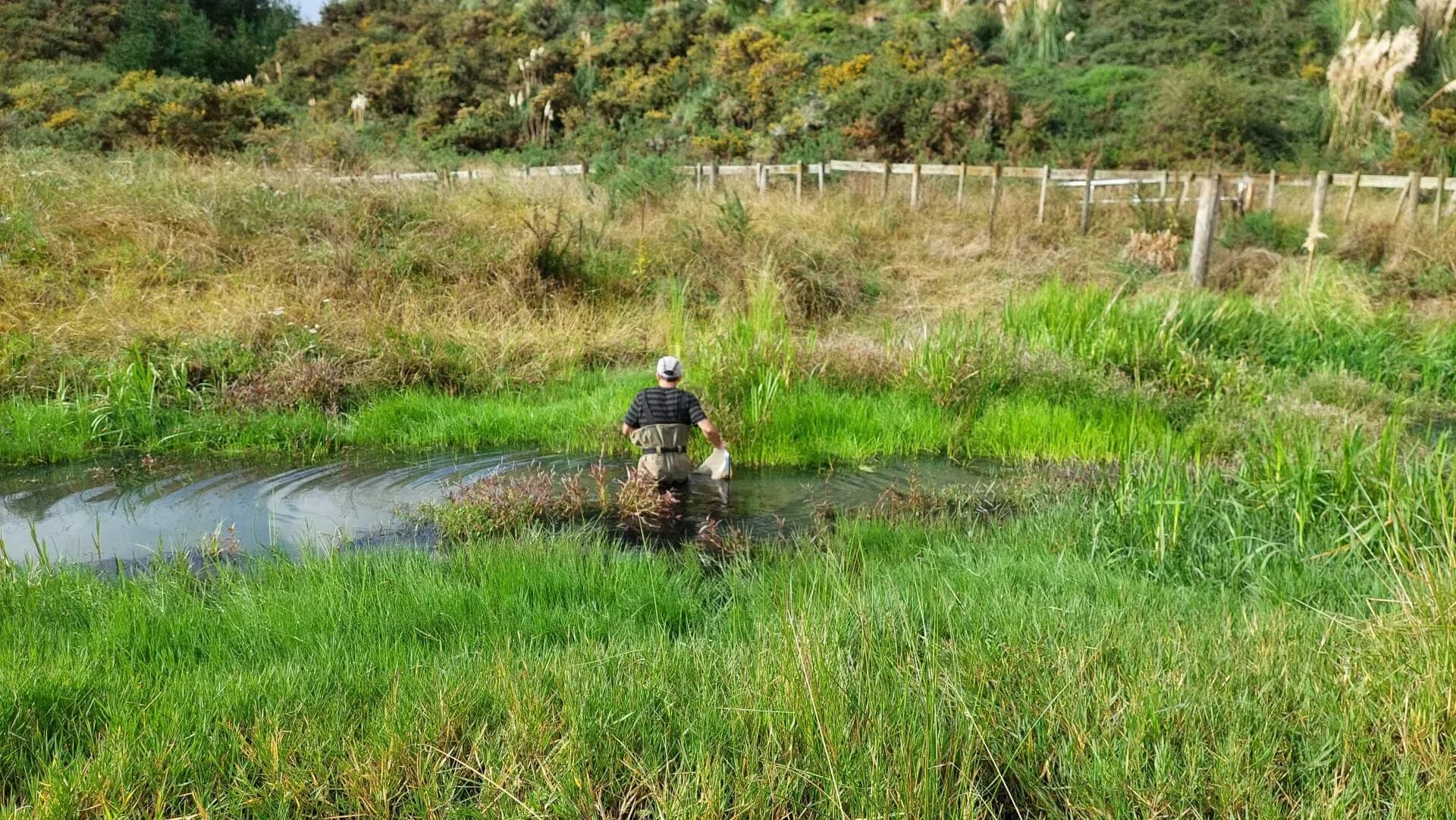
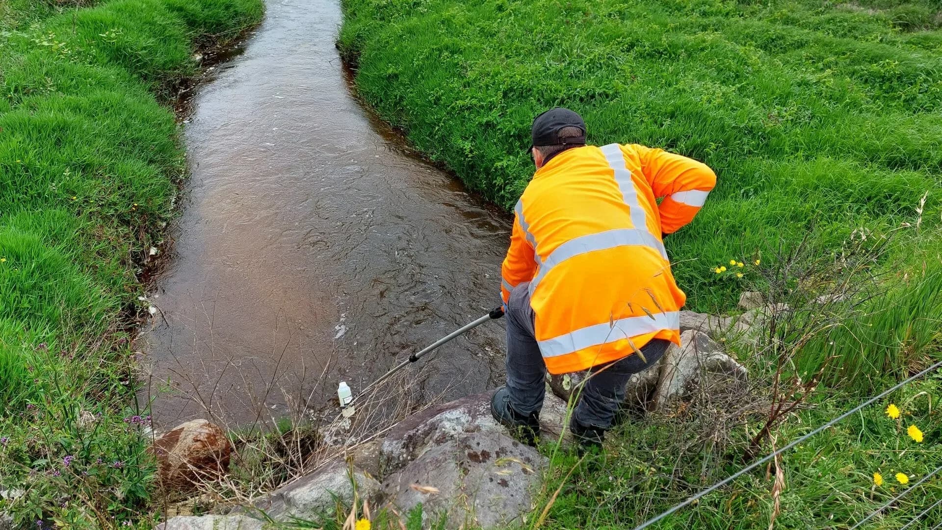
- Land-use and water-quality assessment for rivers, wetlands and the coast
Freshwater planning in the Eastern Bay
Freshwater and catchment matters across the Eastern Bay are managed by Bay of Plenty Regional Council Toi Moana, which sets the freshwater management units, limits and flood and drainage schemes that catchment work has to align with. That framework follows national freshwater direction, so we anchor our modelling and assessment in the relevant policy and good practice.
- Ministry for the Environment and the National Policy Statement for Freshwater Management
- Water New Zealand good-practice guidance for catchment and stormwater management
LDE catchment management in the Eastern Bay of Plenty
LDE applies integrated catchment thinking across the Eastern Bay of Plenty, from the Rangitāiki and Tarawera catchments draining onto the plains to the Whakatāne catchment and the coast beyond. In a landscape where flood and drainage management is never far from the design, much of our work is about modelling how the catchments behave and shaping land-use, flood and stormwater decisions so the plains, rivers and receiving waters hold up. You can explore more of our regional water delivery on the projects page.
Common questions about integrated catchment management in the Eastern Bay of Plenty
What makes catchment management on the Rangitāiki Plains distinctive?
The plains sit below large river catchments and rely on drains, pumps and flood works to stay productive, so river flow, drainage and high groundwater all interact. Managing the catchment means understanding that whole system together, which the 2017 Edgecumbe flooding made very clear.
How is this different from designing the local drainage network?
Drainage design handles a scheme or a development. Catchment management models the whole river-and-plains system and sets the flood and freshwater picture that the drainage and stormwater then has to work within, so local works fit the catchment rather than shifting risk elsewhere.
Who leads LDE’s Eastern Bay catchment work?
Chartered Professional Engineers and freshwater specialists from our team, supported by LDE modelling and planning specialists across the Bay of Plenty and nationally.
How does flood risk shape a catchment plan near Whakatāne?
Because the plains are flood-prone, flooding is a defining factor in every catchment decision here. We model how the river catchments, drainage and groundwater combine in large events and use that to guide land use, flood works and stormwater, so development stays safe and the wider system is not overloaded.
Bay of Plenty